 Block
Pontoosuc, Illinois
17 topographic sheets cover this place, the earliest surveyed in 1932 and the latest in 1990. It stands in Pontoosuc Township. It lies in ZIP code area 62330. It stands on Spillman Creek. The Survey maps it on the Dallas City quadrangle. 99 people lived here at the 2020 count. It stands 528 feet above sea level.
Population over time
2 figuresPontoosuc fell from 146 to 99 between 2010 and 2020. These are the recorded population figures Wikidata holds for this place, reached through the Geographic Names Information System number this page is keyed on rather than by name, so they belong to this place and not to another of the same name. Most are census counts, but not all are: an early figure may be a founding or settlement estimate, and an estimate published within five years of a census is left out. The change column is computed, and is left blank where more than 20 years separate a figure from the one before it, because a gap that long is not a change between two counts.
| Year | People | Change |
|---|---|---|
| 2010 | 146 | |
| 2020 | 99 | -47 (-32%) |
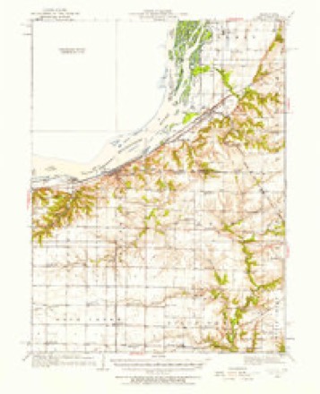
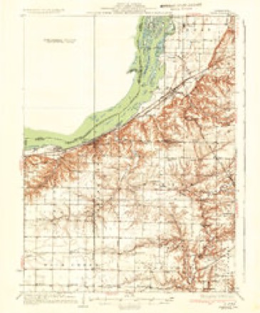
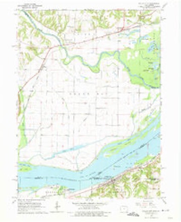
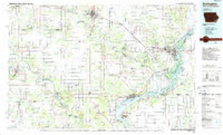
Topographic sheets covering this place
8 surveys from 17 printed sheetsMatched by testing this settlement's coordinate against the published boundary of every sheet in the United States Geological Survey's historical collection. Each opens the scanned sheet at the Survey.
- 1932 USGS Lomax quadrangle1:62500
- 1937 USGS Lomax quadrangle1:62500, 2 printings
- 1958 USGS Burlington quadrangle1:250000, 4 printings
- 1961 USGS Burlington quadrangle1:250000
- 1963 USGS Burlington quadrangle1:250000
- 1964 USGS Dallas City quadrangle1:24000, 4 printings
- 1985 USGS Burlington quadrangle1:100000, 2 printings
- 1990 USGS Burlington quadrangle1:250000, 2 printings




In the county-history sources
7,561 words on this townshipHistory of Hancock County, Illinois, Together with an Outline History of the State, and a Digest of State Laws, published 1880 names this settlement in its chapter on Pontoosuc Township. These are the passages that mention it, exactly as the scans read.
Alexander AhernetJiy is the son of Dr. William Abernethy, who was one of the iirst settlers of this county, a native of Canada, born in 1S13, and who settled in this State in 1846, locating in Pontoosuc township, engaging in the practice of his profession, which he continued until 1875, when he retired from active practice and engaged in mercantile business, which he continued until his death, June 22, 1878. Dr. Abernethey was the first physician in the township, and was known as the " Pioneer Doctor." He took an active part in expelling the Mormons from the county, and captured several prisoners and a quantity of arms and ammunition. He was married in 1836 to Miss Lucy E. Kreps, of West Virginia. They have had 7 children, 5 of whom are now living. The Doctor was for 19 years Postmaster at Pontoosuc, and held other ofBces of importance in the township.
Passage source: History of Hancock County, Illinois, Together with an Outline History of the State, and a Digest of State Laws, published 1880.
Alexander Abernethy was born in 1844, at Mount Pleasant, Iowa, and came to this State with his parents in 1846. He was engaged in teaching for nine years, and upon the death of his father he bought the drugstore his father had established, and has since been engaged in trade. He is now Postmaster at Pontoosuc, being the successor of his father in office. He has the only drug store in the place, and does a large and remunerative business. He has held a number of township offices of importance. He was a volunteer in the 16th Wis. Inf., and was with Sherman on his march to the sea.
Passage source: History of Hancock County, Illinois, Together with an Outline History of the State, and a Digest of State Laws, published 1880.
F. C. Little was born in Ohio in the year 1829, and emigrated with his parents to this State in the spring of 1847. His parents settled in Pontoosuc tp., in the fall of 1847, on sections 16, 17 and 20. Mr. Little now resides on sec. 16, having one of the best producing farms in the tp. He was married in the spring of 1849 to Miss Nancy McAuley, daughter of Major McAuley, of Pontoosuc. She died in 1877, leaving him and five sons and four daughters to mourn her loss. Mr. Little has a large number of friends and acr quaintances, and is well and favorably known throughout the county.
Passage source: History of Hancock County, Illinois, Together with an Outline History of the State, and a Digest of State Laws, published 1880.
Machine-read from a century-old scan, so expect the errors a machine makes: misspelled names, dropped words, stray characters.
Read the whole chapter on Pontoosuc Township - it names this place 8 more 8 times.
Mines and quarries near this place
7 within 5 milesRegional context, not property-specific evidence. The federal mineral resources record lists 7 workings within 5 miles of Pontoosuc: 5 past producers, 1 plant, 1 producer. 2 still produce. What was taken out: Stone, Crushed/Broken, Phosphorus-Phosphates, Stone. Distance is straight-line from the map coordinates, so a quarry counted here may appear on a neighbouring settlement's page as well.
| Where | Site | Commodity | Status | Recorded |
|---|---|---|---|---|
| Dallas City Quarries | Stone | Past Producer | ||
| Fort Madison Agrico | Phosphorus-Phosphates | Plant | ||
| Fort Madison Phosphoric Acid Plant | Phosphorus-Phosphates | Past Producer | ||
| Biggsville Quarry Medusa Agg. | Stone, Crushed/Broken | Past Producer | ||
| Dallas City Quarry | Stone, Crushed/Broken | Producer | ||
| Dallas City Quarry Turner Stone | Stone, Crushed/Broken | Past Producer | ||
| Olson Quarry | Stone, Crushed/Broken | Past Producer |
Nearest settlements
The eight closest, with where each one stands in the county. Distances are straight-line, computed from the Geographic Names Information System coordinates.
Elsewhere
Matched on this settlement's Geographic Names Information System number rather than its name, so it cannot be a different place of the same name in another state.
| Wikipedia article on Pontoosuc | An encyclopaedic summary. Its text is share-alike, so it is linked here rather than copied. |
| Wikidata item Q2292259 | The structured record the population and elevation above come from. Public domain (CC0). |
Provenance
This settlement is recorded in the Geographic Names Information System as feature 416011. The sheet list is computed by point-in-boundary test against the United States Geological Survey's historical topographic inventory. Both are works of the United States government and carry no copyright under 17 U.S.C. 105.
Mines and quarries. USGS Mineral Resources Data System (MRDS) https://mrdata.usgs.gov/mrds/ A work of the United States government, no copyright under 17 U.S.C. 105.