 Block
Pottstown, Illinois
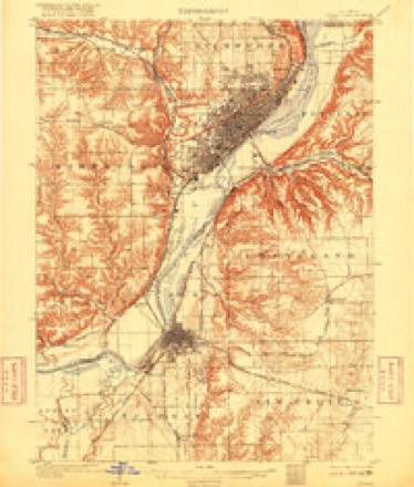
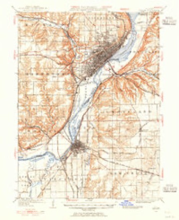
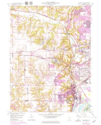
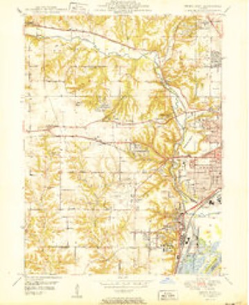
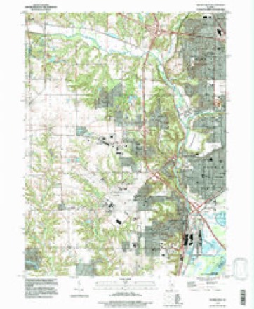
19 topographic sheets cover this place, the earliest surveyed in 1905 and the latest in 1996. It stands in Kickapoo Township. It lies in ZIP code area 61615. It stands on Big Hollow Creek. The Survey maps it on the Peoria West quadrangle.
Topographic sheets covering this place
11 surveys from 19 printed sheetsMatched by testing this settlement's coordinate against the published boundary of every sheet in the United States Geological Survey's historical collection. Each opens the scanned sheet at the Survey.
- 1905 USGS Peoria quadrangle1:62500, 4 printings
- 1927 USGS Peoria quadrangle1:62500
- 1949 USGS Peoria West quadrangle1:24000, 3 printings
- 1950 USGS Peoria West quadrangle1:24000
- 1958 USGS Peoria quadrangle1:250000, 4 printings
- 1961 USGS Peoria quadrangle1:250000
- 1963 USGS Peoria quadrangle1:250000
- 1985 USGS Peoria quadrangle1:100000
- 1989 USGS Peoria quadrangle1:100000
- 1990 USGS Peoria quadrangle1:250000
- 1996 USGS Peoria West quadrangle1:24000






In the county-history sources
15,932 words on this townshipThe History of Peoria County, Illinois. Containing a History of the Northwest--history of Illinois--history of the County, Its Early Settlement, Growth, Development, Resources, Etc., Etc. .., published 1880 names this settlement in its chapter on Kickapoo Township. These are the passages that mention it, exactly as the scans read.
Hales Mill. - In 1834 William Hale, then sheriff of Oswego county, N. Y., being West on official duty, visited the Kickapoo valley and selected a mill site at what is now the upper end of Pottstown. He returned home, resigned his offioe. and in the Spring of 183."> came back accompanied with George Greenwood, John Kasioii, and Waldo Holmes, and erected a saw mill on the site that year. The following Winter material was jjrepared, and in the Spring of 183o a flouring mill was raised. He brought the necessary machinery and his family by wagon from Albany, N. Y., that Summer, and the mill was completed and set to running in tlie Spiing of 18;iT. It was visited liy settlors for a radius of thirty miles, and was crowded with Inisiness. The water supply giving out in 1848, steam was substituted, and Mr. Hale controlled the property until his death, in 18.')9. Tiie mill was converted into a ilistiller}', which was destroyed by tiie in 1807.
Passage source: The History of Peoria County, Illinois. Containing a History of the Northwest--history of Illinois--history of the County, Its Early Settlement, Growth, Development, Resources, Etc., Etc. .., published 1880.
Ooal Mines and Mining. - At the site of the old mill there is now quite a village, whose inhabitants derive tiieir subsistance from mining the coal that abounds in such measureless profusion beneath tlie hills of the Kickapoo. The first coal mining done at that point was by Jacob Darst about 1849 or '50. In minec's parlance, he began "stripping" about that date and continued it about five years. Frederick Ruprecht and John Woolenscraft purchased from him some bluif land and commenced "drifting" the same 3'ear. In 1851, Ruprecht bought his partner's interest and operated the mine two years, when he sold out to Anderson Grimes and Judge Bryant ; they in turn sold out to Samuel Potts, who has been the heaviest operator since that time. By reason of his large mining interests, the place has become generally known as Pottstown. Henry Vicary operates a mine which was opened about 1850, and known as the Vicary lower vein. Mr. Potts and Mr. Vicary, who represent the leading coal banks, are both Englishmen and had mining experience in their native country. Until within the past two years the product of these mines was exclusively sold at the Peoria market, and hauled by wagons; but having constructed a tramway to his mine, Mr. Potts ships by rail to various points abroad. Tiie supply is thought to be inexhaustible. Parker & Clifford operate a mine, employing eight men to whom they pay $5,184 per annum.
Passage source: The History of Peoria County, Illinois. Containing a History of the Northwest--history of Illinois--history of the County, Its Early Settlement, Growth, Development, Resources, Etc., Etc. .., published 1880.
grocer and wliolcsale and retail dealer in coal, I'oltsto»n, I', O, Peoria. The subject of this sketch is the architect of his own fortune and essentially a self-made man. He is Ihe son of Joseph and Bridget Middleton, ttte Connors, and was born in the city of Peoria 23nd September, 185$. His mother died when he was about seven years ol age. Soon after, he quit the common schools and commenced to earn his own IiTing by working among fanners and whatever he could find to do. In 1874 he came to Pottstown and engaged to drive a coal-hauling team, in which capacity he continued lor some time ; then formed a partnership with Frank Stcmplin, and commenced the manufacture o brick. In 1878 Stcmplin was succeeded by George Potts. In 1879 Middleton withdrew from the business and, with other parties, leased a coal bank from Samuel Potts, senior, and commenced business as above. His wife I.ucy, to whom he was married on the fourteenth of November, 1876. is the daughter of Samuel and Ann Potts, nte Padgeter ; was born 24th July, 185S, They have one child, John Henry, who was born 25th August, 1877, Mr. Middleton is an advocate of morality and temperance in all things.
Passage source: The History of Peoria County, Illinois. Containing a History of the Northwest--history of Illinois--history of the County, Its Early Settlement, Growth, Development, Resources, Etc., Etc. .., published 1880.
Machine-read from a century-old scan, so expect the errors a machine makes: misspelled names, dropped words, stray characters.
Read the whole chapter on Kickapoo Township - it names this place 7 more 7 times.
Fires near this place
7 since 2009Regional context, not property-specific evidence. The federal wildfire occurrence database lists 7 fires within 5 miles of Pottstown in 2009, burning about 12 acres in total. None started naturally. None was recorded as arson. Distance is straight-line from the map coordinates, so a fire counted here may appear on a neighbouring settlement's page as well.
| Reported cause | Fires |
|---|---|
| Debris and open burning | 5 |
| Missing data/not specified/undetermined | 2 |
The most recent of them, most recent first, with the day each was reported and the service that recorded it.
| Date | Cause | Size | Reported by | Name on the report |
|---|---|---|---|---|
| 3 March 2009 | Debris and open burning | 1.0 acres | Illinois Division of Forestry Resources | MURR |
| 23 March 2009 | Debris and open burning | under an acre | Illinois Division of Forestry Resources | 9273 |
| 21 March 2009 | Debris and open burning | 1.0 acres | Illinois Division of Forestry Resources | 9270 |
| 21 March 2009 | Debris and open burning | 3.0 acres | Illinois Division of Forestry Resources | WORTH |
| 21 March 2009 | Missing data/not specified/undetermined | 5.0 acres | Illinois Division of Forestry Resources | 269 |
| 20 March 2009 | Missing data/not specified/undetermined | under an acre | Illinois Division of Forestry Resources | 261 |
| 20 March 2009 | Debris and open burning | 2.0 acres | Illinois Division of Forestry Resources | DUNDEE |
Settlements close enough to share some of these fires:
Mines and quarries near this place
8 within 5 milesRegional context, not property-specific evidence. The federal mineral resources record lists 8 workings within 5 miles of Pottstown: 5 past producers, 3 occurrences. None of them still produces. What was taken out: Stone, Crushed/Broken, Sand and Gravel, Construction. Distance is straight-line from the map coordinates, so a quarry counted here may appear on a neighbouring settlement's page as well.
| Where | Site | Commodity | Status | Recorded |
|---|---|---|---|---|
| Joos Sand Pit | Sand and Gravel, Construction | Past Producer | ||
| Jubilee Materials Inc. | Sand and Gravel, Construction | Past Producer | ||
| Limestone Prospect | Stone, Crushed/Broken | Occurrence | ||
| Limestone Prospect | Stone, Crushed/Broken | Occurrence | ||
| Limestone Prospect | Stone, Crushed/Broken | Occurrence | ||
| Peoria Blacktop Sand Pit | Sand and Gravel, Construction | Past Producer | ||
| Peoria City Pit | Stone, Crushed/Broken | Past Producer | ||
| Stevers Pit | Sand and Gravel, Construction | Past Producer |
Storms near this place
3 since 2016Regional context, not property-specific evidence. The National Weather Service names Pottstown in 3 storm reports between 2016 and 2024: 1 tornado, 1 flash flood, 1 thunderstorm wind. No death or injury is recorded in these reports. Each account below is quoted exactly as the forecast office filed it, from the NOAA Storm Events Database, and each date opens the federal record of that event.
| When | Event | Place named | Harm | What the report says |
|---|---|---|---|---|
| March 2016 | Tornado (EF0) | Pottstown | $260,000 | A tornado touched down 4 miles northwest of Peoria just northwest of the intersection of Richwoods Boulevard and Molleck Drive at 8:05 PM CDT. Damage was done to the roof, gutters, soffit, and ceiling tiles of the St. Francis Woods Supportive Living Center. The tornado intermittently touched down along a path to the northeast through the city of Peoria. Damage was done to roofs and trees near University and Christine, the Farmer's Market at the Metro Centre shopping facility, and trees at the Donovan Golf Course. The tornado broke a pole, snapped a tree that fell into a garage, and damaged shingles and siding in Peoria Heights on Prospect and Wickwood Roads. The tornado then dissipated 1 mile northwest of Peoria Heights before it approached Forest Park at 8:14 PM CDT. |
| July 2024 | Thunderstorm Wind | Pottstown | - | A tree was blown down onto Southport Road near the fire station. |
| August 2022 | Flash Flood | Pottstown | - | There was significant ponding of water on numerous roadways throughout Peoria. |
Nearest settlements
The eight closest, with where each one stands in the county. Distances are straight-line, computed from the Geographic Names Information System coordinates.
| Map | Place | Distance | Sheets |
|---|---|---|---|
| El Vista | 1.8 miles | 19 | |
| Norwood | 2.2 miles | 19 | |
| Golden Acres | 2.3 miles | 19 | |
| West Peoria | 2.5 miles | 19 | |
| Bellevue | 2.5 miles | 19 | |
| Maxwell | 2.9 miles | 19 | |
| Kickapoo | 3.2 miles | 19 | |
| North Peoria | 4.0 miles | 21 |
Provenance
This settlement is recorded in the Geographic Names Information System as feature 416084. The sheet list is computed by point-in-boundary test against the United States Geological Survey's historical topographic inventory. Both are works of the United States government and carry no copyright under 17 U.S.C. 105.
Wildfire. Short, Karen C. 2022. Spatial wildfire occurrence data for the United States, 1992-2020 [FPA_FOD_20221014]. 6th Edition. Fort Collins, CO: Forest Service Research Data Archive. https://doi.org/10.2737/RDS-2013-0009.6 Collected with United States Government funding and usable without additional permissions or fees.
Mines and quarries. USGS Mineral Resources Data System (MRDS) https://mrdata.usgs.gov/mrds/ A work of the United States government, no copyright under 17 U.S.C. 105.
Storms. NOAA National Centers for Environmental Information, Storm Events Database https://www.ncei.noaa.gov/stormevents/ A work of the United States government, no copyright under 17 U.S.C. 105. Narratives are quoted verbatim from the National Weather Service report and are not edited or summarised.