 Block
Proctor, Illinois
14 topographic sheets cover this place, the earliest surveyed in 1928 and the latest in 1990. It stands in Drummer Township. It lies in ZIP code area 60936. The Survey maps it on the Gibson City West quadrangle.
Topographic sheets covering this place
8 surveys from 14 printed sheetsMatched by testing this settlement's coordinate against the published boundary of every sheet in the United States Geological Survey's historical collection. Each opens the scanned sheet at the Survey.
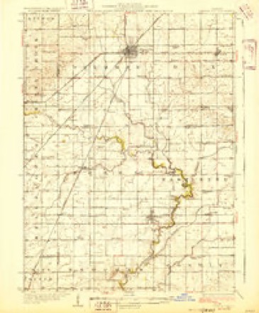
- 1928 USGS Gibson City quadrangle1:62500, 2 printings
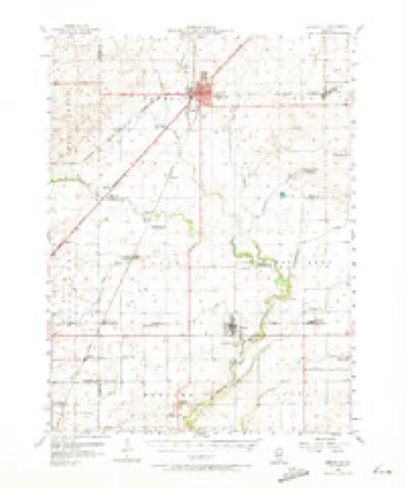
- 1957 USGS Gibson City quadrangle1:62500, 2 printings
- 1958 USGS Peoria quadrangle1:250000, 4 printings
- 1961 USGS Peoria quadrangle1:250000
- 1963 USGS Peoria quadrangle1:250000
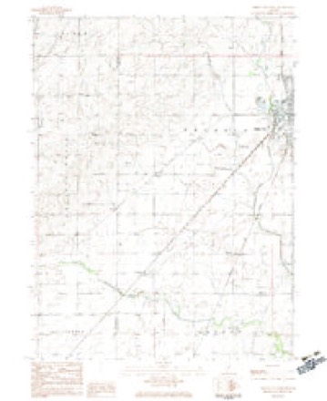
- 1982 USGS Gibson City West quadrangle1:24000
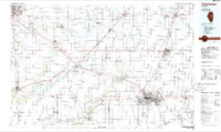
- 1985 USGS Champaign quadrangle1:100000, 2 printings
- 1990 USGS Peoria quadrangle1:250000




In the county-history sources
3,038 words on this townshipHistorical Atlas of Ford County Illinois, published 1884 names this settlement in its chapter on Drummer Township. These are the passages that mention it, exactly as the scans read.
Willard Proctor was born in Rutland, Vt., in 1827, where he lived for about twenty-five years, then moved to Illinois. In August, 1862, he enlisted in tho One Hundred and Fourth Illi¬ nois Regiment, and served in the war until its close. He was married, March, 1847, to Miss Sarah A. Hewitt, a native of Rutland, Vt.
Passage source: Historical Atlas of Ford County Illinois, published 1884.
Machine-read from a century-old scan, so expect the errors a machine makes: misspelled names, dropped words, stray characters.
Mines and quarries near this place
4 within 5 milesRegional context, not property-specific evidence. The federal mineral resources record lists 4 workings within 5 miles of Proctor: 2 past producers, 2 producers. 2 still produce. What was taken out: Sand and Gravel, Construction. Distance is straight-line from the map coordinates, so a quarry counted here may appear on a neighbouring settlement's page as well.
| Where | Site | Commodity | Status | Recorded |
|---|---|---|---|---|
| Jordon Pit | Sand and Gravel, Construction | Past Producer | ||
| Mc Call Pit | Sand and Gravel, Construction | Producer | ||
| Tucker Pit | Sand and Gravel, Construction | Producer | ||
| Utterback Pit | Sand and Gravel, Construction | Past Producer |
Storms near this place
2 since 2023Regional context, not property-specific evidence. The National Weather Service names Proctor in 2 storm reports between 2023 and 2024: 1 tornado, 1 thunderstorm wind. No death or injury is recorded in these reports. Each account below is quoted exactly as the forecast office filed it, from the NOAA Storm Events Database, and each date opens the federal record of that event.
| When | Event | Place named | Harm | What the report says |
|---|---|---|---|---|
| June 2024 | Thunderstorm Wind | Proctor | - | Broadcast media relayed trees down across state routes 47 and 54 south and southwest of Gibson City. |
| January 2023 | Tornado (EF1) | Proctor | - | A tornado occurred southeast of Gibson City on the evening of January 3rd. An NWS storm survey found that the tornado touched down just south of E 200N Rd on the south side of town between N 450E Rd and N 600E Rd at approximately 5:56 PM CST. Trekking northeastward near 30 mph, the tornado carved a path spanning 2.9 miles with a maximum width of 25 yards before lifting at 6:02 PM CST north of E 300N Rd just east of N 700E Rd. Along its path, the tornado damaged the roofs of two homes, one of which was also noted to have broken windows and a wooden post penetrating the roof. Additionally, there was significant damage to a lean-to style outbuilding as well as uprooted trees and downed power lines. The tornado was assigned an EF-1 rating with maximum wind speeds of 100 mph. |
Nearest settlements
The eight closest, with where each one stands in the county. Distances are straight-line, computed from the Geographic Names Information System coordinates.
| Map | Place | Distance | Sheets |
|---|---|---|---|
| Harpster | 2.5 miles | 14 | |
| Derby | 3.0 miles | 14 | |
| Gibson City | 3.3 miles | 14 | |
| Garber | 7.2 miles | 14 | |
| Elliott | 7.8 miles | 14 | |
| Guthrie | 7.8 miles | 14 | |
| Sibley | 12.1 miles | 14 | |
| Perdueville | 12.4 miles | 16 |
Provenance
This settlement is recorded in the Geographic Names Information System as feature 423088. The sheet list is computed by point-in-boundary test against the United States Geological Survey's historical topographic inventory. Both are works of the United States government and carry no copyright under 17 U.S.C. 105.
Mines and quarries. USGS Mineral Resources Data System (MRDS) https://mrdata.usgs.gov/mrds/ A work of the United States government, no copyright under 17 U.S.C. 105.
Storms. NOAA National Centers for Environmental Information, Storm Events Database https://www.ncei.noaa.gov/stormevents/ A work of the United States government, no copyright under 17 U.S.C. 105. Narratives are quoted verbatim from the National Weather Service report and are not edited or summarised.