 Block
Ray, Illinois
15 topographic sheets cover this place, the earliest surveyed in 1926 and the latest in 1990. It stands in Oakland Township. It lies in ZIP code area 62681. It stands on McKee Branch. The Survey maps it on the Ray quadrangle.
Topographic sheets covering this place
9 surveys from 15 printed sheetsMatched by testing this settlement's coordinate against the published boundary of every sheet in the United States Geological Survey's historical collection. Each opens the scanned sheet at the Survey.
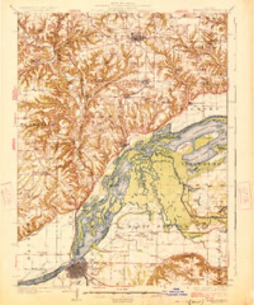
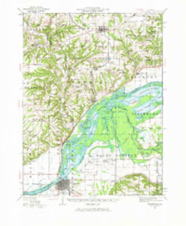
- 1926 USGS Beardstown quadrangle1:62500, 2 printings
- 1944 USGS Beardstown quadrangle1:62500, 2 printings
- 1958 USGS Burlington quadrangle1:250000, 4 printings
- 1961 USGS Burlington quadrangle1:250000
- 1963 USGS Burlington quadrangle1:250000
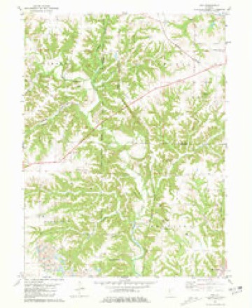
- 1981 USGS Ray quadrangle1:24000
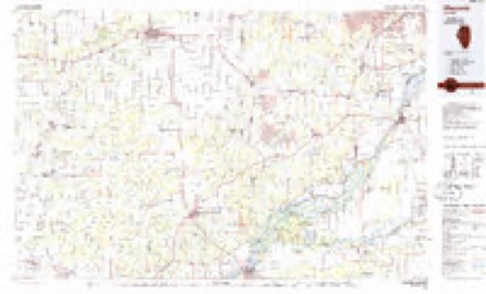
- 1985 USGS Macomb quadrangle1:100000
- 1989 USGS Macomb quadrangle1:100000
- 1990 USGS Burlington quadrangle1:250000, 2 printings




Storms near this place
9 since 1996Regional context, not property-specific evidence. The National Weather Service names Ray in 9 storm reports between 1996 and 2026: 5 hail, 4 flash flood. No death or injury is recorded in these reports. Each account below is quoted exactly as the forecast office filed it, from the NOAA Storm Events Database, and each date opens the federal record of that event.
| When | Event | Place named | Harm | What the report says |
|---|---|---|---|---|
| July 2010 | Flash Flood | Ray | $370,000 | Slow moving thunderstorms produced copious amounts of rainfall in much of Schuyler County late in the evening of July 28th. Nearly 5.00 of rain was measured in 90 minutes which produced nearly two feet of water on many rural roads. This rainfall event, combined with the heavy rain and flooding nine days earlier, produced extensive damage to 24 box culverts and bridges in northern and eastern Schuyler County. |
| July 2010 | Flash Flood | Ray | $100,000 | Clusters of training thunderstorms produced excessive amounts of rainfall in Schuyler County during the late evening hours of July 19th. Rainfall rates of 2.00 per hour for more than 3 hours produced widespread flash flooding, which closed nearly every rural road and caused some road damage in northern and western parts of the county. Total rainfall accumulations reached nearly 8.00 in western Schuyler county near Camden and Huntsville. Two people suffered indirect injuries due to traffic accidents as a result of the flooded roads. |
| February 2011 | Hail | Ray | $5,000 | Golfball-sized hail broke windows at a home 2 miles north of Ray. |
| June 2015 | Flash Flood | Ray | - | Heavy rainfall ranging from 2.50 to 4.00 resulted in rapid flooding of rural roads east of U.S. Highway 24 in northeast Schuyler County. Rural roads were also impassable north of the village of Ray, near the Fulton/McDonough County lines. |
| August 2010 | Flash Flood | Ray | - | Isolated thunderstorms in eastern Schuyler County produced heavy rainfall, with rates of 1.50 inches per hour for at least two hours during the late evening of August 10th. Rural roads, many of which were damaged in flooding the previous month, were inundated and impassable. |
| March 2006 | Hail | Ray | - | Hail covering the ground. |
| February 2026 | Hail | Ray | - | no account filed |
| June 2014 | Hail | Ray | - | no account filed |
| April 1996 | Hail | Ray | - | no account filed |
Nearest settlements
The eight closest, with where each one stands in the county. Distances are straight-line, computed from the Geographic Names Information System coordinates.
| Map | Place | Distance | Sheets |
|---|---|---|---|
| Oakland Center | 2.6 miles | 15 | |
| Bader | 6.1 miles | 15 | |
| Pleasant View | 7.1 miles | 16 | |
| Rushville | 7.5 miles | 15 | |
| Browning | 7.7 miles | 15 | |
| Littleton | 8.0 miles | 15 | |
| Hale Ridge (historical) | 9.2 miles | 14 | |
| Frederick | 9.7 miles | 16 |
Provenance
This settlement is recorded in the Geographic Names Information System as feature 416423. The sheet list is computed by point-in-boundary test against the United States Geological Survey's historical topographic inventory. Both are works of the United States government and carry no copyright under 17 U.S.C. 105.
Storms. NOAA National Centers for Environmental Information, Storm Events Database https://www.ncei.noaa.gov/stormevents/ A work of the United States government, no copyright under 17 U.S.C. 105. Narratives are quoted verbatim from the National Weather Service report and are not edited or summarised.