 Block
Ridgefield, Illinois
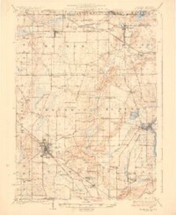
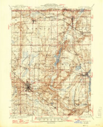
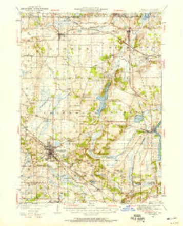
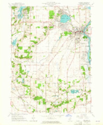
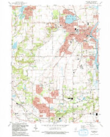
17 topographic sheets cover this place, the earliest surveyed in 1926 and the latest in 1992. It stands in Dorr Township. The Survey maps it on the McHenry quadrangle. 210 people lived here at the 2020 count. It stands 938 feet above sea level.
Topographic sheets covering this place
10 surveys from 17 printed sheetsMatched by testing this settlement's coordinate against the published boundary of every sheet in the United States Geological Survey's historical collection. Each opens the scanned sheet at the Survey.
- 1926 USGS Mc Henry quadrangle1:62500
- 1926 USGS McHenry quadrangle1:62500, 2 printings
- 1944 USGS McHenry quadrangle1:62500, 2 printings
- 1954 USGS Rockford quadrangle1:250000
- 1955 USGS Rockford quadrangle1:250000
- 1958 USGS Rockford quadrangle1:250000, 4 printings
- 1963 USGS McHenry quadrangle1:24000, 3 printings
- 1963 USGS Rockford quadrangle1:250000
- 1981 USGS Elgin quadrangle1:100000
- 1992 USGS McHenry quadrangle1:24000





In the county-history sources
3,039 words on this townshipHistory of McHenry County, Illinois, published 1922 names this settlement in its chapter on Dorr Township. These are the passages that mention it, exactly as the scans read.
Ridgefield Cemetery, the oldest burial ground in the township, was laid out in 1835 by Charles McClure as a private cemetery, but later he permitted the interment of outsiders. It is divided by the eastern line of Dorr Township, and the greater part of it lies in Nunda Township. Originally it comprised only two acres, but subsequently was increased to the present size.
Passage source: History of McHenry County, Illinois, published 1922.
Ridgefield is located on section 25, township 44, range 7, and was platted by William Hartman, January 8, 1855, and it occupies the lands originally owned by members of the Virginia settlement. It came into being as a result of a station being located at this point, when the rail- road was built through the county. Lots were sold so low by Mr. Hartman, in order to induce outsiders to come here, that he failed to realize any profit. He erected the first building, in which a store was established by George K. Bunker. J. (1. Ilartman opened a wagonmaking shop; Miles Graff was the first blacksmith; Daniel Root was the first shoemaker, and David Graff opened a hotel, but soon thereafter sold to a Mr. Holmes. Ridgefield is now the center of one of the large milk plants of t he county.
Passage source: History of McHenry County, Illinois, published 1922.
Ridgefield post office was established in 1837, and was located a mile and a half west of the present village, at the residence of Christopher Walkup, who was the first postmaster. After the building of the railroad the office was moved to Ridgefield, and Isaac Hamilton was appointed postmaster. He was succeeded by A. F. Davis. During the subsequent years the post office has been kept by the owner of one or other of the stores at this point, and is now located in the Economy store.
Passage source: History of McHenry County, Illinois, published 1922.
Machine-read from a century-old scan, so expect the errors a machine makes: misspelled names, dropped words, stray characters.
Mines and quarries near this place
5 within 5 milesRegional context, not property-specific evidence. The federal mineral resources record lists 5 workings within 5 miles of Ridgefield: 2 producers, 2 past producers, 1 plant. 3 still produce. What was taken out: Sand and Gravel, Construction. Distance is straight-line from the map coordinates, so a quarry counted here may appear on a neighbouring settlement's page as well.
| Where | Site | Commodity | Status | Recorded |
|---|---|---|---|---|
| Crystal Lake Sand & Gravel Pit | Sand and Gravel, Construction | Producer | ||
| D & Z Pit & Mill | Sand and Gravel, Construction | Plant | ||
| Huntley Pit | Sand and Gravel, Construction | Producer | ||
| Reed Pit | Sand and Gravel, Construction | Past Producer | ||
| Woodstock Pit | Sand and Gravel, Construction | Past Producer |
Storms near this place
5 since 2014Regional context, not property-specific evidence. The National Weather Service names Ridgefield in 5 storm reports between 2014 and 2024: 4 thunderstorm wind, 1 heavy rain. No death or injury is recorded in these reports. Each account below is quoted exactly as the forecast office filed it, from the NOAA Storm Events Database, and each date opens the federal record of that event.
| When | Event | Place named | Harm | What the report says |
|---|---|---|---|---|
| June 2024 | Heavy Rain | Ridgefield | - | A Davis personal weather station recorded 3.78 of storm total rainfall. |
| August 2023 | Thunderstorm Wind | Ridgefield | - | A tree was blown down on Doty Road at Lucus Road. |
| July 2021 | Thunderstorm Wind | Ridgefield | - | A wind gust to 60 mph was measured at the McHenry County College. |
| September 2019 | Thunderstorm Wind | Ridgefield | - | Wind gusts were estimated to 60 mph. |
| June 2014 | Thunderstorm Wind | Ridgefield | - | Six trees three to five feet in diameter were split with parts of the trees blown down along Route 176 between Route 14 and Briarwood Road. Scattered small trees and tree limbs were reportedly blown down across town. |
Nearest settlements
The eight closest, with where each one stands in the county. Distances are straight-line, computed from the Geographic Names Information System coordinates.
| Map | Place | Distance | Sheets |
|---|---|---|---|
| North Shore | 2.0 miles | 19 | |
| Crystal Vista | 2.1 miles | 19 | |
| Crystal Gardens | 2.6 miles | 18 | |
| Holcombville Corners | 2.7 miles | 17 | |
| Lakewood | 2.7 miles | 19 | |
| Crystal Lake | 3.0 miles | 19 | |
| Terra Cotta | 3.4 miles | 17 | |
| Bull Valley | 3.6 miles | 17 |
Elsewhere
Matched on this settlement's Geographic Names Information System number rather than its name, so it cannot be a different place of the same name in another state.
| Wikipedia article on Ridgefield | An encyclopaedic summary. Its text is share-alike, so it is linked here rather than copied. |
| Wikidata item Q7332737 | The structured record the population and elevation above come from. Public domain (CC0). |
Provenance
This settlement is recorded in the Geographic Names Information System as feature 416644. The sheet list is computed by point-in-boundary test against the United States Geological Survey's historical topographic inventory. Both are works of the United States government and carry no copyright under 17 U.S.C. 105.
Mines and quarries. USGS Mineral Resources Data System (MRDS) https://mrdata.usgs.gov/mrds/ A work of the United States government, no copyright under 17 U.S.C. 105.
Storms. NOAA National Centers for Environmental Information, Storm Events Database https://www.ncei.noaa.gov/stormevents/ A work of the United States government, no copyright under 17 U.S.C. 105. Narratives are quoted verbatim from the National Weather Service report and are not edited or summarised.