 Block
Romeo, Illinois
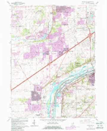
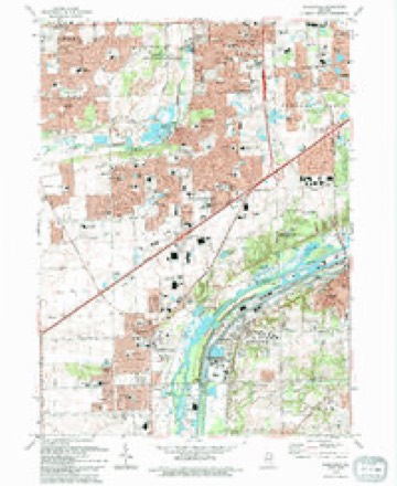
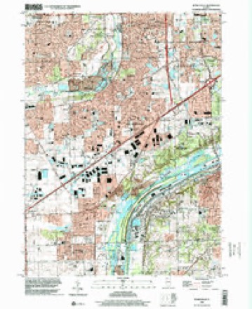
24 topographic sheets cover this place, the earliest surveyed in 1892 and the latest in 1998. It stands in Lockport Township. It lies in ZIP code area 60441. It stands on Long Run. The Survey maps it on the Romeoville quadrangle.
Topographic sheets covering this place
10 surveys from 24 printed sheetsMatched by testing this settlement's coordinate against the published boundary of every sheet in the United States Geological Survey's historical collection. Each opens the scanned sheet at the Survey.
- 1892 USGS Joliet quadrangle1:62500, 6 printings
- 1923 USGS Joliet quadrangle1:62500, 5 printings
- 1954 USGS Joliet quadrangle1:62500
- 1954 USGS Romeoville quadrangle1:24000
- 1958 USGS Aurora quadrangle1:250000, 3 printings
- 1961 USGS Aurora quadrangle1:250000
- 1962 USGS Romeoville quadrangle1:24000, 4 printings
- 1985 USGS Aurora quadrangle1:100000
- 1993 USGS Romeoville quadrangle1:24000
- 1998 USGS Romeoville quadrangle1:24000
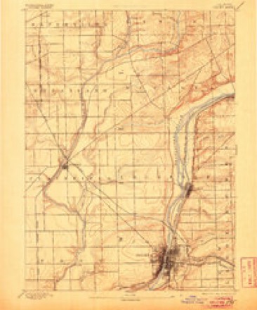
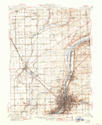
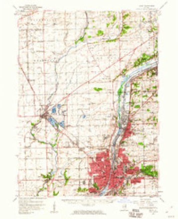
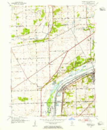



In the county-history sources
2,883 words on this townshipThe History of Will County, Illinois, Containing a History of the County ... a Directory of Its Real Estate Owners; Portraits of Early Settlers and Prominent Men; General and Local Statistics ... History of Illinois ... History of the Northwest .., published 1878 names this settlement in its chapter on Lockport Township. These are the passages that mention it, exactly as the scans read.
Lockport is a grain market of considerable importance. Trade in grain began here on the opening of the Canal in 1848. Hiram Norton, the father of the present grain dealer, J. L. Norton, John Milks, Jenkins, and Geo. Gaylord, were the first who entered the business. Gaylord & Co., with the exception of from 1852 to 1863, have been in the trade ever since, and handle annually from 300,000 to 400,000 bushels of corn and oats exclusively, all of which is shipped by the canal. Gaylord was the first man to buy grain at legal weights, and had a hard fight with the other dealers to maintain it, but eventually carried the day. Since buying the Martin property, Gaylord & Co. have storage and cribbing capacity for more than 200,000 bushels of grain. Their elevators have improved steam-power, and are provided with grain-dumps and all modern conveniences for handling grain. Norton & Co. are the only other firm in the grain business here at present. They handle, including the wheat used in the mill, perhaps between 800,000 and 900,000 bushels annually. With an extensive and well-appointed warehouse and steam elevator of large capacity, they are well prepared for the grain business in any form or shape. George B. Martin, at one time, was a heavy grain dealer at this place - too heavy for the financial benefit of many of his patrons. He commenced business here in 1849 - 50, without capital it is supposed, and by dint of energy and good business ability worked up an immense trade, gaining the fullest confidence of the entire community. There are, perhaps, few cases on record of a more complete betrayal of confidence. Many hard-working people had deposited their savings with him, and it is even said that washerwomen had money deposited in his hands, when, without warning he failed most disastrously, to the amount of $200,000, a failure aggravated in its nature and sad in its results ; scarcely equaled in the distress it wrought among the working people, by Spencer's State Savings failure or Myer's "busted" Beehive, of Chicago. He is said to have been of most excellent family, was not a fast man nor high liver, but is supposed to have managed badly, paid too much interest, and traded too high on borrowed capital. One bad move he made was in establishing a grain point at Romeo, a few miles north of Lockport, which took considerable trade from him, which, otherwise, he would have secured at this place. William Shields and Anderson are now buying grain at Romeo for Norton & Co., and do quite a large business for a country station.
Passage source: The History of Will County, Illinois, Containing a History of the County ... a Directory of Its Real Estate Owners; Portraits of Early Settlers and Prominent Men; General and Local Statistics ... History of Illinois ... History of the Northwest .., published 1878.
Machine-read from a century-old scan, so expect the errors a machine makes: misspelled names, dropped words, stray characters.
Fires near this place
7 since 2020Regional context, not property-specific evidence. The federal wildfire occurrence database lists 7 fires within 5 miles of Romeo in 2020, burning about 4 acres in total. None started naturally. None was recorded as arson. Distance is straight-line from the map coordinates, so a fire counted here may appear on a neighbouring settlement's page as well.
| Reported cause | Fires |
|---|---|
| Missing data/not specified/undetermined | 3 |
| Debris and open burning | 2 |
| Smoking | 1 |
| Equipment and vehicle use | 1 |
The most recent of them, most recent first, with the day each was reported and the service that recorded it.
| Date | Cause | Size | Reported by | Name on the report |
|---|---|---|---|---|
| 1 September 2020 | Debris and open burning | under an acre | Illinois Division of Forestry Resources | 20-0002215 |
| 3 August 2020 | Smoking | under an acre | Illinois Division of Forestry Resources | 20-0001661 |
| 5 May 2020 | Missing data/not specified/undetermined | under an acre | Illinois Division of Forestry Resources | 20-0000919 |
| 5 May 2020 | Missing data/not specified/undetermined | under an acre | Illinois Division of Forestry Resources | 20-0000918 |
| 13 April 2020 | Debris and open burning | 1.0 acres | Illinois Division of Forestry Resources | 20-0000723 |
| 9 November 2020 | Equipment and vehicle use | under an acre | Illinois Division of Forestry Resources | 20-0002593 |
| 1 October 2020 | Missing data/not specified/undetermined | 1.0 acres | Illinois Division of Forestry Resources | 20-0002295 |
Settlements close enough to share some of these fires:
Mines and quarries near this place
9 within 5 milesRegional context, not property-specific evidence. The federal mineral resources record lists 9 workings within 5 miles of Romeo: 3 past producers, 3 plants, 2 producers, 1 occurrence. 5 still produce. What was taken out: Stone, Crushed/Broken, Sulfur, Sand and Gravel, Construction. Distance is straight-line from the map coordinates, so a quarry counted here may appear on a neighbouring settlement's page as well.
| Where | Site | Commodity | Status | Recorded |
|---|---|---|---|---|
| Lemont Pit | Sand and Gravel, Construction | Past Producer | ||
| (Facility) Mobil Oil Joilet Refinery | Sulfur | Plant | ||
| (Facility) Union 76 Chicago Refinery | Sulfur | Plant | ||
| Texaco Lockport Plant | Sulfur | Producer | ||
| Barge Slip Quarry | Stone, Crushed/Broken | Past Producer | ||
| Lemont Quarry & Mill Yard 360 | Stone, Crushed/Broken | Producer | ||
| Lemont Quarry Consumers Company | Stone, Crushed/Broken | Past Producer | ||
| Limestone Prospect | Stone, Crushed/Broken | Occurrence | ||
| Romeo Quarry & Mill | Stone, Crushed/Broken | Plant |
Nearest settlements
The eight closest, with where each one stands in the county. Distances are straight-line, computed from the Geographic Names Information System coordinates.
| Map | Place | Distance | Sheets |
|---|---|---|---|
| Romeoville | 1.7 miles | 24 | |
| Hampton Park | 1.7 miles | 24 | |
| Nottingham Ridge | 1.9 miles | 24 | |
| Honeytree | 2.0 miles | 24 | |
| Basham Carriage Manor Estates | 2.0 miles | 24 | |
| Haley Meadows | 2.1 miles | 24 | |
| Boula | 2.2 miles | 23 | |
| Lockport Heights | 2.3 miles | 23 |
Provenance
This settlement is recorded in the Geographic Names Information System as feature 416897. The sheet list is computed by point-in-boundary test against the United States Geological Survey's historical topographic inventory. Both are works of the United States government and carry no copyright under 17 U.S.C. 105.
Wildfire. Short, Karen C. 2022. Spatial wildfire occurrence data for the United States, 1992-2020 [FPA_FOD_20221014]. 6th Edition. Fort Collins, CO: Forest Service Research Data Archive. https://doi.org/10.2737/RDS-2013-0009.6 Collected with United States Government funding and usable without additional permissions or fees.
Mines and quarries. USGS Mineral Resources Data System (MRDS) https://mrdata.usgs.gov/mrds/ A work of the United States government, no copyright under 17 U.S.C. 105.