 Block
Russell, Illinois
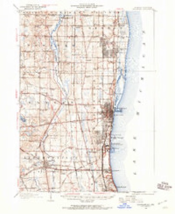
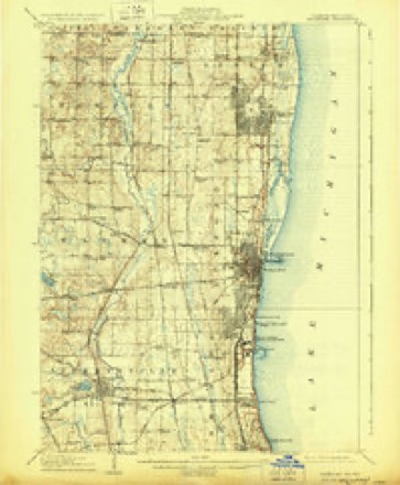
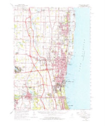
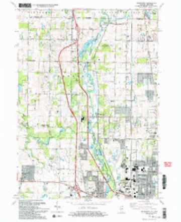
17 topographic sheets cover this place, the earliest surveyed in 1906 and the latest in 1993. It stands in Newport Township. It lies in ZIP code area 60099. The Survey maps it on the Wadsworth quadrangle. It stands 696 feet above sea level.
Topographic sheets covering this place
8 surveys from 17 printed sheetsMatched by testing this settlement's coordinate against the published boundary of every sheet in the United States Geological Survey's historical collection. Each opens the scanned sheet at the Survey.
- 1906 USGS Waukegan quadrangle1:62500
- 1908 USGS Waukegan quadrangle1:62500, 5 printings
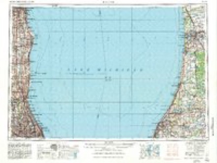
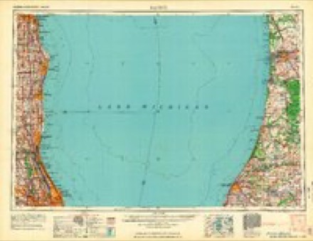
- 1958 USGS Racine quadrangle1:250000, 3 printings
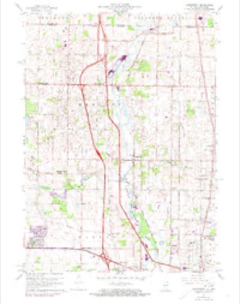
- 1960 USGS Wadsworth quadrangle1:24000, 3 printings
- 1960 USGS Waukegan quadrangle1:62500
- 1962 USGS Racine quadrangle1:250000
- 1980 USGS Waukegan quadrangle1:100000
- 1993 USGS Wadsworth quadrangle1:24000, 2 printings

In the county-history sources
1,057 words on this townshipThe Past and Present of Lake County, Illinois, published 1877 names this settlement in its chapter on Newport Township. These are the passages that mention it, exactly as the scans read.
The town of Newport has two stations on the Chicago, Milwaukee & St. Paul R. R., Russell and Wadsworth. The former is situated a short distance south of the State line. The Newport post office was removed to this place in 1876, and the name changed to Russell.
Passage source: The Past and Present of Lake County, Illinois, published 1877.
Machine-read from a century-old scan, so expect the errors a machine makes: misspelled names, dropped words, stray characters.
Fires near this place
8 since 2012Regional context, not property-specific evidence. The federal wildfire occurrence database lists 8 fires within 5 miles of Russell between 2012 and 2019, burning about 22 acres in total. None started naturally. None was recorded as arson. Distance is straight-line from the map coordinates, so a fire counted here may appear on a neighbouring settlement's page as well.
| Reported cause | Fires |
|---|---|
| Missing data/not specified/undetermined | 5 |
| Debris and open burning | 2 |
| Smoking | 1 |
The most recent of them, most recent first, with the day each was reported and the service that recorded it.
| Date | Cause | Size | Reported by | Name on the report |
|---|---|---|---|---|
| 10 July 2018 | Missing data/not specified/undetermined | 1.0 acres | Wisconsin Department of Natural Resources | 1383 |
| 8 May 2018 | Smoking | under an acre | Wisconsin Department of Natural Resources | 923 |
| 1 May 2018 | Missing data/not specified/undetermined | under an acre | Wisconsin Department of Natural Resources | 865 |
| 8 April 2019 | Missing data/not specified/undetermined | 3.0 acres | Illinois Division of Forestry Resources | 390 |
| 25 April 2018 | Missing data/not specified/undetermined | 8.0 acres | Illinois Division of Forestry Resources | 18-0416 |
| 11 April 2018 | Debris and open burning | 4.0 acres | Illinois Division of Forestry Resources | 18-0361 |
| 4 March 2018 | Missing data/not specified/undetermined | under an acre | Wisconsin Department of Natural Resources | 462 |
| 17 March 2012 | Debris and open burning | 5.4 acres | Illinois Division of Forestry Resources | 12-198 |
Settlements close enough to share some of these fires:
Mines and quarries near this place
2 within 5 milesRegional context, not property-specific evidence. The federal mineral resources record lists 2 workings within 5 miles of Russell: 1 past producer, 1 producer. 1 still produces. What was taken out: Stone, Sand and Gravel, Construction. Distance is straight-line from the map coordinates, so a quarry counted here may appear on a neighbouring settlement's page as well.
| Where | Site | Commodity | Status | Recorded |
|---|---|---|---|---|
| Ponderosa Pit | Sand and Gravel, Construction | Producer | ||
| Zion City Pit | Stone | Past Producer |
Storms near this place
6 since 2007Regional context, not property-specific evidence. The National Weather Service names Russell in 6 storm reports between 2007 and 2020: 3 flood, 2 hail, 1 flash flood. No death or injury is recorded in these reports. Each account below is quoted exactly as the forecast office filed it, from the NOAA Storm Events Database, and each date opens the federal record of that event.
| When | Event | Place named | Harm | What the report says |
|---|---|---|---|---|
| August 2007 | Flood | Russell | $100,000 | Heavy rainfall over the upper part of the Des Plaines watershed in Wisconsin combined with well above normal precipitation over portions of Lake County Illinois brought the parts of Des Plaines River into flood by August 20th. Additional rains on August 23rd resulted in crests during the following 3 days from points at Russell and Gurnee. Water inundated some homes along the river near Russell between the river and Kilbourne Road. Downstream at Gurnee, volunteers sandbagged around the Gurnee Grade School to prevent floodwaters from damaging the structure. Flood waters inundated large areas of forest preserve along the river. Elsewhere in Gurnee flooding closed portions of Old Grand Avenue as well as Emerald Avenue and Kilbourne Road. Sandbags were placed in front of several businesses along Old Grand Avenue. In North Libertyville Estates, a floodwall designed to hold flood waters from the Des Plaines River at bay, appeared to work as the area remained dry. In Libertyville, the Libertyville Golf Course at Riverside Park was flooded. The river crested at 10.55 feet at Russell on the 24th and at 9.82 feet on the evening of the 25th. High flows from near record flooding on the Fox River in Wisconsin were also moving downstream. These high flows, combined with excessive runoff over northern Illinois resulted in widespread flooding along the Fox River in the Chain of Lakes area. Homes in Antioch were surrounded by flood waters and many roads were closed. Most piers were under water and sandbagging efforts were ongoing. |
| May 2020 | Flash Flood | Russell | - | Multiple intersections were flooded and closed around Zion including on Route 173 and on Wadsworth Road. |
| September 2019 | Flood | Russell | - | Major flooding occurred along portions of the Des Plaines River. The river crested at 10.48 feet near Russell on September 15th. Flood stage near Russell is 6.5 feet and major stage is 10 feet. |
| July 2017 | Flood | Russell | - | Heavy rain fell across Lake County and southeast Wisconsin between July 11th and July 13th which lead to record flooding along the Des Plaines River. The river gage at Russell measured a record crest of 12.15 feet on July 14th. Flood stage at Russell is 7 feet. The river gage at Gurnee measured a record crest of 12.09 feet on July 16th. Flood stage at Gurnee is 7 feet. The river gage at Lincolnshire measured a record crest of 16.53 feet on July 13th. Flood stage at Lincolnshire is 12.5 feet. River levels held nearly steady around major flood stage for several days and then began a steady fall about a week after the heavy rains. |
| June 2015 | Hail | Russell | - | no account filed |
| June 2015 | Hail | Russell | - | no account filed |
Nearest settlements
The eight closest, with where each one stands in the county. Distances are straight-line, computed from the Geographic Names Information System coordinates.
| Map | Place | Distance | Sheets |
|---|---|---|---|
| Fossland | 2.1 miles | 17 | |
| Eddy | 2.1 miles | 17 | |
| Rosecrans | 2.7 miles | 17 | |
| Kelley Corners | 3.1 miles | 17 | |
| Schaufel Corners | 3.2 miles | 17 | |
| Slocum Corners | 3.6 miles | 17 | |
| Winthrop Harbor Station | 3.7 miles | 16 | |
| Crawford Corners | 4.2 miles | 17 |
Elsewhere
Matched on this settlement's Geographic Names Information System number rather than its name, so it cannot be a different place of the same name in another state.
| Wikipedia article on Russell | An encyclopaedic summary. Its text is share-alike, so it is linked here rather than copied. |
| Wikidata item Q7381296 | The structured record the population and elevation above come from. Public domain (CC0). |
Provenance
This settlement is recorded in the Geographic Names Information System as feature 417059. The sheet list is computed by point-in-boundary test against the United States Geological Survey's historical topographic inventory. Both are works of the United States government and carry no copyright under 17 U.S.C. 105.
Wildfire. Short, Karen C. 2022. Spatial wildfire occurrence data for the United States, 1992-2020 [FPA_FOD_20221014]. 6th Edition. Fort Collins, CO: Forest Service Research Data Archive. https://doi.org/10.2737/RDS-2013-0009.6 Collected with United States Government funding and usable without additional permissions or fees.
Mines and quarries. USGS Mineral Resources Data System (MRDS) https://mrdata.usgs.gov/mrds/ A work of the United States government, no copyright under 17 U.S.C. 105.
Storms. NOAA National Centers for Environmental Information, Storm Events Database https://www.ncei.noaa.gov/stormevents/ A work of the United States government, no copyright under 17 U.S.C. 105. Narratives are quoted verbatim from the National Weather Service report and are not edited or summarised.