 Block
Sandersville, Illinois
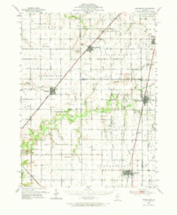
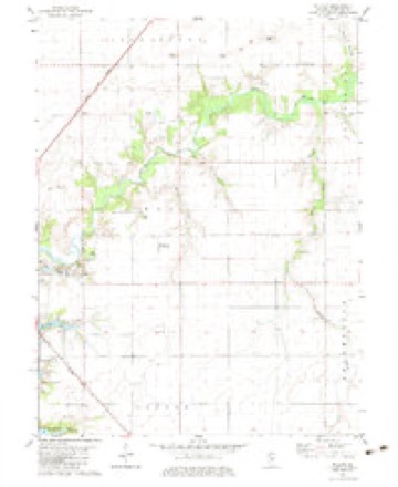
10 topographic sheets cover this place, the earliest surveyed in 1952 and the latest in 1985. It stands in Stonington Township. It lies in ZIP code area 62567. It stands on Brushy Branch. The Survey maps it on the Willeys quadrangle.
Topographic sheets covering this place
5 surveys from 10 printed sheetsMatched by testing this settlement's coordinate against the published boundary of every sheet in the United States Geological Survey's historical collection. Each opens the scanned sheet at the Survey.
- 1952 USGS Assumption quadrangle1:62500, 2 printings
- 1958 USGS Decatur quadrangle1:250000, 3 printings
- 1961 USGS Decatur quadrangle1:250000, 2 printings
- 1974 USGS Willeys quadrangle1:24000
- 1985 USGS Springfield quadrangle1:100000, 2 printings



In the county-history sources
5,541 words on this townshipHistory of Christian County, Illinois, published 1880 names this settlement in its chapter on Stonington Township. These are the passages that mention it, exactly as the scans read.
The first steam saw and grist mill was erected a short distance above "Sandersville, " in 1842, by Leonard G. Lillie, who operated it sucessfully for several years. Next to the one at Mt. Auburn it was the second steam mill built in the county. After a few years, Mr. Lillie emigrated to California, and the mill was sold aud moved away.
Passage source: History of Christian County, Illinois, published 1880.
Is a small town and station on the Wabash, St. Louis and Pacific railway, about nine miles north-east of Taylorville, in the heart of a farm and stock-growing country. At first it was called Covington, in honor of one of its proprietors. But the removal of the old Stonington post-ofiice from Sandersville, carried the name with it ; and from the expressed wishes of many of the older inhabitants, the name Stonington was substituted for that of Covington, by which name it has since been known.
Passage source: History of Christian County, Illinois, published 1880.
was an old trading point iu the south-east corner of this township, on the old county road from Taylorville to Moweaqua. Goods were sold there for nearly a quarter of a century, by Nicholas Sanders, John Catherwood, Charles F. Moody and others. It had a Post-office, and near by was the <)V\ Baptist church and the district school-house.
Passage source: History of Christian County, Illinois, published 1880.
Machine-read from a century-old scan, so expect the errors a machine makes: misspelled names, dropped words, stray characters.
Nearest settlements
The eight closest, with where each one stands in the county. Distances are straight-line, computed from the Geographic Names Information System coordinates.
| Map | Place | Distance | Sheets |
|---|---|---|---|
| Old Stonington | 0.6 miles | 10 | |
| Stonington | 2.6 miles | 11 | |
| Midway | 4.0 miles | 11 | |
| Willeys | 4.0 miles | 10 | |
| Hewittville | 6.0 miles | 10 | |
| Radford | 7.0 miles | 11 | |
| Velma | 7.7 miles | 10 | |
| Taylorville | 8.4 miles | 12 |
Provenance
This settlement is recorded in the Geographic Names Information System as feature 1811259. The sheet list is computed by point-in-boundary test against the United States Geological Survey's historical topographic inventory. Both are works of the United States government and carry no copyright under 17 U.S.C. 105.