 Block
Sebastopol, Illinois
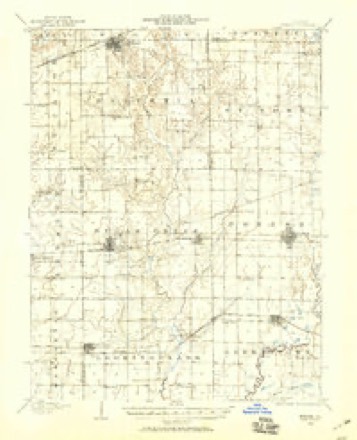
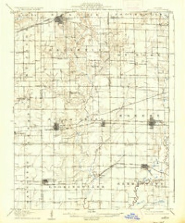
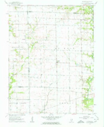
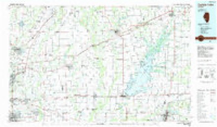
11 topographic sheets cover this place, the earliest surveyed in 1906 and the latest in 1985. It stands in Helvetia Township. It lies in ZIP code area 62249. The Survey maps it on the Saint Rose quadrangle.
Topographic sheets covering this place
6 surveys from 11 printed sheetsMatched by testing this settlement's coordinate against the published boundary of every sheet in the United States Geological Survey's historical collection. Each opens the scanned sheet at the Survey.
- 1906 USGS Breese quadrangle1:62500
- 1907 USGS Breese quadrangle1:62500, 2 printings
- 1958 USGS Belleville quadrangle1:250000, 3 printings
- 1962 USGS Belleville quadrangle1:250000
- 1962 USGS St. Rose quadrangle1:24000, 2 printings
- 1985 USGS Carlyle Lake quadrangle1:100000, 2 printings


In the county-history sources
85 words on this townshipCentennial History of Madison County, Illinois, and Its People, 1812 to 1912, published 1912 has no passage naming this settlement, which was common for smaller places. Its township is covered in full.
The chapter on Helvetia Township covers the pioneers, animals, birds and indians, settlements in western sections, seb¬ astopol, st. morgan, prominent farmers. 525.
Read the chapter on Helvetia Township - 85 words.
Mines and quarries near this place
5 within 5 milesRegional context, not property-specific evidence. The federal mineral resources record lists 5 workings within 5 miles of Sebastopol: 3 occurrences, 2 past producers. None of them still produces. What was taken out: Stone, Crushed/Broken, Sand and Gravel, Construction. Distance is straight-line from the map coordinates, so a quarry counted here may appear on a neighbouring settlement's page as well.
| Where | Site | Commodity | Status | Recorded |
|---|---|---|---|---|
| Highland Pit | Sand and Gravel, Construction | Past Producer | ||
| Arthur Quarry | Stone, Crushed/Broken | Past Producer | ||
| Limestone Prospect | Stone, Crushed/Broken | Occurrence | ||
| Limestone Prospect | Stone, Crushed/Broken | Occurrence | ||
| Limestone Prospect | Stone, Crushed/Broken | Occurrence |
Storms near this place
4 since 2013Regional context, not property-specific evidence. The National Weather Service names Sebastopol in 4 storm reports between 2013 and 2025: 3 flash flood, 1 thunderstorm wind. No death or injury is recorded in these reports. Each account below is quoted exactly as the forecast office filed it, from the NOAA Storm Events Database, and each date opens the federal record of that event.
| When | Event | Place named | Harm | What the report says |
|---|---|---|---|---|
| May 2025 | Thunderstorm Wind | Sebastopol | - | Thunderstorm winds snapped large tree branches near Highland. |
| December 2015 | Flash Flood | Sebastopol | - | Between 2 and 5 inches of rain fell causing flash flooding. Numerous roads were flooded including Marine Road near the town of Marine. A car was swept off the road in this location. The motorist was rescued but did not sustain any injuries. |
| December 2015 | Flash Flood | Sebastopol | - | Another round of heavy rain, between 3 and 5 inches, fell across Madison County from late on December 27th through December 28th, causing more flash flooding. Numerous roads were flooded. Roads closed include Illinois Route 143 between Hwy 255 and Illinois Route 111, Illinois Route 143 at Silver Creek, US Highway 40 between Triad and Schaeffer Roads, and Illinois Route 159 just north of intersection with Illinois Route 143. |
| June 2013 | Flash Flood | Sebastopol | - | Up to five inches of rain fell in a short amount of time causing flash flooding. Numerous roads were flooded in Edwardsville. Also, there was at least a foot of water over Illinois Route 143 near intersection with Interstate 70. Several roads in Collinsville were flooded with a couple of vehicles driven into the flood waters. A couple of people had to be rescued from their stranded cars. No injuries were reported. |
Nearest settlements
The eight closest, with where each one stands in the county. Distances are straight-line, computed from the Geographic Names Information System coordinates.
| Map | Place | Distance | Sheets |
|---|---|---|---|
| Highland | 4.2 miles | 12 | |
| Saint Morgan | 5.7 miles | 12 | |
| Saint Jacob | 8.9 miles | 16 | |
| Grantfork | 8.9 miles | 11 | |
| Marine | 10.7 miles | 14 | |
| Kaufman | 14.0 miles | 14 | |
| Alhambra | 14.1 miles | 11 | |
| Green Castle | 14.4 miles | 11 |
Provenance
This settlement is recorded in the Geographic Names Information System as feature 423170. The sheet list is computed by point-in-boundary test against the United States Geological Survey's historical topographic inventory. Both are works of the United States government and carry no copyright under 17 U.S.C. 105.
Mines and quarries. USGS Mineral Resources Data System (MRDS) https://mrdata.usgs.gov/mrds/ A work of the United States government, no copyright under 17 U.S.C. 105.
Storms. NOAA National Centers for Environmental Information, Storm Events Database https://www.ncei.noaa.gov/stormevents/ A work of the United States government, no copyright under 17 U.S.C. 105. Narratives are quoted verbatim from the National Weather Service report and are not edited or summarised.