 Block
Secor, Illinois
14 topographic sheets cover this place, the earliest surveyed in 1927 and the latest in 1990. It stands in Palestine Township. It lies in ZIP code area 61771. It stands on Olive Branch. The Survey maps it on the Secor quadrangle. 342 people lived here at the 2020 count. It stands 733 feet above sea level.
Population over time
2 figuresSecor fell from 373 to 342 between 2010 and 2020. These are the recorded population figures Wikidata holds for this place, reached through the Geographic Names Information System number this page is keyed on rather than by name, so they belong to this place and not to another of the same name. Most are census counts, but not all are: an early figure may be a founding or settlement estimate, and an estimate published within five years of a census is left out. The change column is computed, and is left blank where more than 20 years separate a figure from the one before it, because a gap that long is not a change between two counts.
| Year | People | Change |
|---|---|---|
| 2010 | 373 | |
| 2020 | 342 | -31 (-8%) |
Topographic sheets covering this place
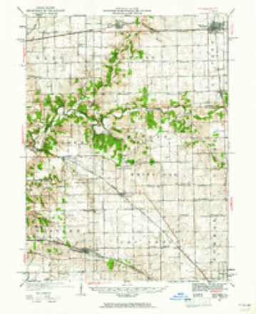
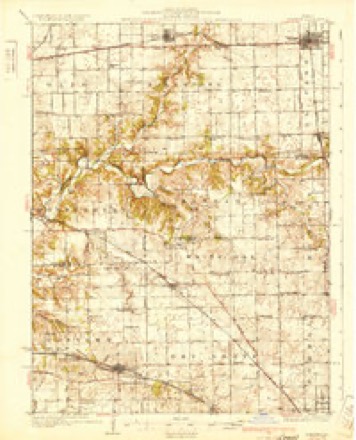
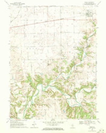
9 surveys from 14 printed sheetsMatched by testing this settlement's coordinate against the published boundary of every sheet in the United States Geological Survey's historical collection. Each opens the scanned sheet at the Survey.
- 1927 USGS Danvers quadrangle1:62500
- 1930 USGS Danvers quadrangle1:62500, 2 printings
- 1958 USGS Peoria quadrangle1:250000, 4 printings
- 1961 USGS Peoria quadrangle1:250000
- 1963 USGS Peoria quadrangle1:250000
- 1970 USGS Secor quadrangle1:24000, 2 printings
- 1985 USGS Peoria quadrangle1:100000
- 1989 USGS Peoria quadrangle1:100000
- 1990 USGS Peoria quadrangle1:250000






In the county-history sources
5,058 words on this townshipThe Past and Present of Woodford County, Illinois, published 1878 names this settlement in its chapter on Palestine Township. These are the passages that mention it, exactly as the scans read.
SHEPHERD, B. P., farmer; P. 0. Secor; Republican; U.B. Church; lives on the old homestead with his mother, and carries on the farm ; was born in this place June 19, 1853, and married Alice A. Manning Nov. 9, 1875, in McLean County ; she was born in Gridley, Mc- Lean County, Jan. 20, 1859 ; they have one child - Lahan Henry.
Passage source: The Past and Present of Woodford County, Illinois, published 1878.
William, John. Francis, Joseph, Judson and David. Mr. W. has been blessed in worldly matters as well as with a large and interesting family, ten sons of which any parents might feel proud. He has a home and farm, the equal of which few can boast ; he has made it all since coming to this county, by hard work and industry. He is a man of strict honesty, and has the good will of all his neighbors. "An honest man is the noblest work of God." E. C, farmer; P. 0. Secor.
Passage source: The Past and Present of Woodford County, Illinois, published 1878.
farmer ; P. O. Secor ; Independent and Christian ; has 540 acres of land on Sees. 7 and 8. valued at S50 per acre ; he was born in this townshij) Oct. 23,. 1837 ; he married Martha J. McKee Dec. 17, 1857, in this county: she was born in this township June 3. 1840. They have five children - Francis M., Ida M., Edwin J., Charles A. and Louis R. Mr. R. is one of the old settlers, having been born here, and has grown up with the county and its improvements. He has a very large and desirable farm, is a thorough farmer, and knows how to make farming a success ; he has held the office of Justice of the Peace and Town Treasurer fur many years, and is one of the very reliable citizens of the community. He has a very intelligent fiimily of children, growing up to habits of industry. His father, Jas. Richardson, was one of the few who came here in 1831. PARKS, R. D., farmer; P.O. Kappa.
Passage source: The Past and Present of Woodford County, Illinois, published 1878.
Machine-read from a century-old scan, so expect the errors a machine makes: misspelled names, dropped words, stray characters.
Read the whole chapter on Palestine Township - it names this place 3 more 3 times.
Fires near this place
12 since 2010Regional context, not property-specific evidence. The federal wildfire occurrence database lists 12 fires within 5 miles of Secor between 2010 and 2019, burning about 74 acres in total. None started naturally. None was recorded as arson. Distance is straight-line from the map coordinates, so a fire counted here may appear on a neighbouring settlement's page as well.
| Reported cause | Fires |
|---|---|
| Missing data/not specified/undetermined | 5 |
| Debris and open burning | 5 |
| Equipment and vehicle use | 2 |
The most recent of them, most recent first, with the day each was reported and the service that recorded it.
| Date | Cause | Size | Reported by | Name on the report |
|---|---|---|---|---|
| 5 September 2010 | Debris and open burning | under an acre | Illinois Division of Forestry Resources | 90549 |
| 29 September 2012 | Equipment and vehicle use | 40 acres | Illinois Division of Forestry Resources | BALLY |
| 13 September 2010 | Missing data/not specified/undetermined | under an acre | Illinois Division of Forestry Resources | 91348 |
| 24 June 2012 | Debris and open burning | under an acre | Illinois Division of Forestry Resources | KLIEN |
| 20 May 2016 | Debris and open burning | under an acre | Illinois Division of Forestry Resources | FARM |
| 9 April 2012 | Missing data/not specified/undetermined | under an acre | Illinois Division of Forestry Resources | JOE |
| 5 April 2010 | Equipment and vehicle use | 1.0 acres | Illinois Division of Forestry Resources | 51021 |
| 19 April 2010 | Missing data/not specified/undetermined | 1.0 acres | Illinois Division of Forestry Resources | 191024 |
Settlements close enough to share some of these fires:
Mines and quarries near this place
2 within 5 milesRegional context, not property-specific evidence. The federal mineral resources record lists 2 workings within 5 miles of Secor: 2 past producers. None of them still produces. What was taken out: Sand and Gravel, Construction, Stone, Crushed/Broken. Distance is straight-line from the map coordinates, so a quarry counted here may appear on a neighbouring settlement's page as well.
| Where | Site | Commodity | Status | Recorded |
|---|---|---|---|---|
| Lakeview Realty Pit | Sand and Gravel, Construction | Past Producer | ||
| Unnamed Limestone Quarry | Stone, Crushed/Broken | Past Producer |
Storms near this place
18 since 2000Regional context, not property-specific evidence. The National Weather Service names Secor in 18 storm reports between 2000 and 2023: 10 hail, 6 thunderstorm wind, 1 lightning, 1 flash flood. No death or injury is recorded in these reports. Each account below is quoted exactly as the forecast office filed it, from the NOAA Storm Events Database, and each date opens the federal record of that event.
| When | Event | Place named | Harm | What the report says |
|---|---|---|---|---|
| July 2020 | Thunderstorm Wind | Secor | $80,000 | Numerous trees were blown down, including one that landed on a camper vehicle at Hickory Hills Campground. |
| June 2008 | Thunderstorm Wind | Secor | $40,000 | Numerous trees and tree limbs were blown down. In addition, a house near El Paso had part of its roof blown off. |
| May 2017 | Thunderstorm Wind | Secor | $27,000 | Several trees were blown down, including one that fell onto power lines. |
| June 2011 | Lightning | Secor | $1,000 | Lightning struck a house, knocking a hole in the roof and taking out electrical service. |
| May 2023 | Thunderstorm Wind | Secor | - | The roof of a barn was damaged and a motorhome was flipped on its side. |
| August 2019 | Thunderstorm Wind | Secor | - | Numerous 3-inch diameter tree branches were blown down and corn was flattened near the intersection of 2300 East and 800 North. |
| May 2014 | Flash Flood | Secor | - | Very heavy rainfall of 2.50 to 3.00 inches between 1800 and 1900 CST resulted in rapid flash flooding in a small part of southeast Woodford County. Illinois Route 251 and County Road 9 west of Kappa were inundated with water 12 to 18 inches deep. Roads were closed for nearly three hours. The water receded quickly and the flooding ended by late evening. |
| September 2000 | Thunderstorm Wind | Secor | - | Several large trees were blown down at a campground one mile east of Secor. |
| July 2020 | Hail | Secor | - | no account filed |
| July 2020 | Hail | Secor | - | no account filed |
| July 2020 | Hail | Secor | - | no account filed |
| May 2019 | Hail | Secor | - | no account filed |
| March 2016 | Hail | Secor | - | no account filed |
| May 2016 | Hail | Secor | - | no account filed |
| May 2011 | Hail | Secor | - | no account filed |
| May 2011 | Hail | Secor | - | no account filed |
| March 2005 | Hail | Secor | - | no account filed |
| April 2003 | Hail | Secor | - | no account filed |
Nearest settlements
The eight closest, with where each one stands in the county. Distances are straight-line, computed from the Geographic Names Information System coordinates.
Elsewhere
Matched on this settlement's Geographic Names Information System number rather than its name, so it cannot be a different place of the same name in another state.
| Wikipedia article on Secor | An encyclopaedic summary. Its text is share-alike, so it is linked here rather than copied. |
| Wikidata item Q2255142 | The structured record the population and elevation above come from. Public domain (CC0). |
Provenance
This settlement is recorded in the Geographic Names Information System as feature 418176. The sheet list is computed by point-in-boundary test against the United States Geological Survey's historical topographic inventory. Both are works of the United States government and carry no copyright under 17 U.S.C. 105.
Wildfire. Short, Karen C. 2022. Spatial wildfire occurrence data for the United States, 1992-2020 [FPA_FOD_20221014]. 6th Edition. Fort Collins, CO: Forest Service Research Data Archive. https://doi.org/10.2737/RDS-2013-0009.6 Collected with United States Government funding and usable without additional permissions or fees.
Mines and quarries. USGS Mineral Resources Data System (MRDS) https://mrdata.usgs.gov/mrds/ A work of the United States government, no copyright under 17 U.S.C. 105.
Storms. NOAA National Centers for Environmental Information, Storm Events Database https://www.ncei.noaa.gov/stormevents/ A work of the United States government, no copyright under 17 U.S.C. 105. Narratives are quoted verbatim from the National Weather Service report and are not edited or summarised.