 Block
Shorewood, Illinois
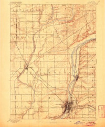
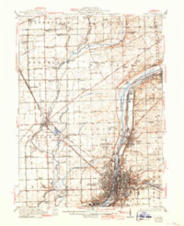
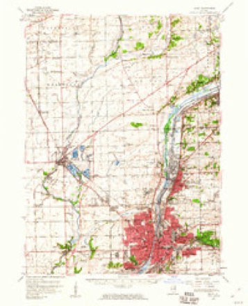
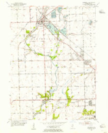
23 topographic sheets cover this place, the earliest surveyed in 1892 and the latest in 1998. It stands in Troy Township. It lies in ZIP code area 60404. The Survey maps it on the Plainfield quadrangle. 18,186 people lived here at the 2020 count. It stands 620 feet above sea level.
Population over time
2 figuresShorewood grew from 15,615 to 18,186 between 2010 and 2020. These are the recorded population figures Wikidata holds for this place, reached through the Geographic Names Information System number this page is keyed on rather than by name, so they belong to this place and not to another of the same name. Most are census counts, but not all are: an early figure may be a founding or settlement estimate, and an estimate published within five years of a census is left out. The change column is computed, and is left blank where more than 20 years separate a figure from the one before it, because a gap that long is not a change between two counts.
| Year | People | Change |
|---|---|---|
| 2010 | 15,615 | |
| 2020 | 18,186 | +2,571 (+16%) |
Topographic sheets covering this place
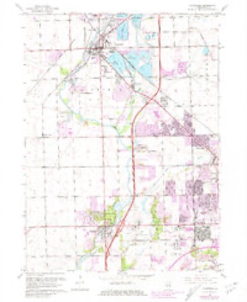
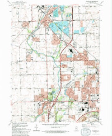
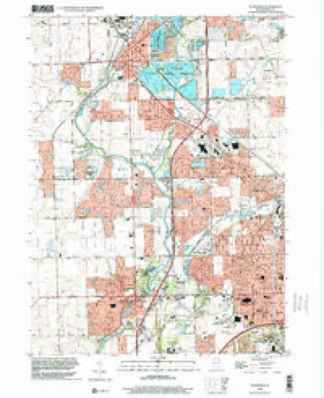
10 surveys from 23 printed sheetsMatched by testing this settlement's coordinate against the published boundary of every sheet in the United States Geological Survey's historical collection. Each opens the scanned sheet at the Survey.
- 1892 USGS Joliet quadrangle1:62500, 6 printings
- 1923 USGS Joliet quadrangle1:62500, 5 printings
- 1954 USGS Joliet quadrangle1:62500
- 1954 USGS Plainfield quadrangle1:24000
- 1958 USGS Aurora quadrangle1:250000, 3 printings
- 1961 USGS Aurora quadrangle1:250000
- 1962 USGS Plainfield quadrangle1:24000, 3 printings
- 1985 USGS Aurora quadrangle1:100000
- 1993 USGS Plainfield quadrangle1:24000
- 1998 USGS Plainfield quadrangle1:24000



Fires near this place
4 since 2018Regional context, not property-specific evidence. The federal wildfire occurrence database lists 4 fires within 5 miles of Shorewood between 2018 and 2019, burning about 31 acres in total. None started naturally. None was recorded as arson. Distance is straight-line from the map coordinates, so a fire counted here may appear on a neighbouring settlement's page as well.
| Reported cause | Fires |
|---|---|
| Missing data/not specified/undetermined | 3 |
| Railroad operations and maintenance | 1 |
The most recent of them, most recent first, with the day each was reported and the service that recorded it.
| Date | Cause | Size | Reported by | Name on the report |
|---|---|---|---|---|
| 1 June 2019 | Missing data/not specified/undetermined | 5.0 acres | Illinois Division of Forestry Resources | 19-0976 |
| 8 April 2019 | Missing data/not specified/undetermined | under an acre | Illinois Division of Forestry Resources | 19-0639 |
| 3 April 2019 | Missing data/not specified/undetermined | under an acre | Illinois Division of Forestry Resources | 19-0604 |
| 20 March 2018 | Railroad operations and maintenance | 25 acres | Midewin National Tall Grass Prairie | DRUMMOND |
Settlements close enough to share some of these fires:
Mines and quarries near this place
9 within 5 milesRegional context, not property-specific evidence. The federal mineral resources record lists 9 workings within 5 miles of Shorewood: 4 occurrences, 2 past producers, 2 producers, 1 plant. 3 still produce. What was taken out: Stone, Crushed/Broken, Phosphorus-Phosphates, Magnesite. Distance is straight-line from the map coordinates, so a quarry counted here may appear on a neighbouring settlement's page as well.
| Where | Site | Commodity | Status | Recorded |
|---|---|---|---|---|
| U S Refactories Div. Mill | Magnesite | Producer | ||
| Joliet Phos-Acid Plant | Phosphorus-Phosphates | Plant | ||
| Joliet Phosphoric Acid Plant | Phosphorus-Phosphates | Past Producer | ||
| Limestone Prospect | Stone, Crushed/Broken | Occurrence | ||
| Limestone Prospect | Stone, Crushed/Broken | Occurrence | ||
| Limestone Prospect | Stone, Crushed/Broken | Occurrence | ||
| Limestone Prospect | Stone, Crushed/Broken | Occurrence | ||
| Rockdale Quarry | Stone, Crushed/Broken | Producer | ||
| Unnamed Limestone Quarry | Stone, Crushed/Broken | Past Producer |
Storms near this place
30 since 1996Regional context, not property-specific evidence. The National Weather Service names Shorewood in 30 storm reports between 1996 and 2025: 14 hail, 11 thunderstorm wind, 3 tornado, 1 funnel cloud. No death or injury is recorded in these reports. Each account below is quoted exactly as the forecast office filed it, from the NOAA Storm Events Database, and each date opens the federal record of that event.
| When | Event | Place named | Harm | What the report says |
|---|---|---|---|---|
| September 2025 | Thunderstorm Wind | Shorewood | - | A tree limb roughly 6 inches in diameter was blown down near River Road and Interstate 55. |
| May 2024 | Hail | Shorewood | - | Quarter size hail was reported along Caton Farm Road near and west of Route 59. |
| July 2024 | Thunderstorm Wind | Shorewood | - | Numerous trees were uprooted along Ravinia Drive and a long section of fence was blown down along Geneva Street. A small warehouse south of Geneva Street suffered structural damage. |
| July 2024 | Thunderstorm Wind | Shorewood | - | Tree and power line damage occurred near Route 59 and Shorewood Lane. |
| July 2024 | Tornado (EF0) | Shorewood | - | A tornado with estimated peak winds of 80 mph touched down in Kendall County and crossed into Will County between Caton Farm Road and Desert Drive. The tornado produced sporadic tree damage north of Caton Farm Road, then crossed Route 59 and produced quite a bit of tree damage on Arbor Creek Drive. The tornado crossed Interstate 55 and moved over the Louis Joliet Mall. Roof and fascia damage occurred to a church just east of the mall at the corner of Route 30 and Hennepin Drive. The tornado jogged northeast and crossed the intersection of Weber Road and Division Street, where it produced minor roof and fascia damage to homes along with continued sporadic tree damage. The tornado continued producing sporadic tree damage as it moved east crossing Route 53 and then the Des Plaines River. The tornado moved across Lockport where tree limbs and fences were blown down. Tree damage continued as the tornado crossed Interstate 355. Numerous trees were snapped and fences were blown down east through Cedar Road where the tornado ended. |
| March 2023 | Hail | Shorewood | - | Time estimated by radar. |
| February 2023 | Tornado (EF0) | Shorewood | - | A tornado with peak winds of 85 mph touched down in eastern Kendall County and crossed County Line Road, just north of Townsend Blvd, into western Will County. The tornado produced tree and fence damage along its path. A few softwood trees were uprooted. Security camera video near County Line Road showed a 10 to 15 second period of strong winds with debris being lofted to the north. Minor roof damage occurred to several homes consisting mainly of shingles being removed. The tornado lifted near Art Schultz Road. |
| April 2023 | Hail | Shorewood | - | Half dollar size hail was reported near Caton Farm Road and County Line Road. |
| March 2023 | Tornado (EF0) | Shorewood | - | After dropping in far eastern Kendall County just about a minute sooner and doing damage to shingles and collapsing a chimney, this tornado crossed into Will County near Hadrian Dr in far west Joliet. It continued to do damage to shingles and trees before lifting a couple of minutes later near the intersection of Bedford Dr and Brighton Ln. |
| July 2023 | Thunderstorm Wind | Shorewood | - | Multiple reports were received of tree damage in Shorewood. Time was estimated using radar. |
| June 2021 | Flood | Shorewood | - | Black Road was closed between Interstate 55 and Essington Road due to flooding. A photo was shared on social media showing high standing water on Drauden Road. A retired NWS meteorologist measured 2.80 inches of rain near Jaguar Court and a nearby CoCoRaHS observer measured 2.20 inches of rain. |
| May 2020 | Thunderstorm Wind | Shorewood | - | At least two dozen large trees were blown down, including some snapped in a residential area in Shorewood near Seil Road. This included large trees blown down along the DuPage River. The tree damage was concentrated and intense with all trees laying in an easterly direction, indicating a strong downburst. Power lines were also blown down. Wind gusts were estimated between 75 mph and 95 mph. |
| February 2017 | Hail | Shorewood | - | Quarter size hail was reported near Seil Road and Sarver Drive. |
| June 2016 | Hail | Shorewood | - | Winds of 40 mph also reported. |
| June 2016 | Thunderstorm Wind | Shorewood | - | Tree limbs of varying sizes and a few trees snapped, as well as a bent flag pole. |
| July 2006 | Funnel Cloud | Shorewood | - | A funnel cloud was reported near Route 52 and County Line Road. |
| October 2006 | Thunderstorm Wind | Shorewood | - | Trees were blown down at Interstate 55 and Route 52. |
| March 2005 | Hail | Shorewood | - | Nickel to half dollar sized hail was reported from Shorewood to 1 mile north of Shorewood, 1710-1715 CST. |
| March 2004 | Thunderstorm Wind | Shorewood | - | Wires down |
| April 2023 | Hail | Shorewood | - | no account filed |
| April 2023 | Hail | Shorewood | - | no account filed |
| July 2022 | Hail | Shorewood | - | no account filed |
| March 2019 | Hail | Shorewood | - | no account filed |
| March 2017 | Thunderstorm Wind | Shorewood | - | no account filed |
| February 2017 | Hail | Shorewood | - | no account filed |
| April 2015 | Hail | Shorewood | - | no account filed |
| June 2015 | Hail | Shorewood | - | no account filed |
| June 2014 | Thunderstorm Wind | Shorewood | - | no account filed |
| May 2000 | Hail | Shorewood | - | no account filed |
| July 1996 | Thunderstorm Wind | Shorewood | - | no account filed |
Nearest settlements
The eight closest, with where each one stands in the county. Distances are straight-line, computed from the Geographic Names Information System coordinates.
| Map | Place | Distance | Sheets |
|---|---|---|---|
| Shorewood Beach | 0.1 miles | 23 | |
| Shorewood Park | 0.4 miles | 23 | |
| Sunset Hills | 0.4 miles | 23 | |
| Hunt Club | 1.0 miles | 23 | |
| Vintage | 1.2 miles | 23 | |
| Deer Run Estates | 1.2 miles | 23 | |
| Wellington Heights | 1.4 miles | 23 | |
| River Oaks West | 1.6 miles | 23 |
Elsewhere
Matched on this settlement's Geographic Names Information System number rather than its name, so it cannot be a different place of the same name in another state.
| Wikipedia article on Shorewood | An encyclopaedic summary. Its text is share-alike, so it is linked here rather than copied. |
| Wikidata item Q2308441 | The structured record the population and elevation above come from. Public domain (CC0). |
Provenance
This settlement is recorded in the Geographic Names Information System as feature 418462. The sheet list is computed by point-in-boundary test against the United States Geological Survey's historical topographic inventory. Both are works of the United States government and carry no copyright under 17 U.S.C. 105.
Wildfire. Short, Karen C. 2022. Spatial wildfire occurrence data for the United States, 1992-2020 [FPA_FOD_20221014]. 6th Edition. Fort Collins, CO: Forest Service Research Data Archive. https://doi.org/10.2737/RDS-2013-0009.6 Collected with United States Government funding and usable without additional permissions or fees.
Mines and quarries. USGS Mineral Resources Data System (MRDS) https://mrdata.usgs.gov/mrds/ A work of the United States government, no copyright under 17 U.S.C. 105.
Storms. NOAA National Centers for Environmental Information, Storm Events Database https://www.ncei.noaa.gov/stormevents/ A work of the United States government, no copyright under 17 U.S.C. 105. Narratives are quoted verbatim from the National Weather Service report and are not edited or summarised.