 Block
South Ottawa, Illinois
27 topographic sheets cover this place, the earliest surveyed in 1892 and the latest in 1994. It stands in South Ottawa Township. It lies in ZIP code area 61350. It sits by Shadow Bluff. The Survey maps it on the Ottawa quadrangle. The federal gazetteer marks this settlement historical: it is no longer a populated place, though the surveys that recorded it still are.
On record in South Ottawa
Buildings and businesses the archive holds for this place. Each opens its own page, with the source record it came from.
On the National Register within a mile 1 record
The National Register names another town for these. They stand within one mile of this settlement's coordinate.
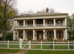 John Hossack Houselisted 1972 · 0.6 miles away
Topographic sheets covering this place
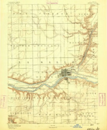
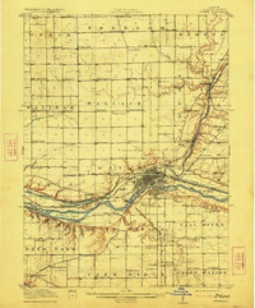
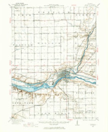
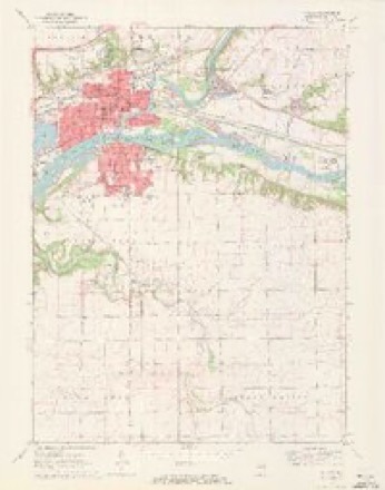
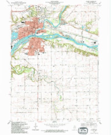
9 surveys from 27 printed sheetsMatched by testing this settlement's coordinate against the published boundary of every sheet in the United States Geological Survey's historical collection. Each opens the scanned sheet at the Survey.
- 1892 USGS Ottawa quadrangle1:62500, 9 printings
- 1915 USGS Ottawa quadrangle1:62500, 7 printings
- 1946 USGS Ottawa quadrangle1:62500, 2 printings
- 1958 USGS Aurora quadrangle1:250000, 3 printings
- 1961 USGS Aurora quadrangle1:250000
- 1970 USGS Ottawa quadrangle1:24000, 2 printings
- 1985 USGS Ottawa quadrangle1:100000
- 1991 USGS Ottawa quadrangle1:100000
- 1994 USGS Ottawa quadrangle1:24000


In the county-history sources
2,321 words on this townshipHistory of LaSalle County, Illinois : Its Topography, Geology, Botany, Natural History, History of the Mound Builders, Indian Tribes, French Explorations, and a Sketch of the Pioneer Settlers of Each Town to 1840, with an Appendix, Giving the Present Status of the County, Its Population, Resources, Manufactures and Institutions, published 1877 names this settlement in its chapter on South Ottawa Township. These are the passages that mention it, exactly as the scans read.
The town of South Ottawa embraces that part of T. 88, R. 3, which lies sonth of the Dlinois river, being about half the township. Except a narrow strip of bottom-land along the Illinois river, it is on the bluff, and the village which constitutes one ward of the city of Ottawa, looks down upon that part of the city which lies in the valley.
Their children were; David, married Mary Reynolds, lived in Fall River from 1844 to 1870, now lives in Macoupin County, has 11 children; Ursula, married Wm. Kessler, lived in South Ottawa; Richard, died one year ago; Enos, marvied Miss Chew; Calvin, married Mary Gorbit, lived at Tiskilwa; Jeremiah, married Rachel Sprague, second wife Rosa Densmore; Mary Ann, married Horace Spragne, and died soon after.
Reuben Ri from Monroe County, N. Y., in 1822 ; stopped in Kentucky two years, thenremored to Cincinnati, Ohio, where his wife died, leaving ix child He married a Miss Hibbard, and soon after with the Hibbard family, fifteen persons in all, moved to Tilinois in 1897, stayed in Chicago two months, then moved to Ottawa, and wintered in the cabin with Col. Sayers in South Ottawa. Leased the widow Pembroke's farm in 1828, and made « claim on 8. 17, 1 . R. 4, where Wm. Moore now lives. A Mr. Hib , brother of Mrs. Reed, came from St. Lonis, wh med to be the evil genins of the family. He caused the and his wife, and broke up the family. His son Darins was bound ont to James Galloway ; his son Ansel, to Moses Booth, and his daughter Emeline, then a mere child, to Lewis Bayley. Reuben Reed abandoned his claim and it was taken by a Mr. Town. Darius Reed, who served an apprenticeship with Jas, Galloway, when he arrived at man's estate made a farm on §. 31, T. 34, R. 5, on which he has resided for many years, a wealthy and respected citizen, now temporarily residing in Kansas.
Machine-read from a century-old scan, so expect the errors a machine makes: misspelled names, dropped words, stray characters.
Read the whole chapter on South Ottawa Township - it names this place 8 more 8 times.
Fires near this place
5 since 2008Regional context, not property-specific evidence. The federal wildfire occurrence database lists 5 fires within 5 miles of South Ottawa (historical) between 2008 and 2018, burning about 5 acres in total. None started naturally. 2 were recorded as arson. Distance is straight-line from the map coordinates, so a fire counted here may appear on a neighbouring settlement's page as well.
| Reported cause | Fires |
|---|---|
| Missing data/not specified/undetermined | 3 |
| Arson/incendiarism | 2 |
The most recent of them, most recent first, with the day each was reported and the service that recorded it.
| Date | Cause | Size | Reported by | Name on the report |
|---|---|---|---|---|
| 6 April 2008 | Arson/incendiarism | 1.0 acres | Illinois Division of Forestry Resources | BUFFALO |
| 29 March 2010 | Missing data/not specified/undetermined | 1.0 acres | Illinois Division of Forestry Resources | 1023 |
| 29 March 2010 | Missing data/not specified/undetermined | under an acre | Illinois Division of Forestry Resources | 1023 |
| 28 March 2008 | Arson/incendiarism | 2.0 acres | Illinois Division of Forestry Resources | GRASS |
| 19 March 2018 | Missing data/not specified/undetermined | under an acre | Illinois Division of Forestry Resources | 180318007 |
Settlements close enough to share some of these fires:
Mines and quarries near this place
8 within 5 milesRegional context, not property-specific evidence. The federal mineral resources record lists 8 workings within 5 miles of South Ottawa (historical): 6 past producers, 2 producers. 2 still produce. What was taken out: Clay, Sand and Gravel, Construction, Stone, Silica. Distance is straight-line from the map coordinates, so a quarry counted here may appear on a neighbouring settlement's page as well.
| Where | Site | Commodity | Status | Recorded |
|---|---|---|---|---|
| Lasalle County Highway Pit | Stone | Past Producer | ||
| Ottawa Industries Sand Pit | Silica | Producer | ||
| Dickens Pit | Sand and Gravel, Construction | Past Producer | ||
| Ottawa Pit No. 8 | Sand and Gravel, Construction | Producer | ||
| Ill.Valley Min.Co.Clay Shale Pit | Clay | Past Producer | ||
| Materialite Pit | Clay | Past Producer | ||
| Ottawa Shale Pit | Clay | Past Producer | ||
| Porter Co.Clay Pit | Clay | Past Producer |
Nearest settlements
The eight closest, with where each one stands in the county. Distances are straight-line, computed from the Geographic Names Information System coordinates.
| Map | Place | Distance | Sheets |
|---|---|---|---|
| Ottawa | 1.0 miles | 27 | |
| Hitt | 1.5 miles | 27 | |
| Stoneyville | 1.9 miles | 27 | |
| Naplate | 2.2 miles | 27 | |
| Woodland Addition | 2.3 miles | 27 | |
| Reed Crossing | 4.0 miles | 27 | |
| Dayton | 4.3 miles | 26 | |
| Grand Ridge | 6.5 miles | 11 |
Provenance
This settlement is recorded in the Geographic Names Information System as feature 425684. The sheet list is computed by point-in-boundary test against the United States Geological Survey's historical topographic inventory. Both are works of the United States government and carry no copyright under 17 U.S.C. 105.
Wildfire. Short, Karen C. 2022. Spatial wildfire occurrence data for the United States, 1992-2020 [FPA_FOD_20221014]. 6th Edition. Fort Collins, CO: Forest Service Research Data Archive. https://doi.org/10.2737/RDS-2013-0009.6 Collected with United States Government funding and usable without additional permissions or fees.
Mines and quarries. USGS Mineral Resources Data System (MRDS) https://mrdata.usgs.gov/mrds/ A work of the United States government, no copyright under 17 U.S.C. 105.