 Block
Dayton, Illinois
26 topographic sheets cover this place, the earliest surveyed in 1892 and the latest in 1991. It stands in Dayton Township. It lies in ZIP code area 61350. The Survey maps it on the Wedron quadrangle. 528 people lived here at the 2020 count. It stands 564 feet above sea level.
Population over time
2 figuresDayton fell from 537 to 528 between 2010 and 2020. These are the recorded population figures Wikidata holds for this place, reached through the Geographic Names Information System number this page is keyed on rather than by name, so they belong to this place and not to another of the same name. Most are census counts, but not all are: an early figure may be a founding or settlement estimate, and an estimate published within five years of a census is left out. The change column is computed, and is left blank where more than 20 years separate a figure from the one before it, because a gap that long is not a change between two counts.
| Year | People | Change |
|---|---|---|
| 2010 | 537 | |
| 2020 | 528 | -9 (-2%) |
Topographic sheets covering this place
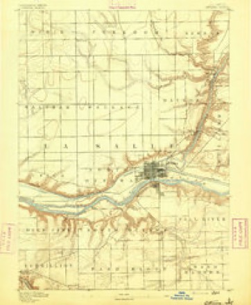
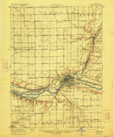
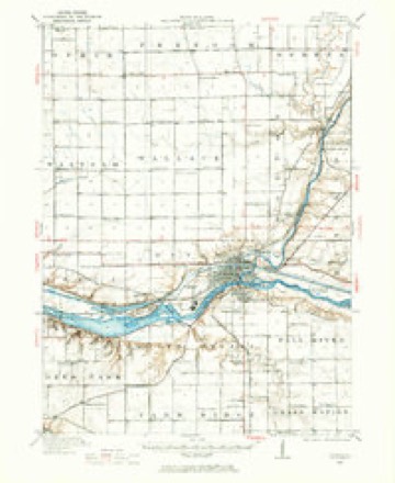
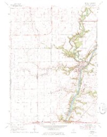
8 surveys from 26 printed sheetsMatched by testing this settlement's coordinate against the published boundary of every sheet in the United States Geological Survey's historical collection. Each opens the scanned sheet at the Survey.
- 1892 USGS Ottawa quadrangle1:62500, 9 printings
- 1915 USGS Ottawa quadrangle1:62500, 7 printings
- 1946 USGS Ottawa quadrangle1:62500, 2 printings
- 1958 USGS Aurora quadrangle1:250000, 3 printings
- 1961 USGS Aurora quadrangle1:250000
- 1970 USGS Wedron quadrangle1:24000, 2 printings
- 1985 USGS Ottawa quadrangle1:100000
- 1991 USGS Ottawa quadrangle1:100000


In the county-history sources
6,439 words on this townshipHistory of LaSalle County, Illinois : Its Topography, Geology, Botany, Natural History, History of the Mound Builders, Indian Tribes, French Explorations, and a Sketch of the Pioneer Settlers of Each Town to 1840, with an Appendix, Giving the Present Status of the County, Its Population, Resources, Manufactures and Institutions, published 1877 names this settlement in its chapter on Dayton Township. These are the passages that mention it, exactly as the scans read.
Dayton embraces that part of 'T. 34, R. 4, which lies west of the Fox river, about fourteen sections, and a strip one and a half sections wide, from the eastside of T. #4, R.3, being abont twenty-three sections of the who! It formerly included the whole of T. 34, 8.3, but the town of Wallace was taken from its western side, reducing it to its present siz Indian creek passes across the northeast corner of the town, and Crooked Log creek and Buck creek across the northern part, furnishing considerable timber to that see. tion, These creeks, with the repid descent of the iver, give good drainage to the whole town. had the first flouring mill in the county, and the first woolen mill ran water, in the State, At one time, about 1834 and 1835, it was in advanee of OF ithad a flouring mill, doing a heavy business, a saw mill, wagon shop, ta y, and chair shop, and stores doing a lange business.
James McFadden, from Ohio, in the fall of 1831. Kept store in Dayton, where the woolen mill gow is; it was swept off by high water in the following spring. He was captain of a company of Home Guards, raised in the county during the Black Hawk war; was shot through the ankle by Indians on Indian creek in 1882; he went to Galena,
Rapids of the Tlinois on the south, Marseilles in its southeast corner, Ottawa at its southwest. The Tilinois and Michigan Canal, and Rock Island & Pacific R. R. pass throngh its southern border, while its western and northern line is washed by the Fox, with its rapids and heavy water power - a combination of natural resources that must insure a future of which we can form no conception. It is useless to speculate as to the time, This region of country is only just in its infaney, and the womb of time is pregnant with startling events to be developed in the distant futnre, When the Lowells and Birminghams of the East shall be duplicated along the banks of the Tllinois and the Fox, the towns of Rutland, Manlius, Fall River, Dayton and Ottawa, will constitute one grand metropolitan city of busy industry and commerce.
Machine-read from a century-old scan, so expect the errors a machine makes: misspelled names, dropped words, stray characters.
Read the whole chapter on Dayton Township - it names this place 8 more 8 times.
Fires near this place
3 since 2010Regional context, not property-specific evidence. The federal wildfire occurrence database lists 3 fires within 5 miles of Dayton between 2010 and 2018, burning about 2 acres in total. None started naturally. None was recorded as arson. Distance is straight-line from the map coordinates, so a fire counted here may appear on a neighbouring settlement's page as well.
| Reported cause | Fires |
|---|---|
| Missing data/not specified/undetermined | 2 |
| Debris and open burning | 1 |
The most recent of them, most recent first, with the day each was reported and the service that recorded it.
| Date | Cause | Size | Reported by | Name on the report |
|---|---|---|---|---|
| 1 April 2015 | Debris and open burning | 1.0 acres | Illinois Division of Forestry Resources | 15086 |
| 29 March 2010 | Missing data/not specified/undetermined | under an acre | Illinois Division of Forestry Resources | 1023 |
| 19 March 2018 | Missing data/not specified/undetermined | under an acre | Illinois Division of Forestry Resources | 180318007 |
Settlements close enough to share some of these fires:
Mines and quarries near this place
7 within 5 milesRegional context, not property-specific evidence. The federal mineral resources record lists 7 workings within 5 miles of Dayton: 6 past producers, 1 plant. 1 still produces. What was taken out: Clay, Sand and Gravel, Construction, Stone, Stone, Crushed/Broken. Distance is straight-line from the map coordinates, so a quarry counted here may appear on a neighbouring settlement's page as well.
| Where | Site | Commodity | Status | Recorded |
|---|---|---|---|---|
| Lasalle County Highway Pit | Stone | Past Producer | ||
| Wedron Plant & Quarry | Stone, Crushed/Broken | Plant | ||
| Wedron Gravel Pit | Sand and Gravel, Construction | Past Producer | ||
| Wedron Pit | Sand and Gravel, Construction | Past Producer | ||
| Materialite Pit | Clay | Past Producer | ||
| Ottawa Shale Pit | Clay | Past Producer | ||
| Porter Co.Clay Pit | Clay | Past Producer |
Storms near this place
3 since 2014Regional context, not property-specific evidence. The National Weather Service names Dayton in 3 storm reports between 2014 and 2025: 2 thunderstorm wind, 1 funnel cloud. No death or injury is recorded in these reports. Each account below is quoted exactly as the forecast office filed it, from the NOAA Storm Events Database, and each date opens the federal record of that event.
| When | Event | Place named | Harm | What the report says |
|---|---|---|---|---|
| July 2025 | Funnel Cloud | Dayton | - | Numerous reports of a funnel cloud west of Dayton were relayed by law enforcement. |
| March 2025 | Thunderstorm Wind | Dayton | - | no account filed |
| May 2014 | Thunderstorm Wind | Dayton | - | no account filed |
Nearest settlements
The eight closest, with where each one stands in the county. Distances are straight-line, computed from the Geographic Names Information System coordinates.
| Map | Place | Distance | Sheets |
|---|---|---|---|
| Sulphur Springs | 2.6 miles | 26 | |
| Wedron | 3.7 miles | 26 | |
| Ottawa | 3.7 miles | 27 | |
| South Ottawa (historical) | 4.3 miles | 27 | |
| Blakes | 5.5 miles | 26 | |
| Naplate | 5.7 miles | 27 | |
| Hitt | 5.7 miles | 27 | |
| Marseilles | 5.9 miles | 18 |
Elsewhere
Matched on this settlement's Geographic Names Information System number rather than its name, so it cannot be a different place of the same name in another state.
| Wikipedia article on Dayton | An encyclopaedic summary. Its text is share-alike, so it is linked here rather than copied. |
| Wikidata item Q5243473 | The structured record the population and elevation above come from. Public domain (CC0). |
Provenance
This settlement is recorded in the Geographic Names Information System as feature 407005. The sheet list is computed by point-in-boundary test against the United States Geological Survey's historical topographic inventory. Both are works of the United States government and carry no copyright under 17 U.S.C. 105.
Wildfire. Short, Karen C. 2022. Spatial wildfire occurrence data for the United States, 1992-2020 [FPA_FOD_20221014]. 6th Edition. Fort Collins, CO: Forest Service Research Data Archive. https://doi.org/10.2737/RDS-2013-0009.6 Collected with United States Government funding and usable without additional permissions or fees.
Mines and quarries. USGS Mineral Resources Data System (MRDS) https://mrdata.usgs.gov/mrds/ A work of the United States government, no copyright under 17 U.S.C. 105.
Storms. NOAA National Centers for Environmental Information, Storm Events Database https://www.ncei.noaa.gov/stormevents/ A work of the United States government, no copyright under 17 U.S.C. 105. Narratives are quoted verbatim from the National Weather Service report and are not edited or summarised.