 Block
Spaulding, Illinois
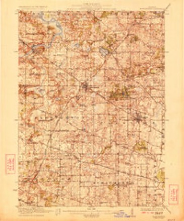
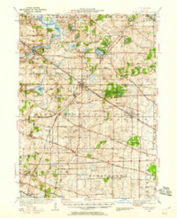
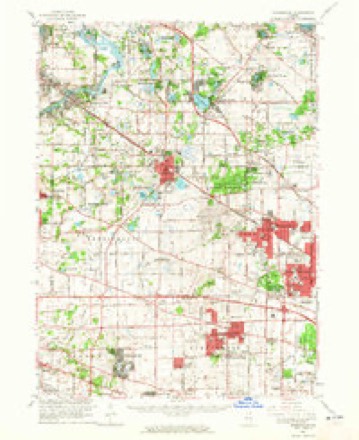
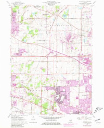
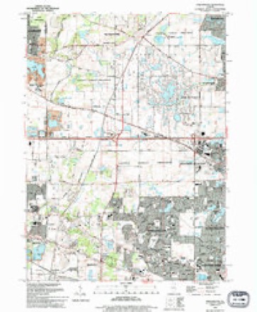
20 topographic sheets cover this place, the earliest surveyed in 1923 and the latest in 1993. It stands in Hanover Township. It lies in ZIP code area 60120. The Survey maps it on the Streamwood quadrangle.
Topographic sheets covering this place
10 surveys from 20 printed sheetsMatched by testing this settlement's coordinate against the published boundary of every sheet in the United States Geological Survey's historical collection. Each opens the scanned sheet at the Survey.
- 1923 USGS Barrington quadrangle1:62500, 4 printings
- 1935 USGS Barrington quadrangle1:62500
- 1954 USGS Rockford quadrangle1:250000
- 1955 USGS Rockford quadrangle1:250000
- 1958 USGS Rockford quadrangle1:250000, 4 printings
- 1961 USGS Barrington quadrangle1:62500
- 1961 USGS Streamwood quadrangle1:24000, 5 printings
- 1963 USGS Rockford quadrangle1:250000
- 1981 USGS Elgin quadrangle1:100000
- 1993 USGS Streamwood quadrangle1:24000





Fires near this place
4 since 2013Regional context, not property-specific evidence. The federal wildfire occurrence database lists 4 fires within 5 miles of Spaulding between 2013 and 2014, burning about 2 acres in total. None started naturally. None was recorded as arson. Distance is straight-line from the map coordinates, so a fire counted here may appear on a neighbouring settlement's page as well.
| Reported cause | Fires |
|---|---|
| Debris and open burning | 3 |
| Missing data/not specified/undetermined | 1 |
The most recent of them, most recent first, with the day each was reported and the service that recorded it.
| Date | Cause | Size | Reported by | Name on the report |
|---|---|---|---|---|
| 7 April 2014 | Debris and open burning | under an acre | Illinois Division of Forestry Resources | 2014-339 |
| 7 April 2014 | Debris and open burning | under an acre | Illinois Division of Forestry Resources | 2014-337 |
| 10 April 2014 | Missing data/not specified/undetermined | under an acre | Illinois Division of Forestry Resources | 2014-357 |
| 14 November 2013 | Debris and open burning | under an acre | Illinois Division of Forestry Resources | 2013-1086 |
Settlements close enough to share some of these fires:
Mines and quarries near this place
10 of 13 shownRegional context, not property-specific evidence. The federal mineral resources record lists 13 workings within 5 miles of Spaulding: 6 past producers, 5 producers, 2 plants. 7 still produce. What was taken out: Sand and Gravel, Construction, Stone, Crushed/Broken. Distance is straight-line from the map coordinates, so a quarry counted here may appear on a neighbouring settlement's page as well.
| Where | Site | Commodity | Status | Recorded |
|---|---|---|---|---|
| Fox River Quarry | Stone, Crushed/Broken | Producer | ||
| Fox River Quarry | Stone, Crushed/Broken | Past Producer | ||
| Bartlett Pit | Sand and Gravel, Construction | Past Producer | ||
| Bartlett Plant & Pit | Sand and Gravel, Construction | Producer | ||
| Beverly Gravel Pit | Sand and Gravel, Construction | Producer | ||
| Elgin Pit | Sand and Gravel, Construction | Past Producer | ||
| Hammond Plant & Pit | Sand and Gravel, Construction | Past Producer | ||
| Hammonds Pit & Mill | Sand and Gravel, Construction | Plant | ||
| Mc Graw Pit Meyer Material | Sand and Gravel, Construction | Producer | ||
| Route 20 Pit | Sand and Gravel, Construction | Past Producer |
Storms near this place
8 since 2009Regional context, not property-specific evidence. The National Weather Service names Spaulding in 8 storm reports between 2009 and 2025: 2 flood, 2 hail, 1 flash flood, 1 tornado. No death or injury is recorded in these reports. Each account below is quoted exactly as the forecast office filed it, from the NOAA Storm Events Database, and each date opens the federal record of that event.
| When | Event | Place named | Harm | What the report says |
|---|---|---|---|---|
| July 2011 | Flash Flood | Spaulding | $20,000,000 | Thunderstorms produced torrential rainfall across northern Cook County with rainfall rates between 2 and 4 inches per hour which caused widespread flash flooding. Chicago O'Hare Airport measured 6.78 inches of rain during a 3 hour period between 1251 am CDT and 351 am CDT, with 3.19 inches falling between 151 am CDT and 251 am CDT. This extreme rainfall which fell across much of northern Cook County caused widespread street, parking lot and basement flooding with numerous cars stranded and submerged. Retention ponds, creeks and small streams quickly overflowed their banks.||In Prospect Heights, a sewage lift station lost power for about 6 hours, causing the flooding to be worse in some areas. Some basements were completely flooded with flood water and sewage 8 to 10 feet deep. In Mt. Prospect, an estimated 100 vehicles were disabled in high water. Numerous roads and intersections were flooded with several feet of standing water. Two feet of water pooled in the underground parking garage of the Mt. Prospect Library. Some of this water seeped into the lower level lobby. In Park Ridge, nearly 500 basements were flooded along with numerous streets. In nearby unincorporated Maine Township, more than 500 residences and 175 businesses were affected by flooding. Hundreds of vehicles suffered some amount of flood damage with some vehicles completely covered by flood waters.||In Niles, more than 240 homes suffered some level of flooding with 5 to 6 feet of water in some basements. In Glenview, three manhole covers were blown off by the flood waters with numerous flooded streets. In Glencoe, numerous streets were flooded and impassible stranding dozens of cars. One motorist needed to be rescued from a vehicle. The basment of the Village Hall was also flooded. In Des Plaines, dozens of streets and basements were flooded. Some basements sustained as much as $10,000 in damages. One woman had to be rescued from her stranded car on Elmhurst Road. Fairgrounds in downtown Des Plaines were damaged by flood water. In Northbrook, four motorists had to be rescued from vehicles stranded in flood waters. In Elk Grove Village, almost every road had some amount of flooding during the height of the storm. At least one vehicle was stranded in flood waters on Morrison Boulevard.||In Rolling Meadows, the Carriageway area and Barker Lake areas were the hardest hit. Several streets were flooded with stranded and submerged vehicles. In Winnetka, numerous streets were flooded and impassible with stranded and submerged vehicles. Basement flooding was widespread. A sink hole developed near a large hackberry tree and the water rushing into the hole resembled a small waterfall. The tree began to lean over and was eventually cut down. The Winnetka Golf Club's 18 hole course was closed for 10 days due to flooding and is part of a floodplain, which is expected to provide stormwater detention after heavy rain. In Palatine, a 15 foot by 20 foot sinkhole developed at the northwest corner of Dundee and Hicks Road when a sewer line about 30 feet below the surface collapsed. In Arlington Heights, numerous streets and basements were flooded including the parking lot of the International Plaza. Several cars were stranded in the flood waters. The Arlington Heights Chamber of Commerce office in the basement of a bank was flooded. Flood water was reported to be a raging river which roared down Phelps Avenue in Arlington Heights. Damage to just one basement was estimated at $80,000.||Storm total rainfall amounts included 8.20 inches at Chicago O'Hare Airport; 7.25 inches in Arlington Heights; 7.17 inches in Elk Grove Village; 6.06 inches at the Wheeling/Chicago Excutive Airport and 5.33 inches in Northbrook. |
| July 2025 | Heavy Rain | Spaulding | - | A personal weather station reported 3.11 inches of rain in one hour. |
| August 2025 | Thunderstorm Wind | Spaulding | - | A one foot diameter tree was snapped along Spaulding Rd in Bartlett. |
| April 2023 | Hail | Spaulding | - | Golf ball size hail was reported near Ivory Lane and Spaulding Road. |
| July 2023 | Tornado (EF1) | Spaulding | - | This tornado started in a farm field east of Kendall Road and continued eastward through Elgin. Damage along the path of the tornado consisted of snapped trees and tree limbs, especially between Bowes Bend Drive and Randall Road. Damage to roofs, siding, and walls of homes, a garage, and a farm building was also noted near Bowes Bend Drive and Longcommon Parkway. The roof of a church was also damaged near Nesler Road. The storm crossed into Cook County on the southwest side of Bluff Spring Fen. The tornado appeared to lift near the intersection of Gifford Road and Lake Street. |
| May 2020 | Flood | Spaulding | - | After heavy rain and flash flooding on May 17th, flooding continued on May 18th across many areas in northern Cook County. |
| June 2009 | Flood | Spaulding | - | After heavy rain during the morning of June 19th which caused flash flooding along Poplar Creek, flooding continued through the evening of June 20th. Several roads on the southeast side of Elgin in Cook County remained closed. Streets that were impassible included Willard Avenue between Sharon Court and Laurel Street; the intersection of Varsity and Maroon Drives; Hammond Avenue between Lavoie Avenue and Liberty Street; the south ends of Liberty, Lavoie, and Illinois Avenue; the area around Ramona Drive and Willard; part of Ramona in Villa Garden Estates mobile home park; and the intersection of Sadler Avenue and Jan Marie Drive in Old Oak Estates mobile home park. |
| July 2015 | Hail | Spaulding | - | no account filed |
Nearest settlements
The eight closest, with where each one stands in the county. Distances are straight-line, computed from the Geographic Names Information System coordinates.
| Map | Place | Distance | Sheets |
|---|---|---|---|
| Sherwood Oaks | 1.7 miles | 20 | |
| Bartlett | 2.7 miles | 20 | |
| Streamwood | 3.4 miles | 20 | |
| Sutton | 6.8 miles | 20 | |
| Barrington Center | 7.7 miles | 20 | |
| Schaumburg | 8.3 miles | 22 | |
| South Barrington | 8.6 miles | 22 | |
| Hoffman Estates | 8.7 miles | 22 |
Provenance
This settlement is recorded in the Geographic Names Information System as feature 423195. The sheet list is computed by point-in-boundary test against the United States Geological Survey's historical topographic inventory. Both are works of the United States government and carry no copyright under 17 U.S.C. 105.
Wildfire. Short, Karen C. 2022. Spatial wildfire occurrence data for the United States, 1992-2020 [FPA_FOD_20221014]. 6th Edition. Fort Collins, CO: Forest Service Research Data Archive. https://doi.org/10.2737/RDS-2013-0009.6 Collected with United States Government funding and usable without additional permissions or fees.
Mines and quarries. USGS Mineral Resources Data System (MRDS) https://mrdata.usgs.gov/mrds/ A work of the United States government, no copyright under 17 U.S.C. 105.
Storms. NOAA National Centers for Environmental Information, Storm Events Database https://www.ncei.noaa.gov/stormevents/ A work of the United States government, no copyright under 17 U.S.C. 105. Narratives are quoted verbatim from the National Weather Service report and are not edited or summarised.