 Block
Tamarack, Illinois
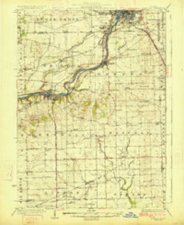
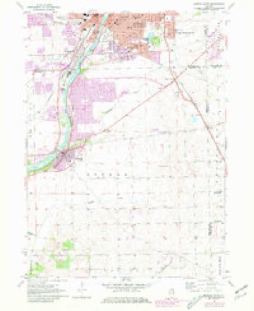
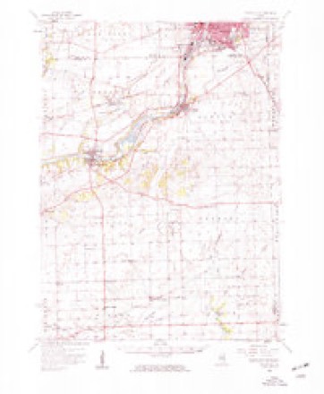
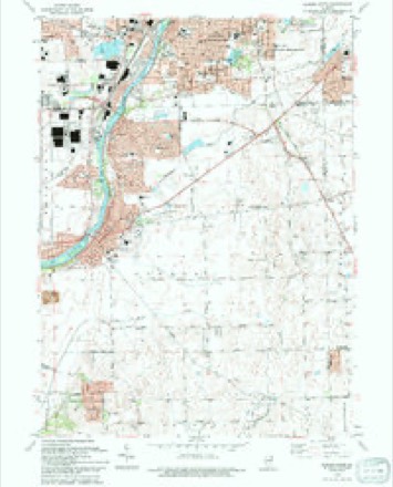
14 topographic sheets cover this place, the earliest surveyed in 1925 and the latest in 1993. It stands in Wheatland Township. It lies in ZIP code area 60585. The Survey maps it on the Aurora South quadrangle.
Topographic sheets covering this place
7 surveys from 14 printed sheetsMatched by testing this settlement's coordinate against the published boundary of every sheet in the United States Geological Survey's historical collection. Each opens the scanned sheet at the Survey.
- 1925 USGS Yorkville quadrangle1:62500, 2 printings
- 1954 USGS Aurora South quadrangle1:24000, 4 printings
- 1954 USGS Yorkville quadrangle1:62500, 2 printings
- 1958 USGS Aurora quadrangle1:250000, 3 printings
- 1961 USGS Aurora quadrangle1:250000
- 1985 USGS Aurora quadrangle1:100000
- 1993 USGS Aurora South quadrangle1:24000



Mines and quarries near this place
9 within 5 milesRegional context, not property-specific evidence. The federal mineral resources record lists 9 workings within 5 miles of Tamarack: 5 past producers, 2 producers, 1 occurrence, 1 plant. 3 still produce. What was taken out: Stone, Crushed/Broken, Sand and Gravel, Construction. Distance is straight-line from the map coordinates, so a quarry counted here may appear on a neighbouring settlement's page as well.
| Where | Site | Commodity | Status | Recorded |
|---|---|---|---|---|
| Hafrenrichter Gravel Pit | Sand and Gravel, Construction | Past Producer | ||
| Patterson Pit | Sand and Gravel, Construction | Past Producer | ||
| Avery No. 3 Pit & Mill | Stone, Crushed/Broken | Producer | ||
| Boughton Quarry & Mill | Stone, Crushed/Broken | Plant | ||
| Dupage River Quarry E.E. Hauling | Stone, Crushed/Broken | Producer | ||
| Illinois Stone Co Quarry | Stone, Crushed/Broken | Past Producer | ||
| Limestone Prospect | Stone, Crushed/Broken | Occurrence | ||
| Limestone Prospect | Stone, Crushed/Broken | Past Producer | ||
| Plainfield Quarry | Stone, Crushed/Broken | Past Producer |
Storms near this place
12 since 2019Regional context, not property-specific evidence. The National Weather Service names Tamarack in 12 storm reports between 2019 and 2026: 4 thunderstorm wind, 2 flash flood, 2 hail, 2 tornado. No death or injury is recorded in these reports. Each account below is quoted exactly as the forecast office filed it, from the NOAA Storm Events Database, and each date opens the federal record of that event.
| When | Event | Place named | Harm | What the report says |
|---|---|---|---|---|
| May 2024 | Thunderstorm Wind | Tamarack | - | An image was relayed on social media of utility poles blown down near Route 126 and County Line Road. |
| July 2024 | Thunderstorm Wind | Tamarack | - | Multiple tree limbs up to 14 inches in diameter were blown down near Hoffman Boulevard and Wolfs Road. |
| July 2024 | Tornado (EF1) | Tamarack | - | A tornado with estimated peak winds of 100 mph which touched down in Kendall County crossed into Will County just west of the intersection of Route 30 and Eola Road. The tornado moved east northeast producing tree damage along its path. Several small trees were snapped between 95th Street and 103rd Street. The tornado crossed Route 14 and numerous tree limbs were blown down just north of Knoch Knolls Road. The tornado crossed Washington Street and continued producing tree damage until it ended near Kelm Road just south of Walnut Ridge Park. |
| August 2024 | Thunderstorm Wind | Tamarack | - | A photo shared via social media showed a large tree limb down between Landsdown Ave and Mistflower Ln in Naperville. |
| March 2023 | Thunderstorm Wind | Tamarack | - | A Davis personal weather station measured a 72 mph gust. A large pine tree was blown down and multiple air conditioning units were blown over near Meadow Lane and 135th St. |
| March 2023 | Tornado (EF0) | Tamarack | - | The tornado began near W 135th Street just west of Meadow Lane in Plainfield and tracked east-northeast before dissipating near the intersection of Golden Meadow Dr and Golden Sunset Dr just west of IL Rt. 59. The damage was confined to primarily trees, but some shingles and siding were removed from homes along the path. |
| June 2021 | Flash Flood | Tamarack | - | Several roads were flooded and impassable in Plainfield including Route 30 between 127th Street and 135 Street, Van Dyke Road between Prairie Grove Drive and Shagbark Drive and 127th Street and Shenandoah Trail. |
| October 2021 | Heavy Rain | Tamarack | - | Rainfall of 1.14 inches was measured in 40 minutes. |
| September 2019 | Flood | Tamarack | - | After flash flooding during the evening of September 27th, flood waters continued to slowly recede through the morning of September 29th. |
| September 2019 | Flash Flood | Tamarack | - | Flash flooding occurred in many areas in western Will County. In Romeoville, Weber Road was closed between Renwick and Airport Roads and Route 53 was closed between Renwick and Taylor Roads. In Joliet, Theodore Street and Larkin Avenue was flooded. Street flooding was reported near Onedia Street and Hammes Avenue. In Crest Hill, Theodore Street at Gaylord Road was closed with 1 to 2 feet of flowing water. Cars were submerged in flood waters near Caton Farm and County Line Roads. Storm total rainfall amounts included 8.03 inches two miles south southeast of Channahon; 7.00 inches six miles northwest of Wilmington; 6.34 inches five miles northeast of Elwood; 5.55 inches one mile northeast of Channahon; 4.99 inches on the north side of Joliet; 4.90 inches one mile southeast of Lockport; 4.84 inches in Romeoville; 4.31 inches three miles east southeast of Plainfield and 4.04 inches two miles northwest of Homer Glen. |
| March 2026 | Hail | Tamarack | - | no account filed |
| April 2023 | Hail | Tamarack | - | no account filed |
Nearest settlements
The eight closest, with where each one stands in the county. Distances are straight-line, computed from the Geographic Names Information System coordinates.
| Map | Place | Distance | Sheets |
|---|---|---|---|
| Wheatland Plains | 0.3 miles | 14 | |
| Shenandoah | 0.5 miles | 22 | |
| Prairie Ponds | 0.8 miles | 22 | |
| Tuttle Farm | 0.9 miles | 22 | |
| Normantown | 1.1 miles | 22 | |
| Walkers Grove | 1.2 miles | 22 | |
| Harvest Glen | 1.7 miles | 22 | |
| Prairie Knoll | 2.0 miles | 22 |
Provenance
This settlement is recorded in the Geographic Names Information System as feature 423230. The sheet list is computed by point-in-boundary test against the United States Geological Survey's historical topographic inventory. Both are works of the United States government and carry no copyright under 17 U.S.C. 105.
Mines and quarries. USGS Mineral Resources Data System (MRDS) https://mrdata.usgs.gov/mrds/ A work of the United States government, no copyright under 17 U.S.C. 105.
Storms. NOAA National Centers for Environmental Information, Storm Events Database https://www.ncei.noaa.gov/stormevents/ A work of the United States government, no copyright under 17 U.S.C. 105. Narratives are quoted verbatim from the National Weather Service report and are not edited or summarised.