 Block
Thomson, Illinois
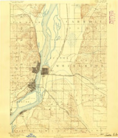
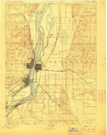
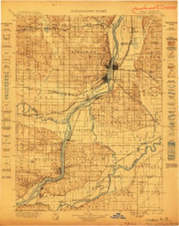
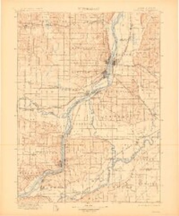
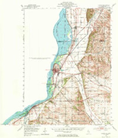
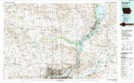
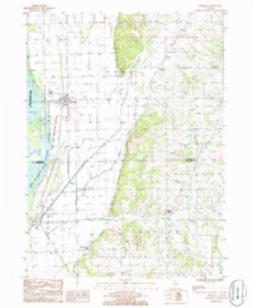
18 topographic sheets cover this place, the earliest surveyed in 1891 and the latest in 1985. It stands in York Township. It lies in ZIP code area 61285. The Survey maps it on the Thomson quadrangle.
Topographic sheets covering this place
10 surveys from 18 printed sheetsMatched by testing this settlement's coordinate against the published boundary of every sheet in the United States Geological Survey's historical collection. Each opens the scanned sheet at the Survey.
- 1891 USGS Clinton quadrangle1:62500
- 1894 USGS Clinton quadrangle1:62500, 3 printings
- 1899 USGS Clinton quadrangle1:125000
- 1899 USGS Cordova quadrangle1:125000, 4 printings
- 1952 USGS Clinton quadrangle1:62500, 2 printings
- 1958 USGS Davenport quadrangle1:250000, 2 printings
- 1961 USGS Davenport quadrangle1:250000
- 1962 USGS Davenport quadrangle1:250000
- 1984 USGS Davenport quadrangle1:100000, 2 printings
- 1985 USGS Thomson quadrangle1:24000



In the county-history sources
13,429 words on this townshipThe History of Carroll County, Illinois, Containing a History of the County-its Cities, Towns, Etc., a Biographical Directory ... War Record ... Statistics, Portraits of Early Settlers and Prominent Men ... History of the Northwest ... Illinois ... Miscellaneous Matters, Etc, published 1878 names this settlement in its chapter on York Township. These are the passages that mention it, exactly as the scans read.
The Village of Thomson is an outgrowth of the Western Union Railroad. It is situated on sections 24 and 25, York Townshi]), in the centre of a very beautiful valley, hemmed in by the Mississijipi River on the west, and a higli range of bluffs on the east. At this point, the valley is very nearly four miles in width between the bluffs and the river, and Thomson is about midway between them. North and south the level prairie, dotted all over with well-cullivaled farms, handsome houses and large barns, stretches away as far as the eye can reach.
Passage source: The History of Carroll County, Illinois, Containing a History of the County-its Cities, Towns, Etc., a Biographical Directory ... War Record ... Statistics, Portraits of Early Settlers and Prominent Men ... History of the Northwest ... Illinois ... Miscellaneous Matters, Etc, published 1878.
The first house erected on the ground now occupied by Thomson was built by Norman Judson. It was of the kind known as a "grout house," antl is still standing and occupied by Dr. Saunders. At the lime Mr. Jud.son was building this house, there was an unmarried man here, and who remained for some time, but his name had escaped the memory of those from whom these data were gathered. That gentleman is now a resident of Morrison. Herman Worthington bougtht out Judson's interest; Worthington sold to n .Mr. Hoover, and Hoover sold o the railroad comp iny. 'I'iiis tract of land is ilescribeil as the west half of th'^ southeast (juarter of section 24.
Passage source: The History of Carroll County, Illinois, Containing a History of the County-its Cities, Towns, Etc., a Biographical Directory ... War Record ... Statistics, Portraits of Early Settlers and Prominent Men ... History of the Northwest ... Illinois ... Miscellaneous Matters, Etc, published 1878.
Educational. - In 1865, the first school was taught in Thomson. A Miss Brown, daughter of Noah Brown, was the teacher. When the building of a school house was undertaken, there were only five legal voters in the district, three of whom were school directors. The building was commenced in 1865. The house then fashioned answered the demands of the district until 187 1, when an addition was made for graded school purposes. The school is now composed of three departments, accommodating 150 scholars, who are under charge of Professor McKay, as principal.
Passage source: The History of Carroll County, Illinois, Containing a History of the County-its Cities, Towns, Etc., a Biographical Directory ... War Record ... Statistics, Portraits of Early Settlers and Prominent Men ... History of the Northwest ... Illinois ... Miscellaneous Matters, Etc, published 1878.
Machine-read from a century-old scan, so expect the errors a machine makes: misspelled names, dropped words, stray characters.
Read the whole chapter on York Township - it names this place 37 more 37 times.
Fires near this place
6 since 1992Regional context, not property-specific evidence. The federal wildfire occurrence database lists 6 fires within 5 miles of Thomson between 1992 and 2014, burning about 295 acres in total. None started naturally. None was recorded as arson. Distance is straight-line from the map coordinates, so a fire counted here may appear on a neighbouring settlement's page as well.
| Reported cause | Fires |
|---|---|
| Recreation and ceremony | 3 |
| Debris and open burning | 2 |
| Smoking | 1 |
The most recent of them, most recent first, with the day each was reported and the service that recorded it.
| Date | Cause | Size | Reported by | Name on the report |
|---|---|---|---|---|
| 17 April 1996 | Debris and open burning | 15 acres | Savanna District, Upper Mississippi National Wildlife Refuge | SIMPSONTWO |
| 31 March 2014 | Recreation and ceremony | 265 acres | Savanna District, Upper Mississippi National Wildlife Refuge | THOMSON RNA |
| 31 March 1992 | Smoking | 10 acres | Savanna District, Upper Mississippi National Wildlife Refuge | GOOSEPOINT |
| 10 November 2010 | Debris and open burning | under an acre | Savanna District, Upper Mississippi National Wildlife Refuge | WARREN |
| 8 October 2013 | Recreation and ceremony | 2.0 acres | Savanna District, Upper Mississippi National Wildlife Refuge | SOUTH THOMSON FIRE |
| 23 October 1999 | Recreation and ceremony | 2.6 acres | Savanna District, Upper Mississippi National Wildlife Refuge | BOWHUNTER |
Settlements close enough to share some of these fires:
Mines and quarries near this place
6 within 5 milesRegional context, not property-specific evidence. The federal mineral resources record lists 6 workings within 5 miles of Thomson: 4 past producers, 2 producers. 2 still produce. What was taken out: Stone, Crushed/Broken, Sand and Gravel, Construction. Distance is straight-line from the map coordinates, so a quarry counted here may appear on a neighbouring settlement's page as well.
| Where | Site | Commodity | Status | Recorded |
|---|---|---|---|---|
| Doyle Pit | Sand and Gravel, Construction | Past Producer | ||
| Graharing Quarryrein,Schultz,Dahl | Stone, Crushed/Broken | Past Producer | ||
| Rein,Schultz & Dahl Sand Pit | Sand and Gravel, Construction | Past Producer | ||
| Thomson Pit | Sand and Gravel, Construction | Producer | ||
| Thomson-Groharing Quarry | Stone, Crushed/Broken | Producer | ||
| Unnamed Limestone Quarry | Stone, Crushed/Broken | Past Producer |
Storms near this place
22 since 1997Regional context, not property-specific evidence. The National Weather Service names Thomson in 22 storm reports between 1997 and 2026: 11 thunderstorm wind, 8 hail, 2 tornado, 1 funnel cloud. No death or injury is recorded in these reports. Each account below is quoted exactly as the forecast office filed it, from the NOAA Storm Events Database, and each date opens the federal record of that event.
| When | Event | Place named | Harm | What the report says |
|---|---|---|---|---|
| June 2014 | Tornado (EF1) | Thomson | $50,000 | A downburst spawned a brief tornado near Thomson. A old outbuilding was destroyed and extensive damage occurred to large, healthy trees (mostly snapped and some uprooted). Collateral damage to homes and vehicles also occurred from falling trees. Radar indicated gate-to-gate cyclonic shear. The damage path was approximately 3/8 mile wide. The tornado damage was rated EF1 and peak winds were estimated at 100 mph. |
| June 2010 | Thunderstorm Wind | Thomson | $25,000 | Wind gusts estimated to be 70 mph blew trees and power lines down in Thomson, IL around 100 pm CST June 18. Some power outages were also observed. A large tree fell onto a camping trailer at Thomson Causeway. |
| June 2003 | Hail | Thomson | $20,000 | no account filed |
| August 2005 | Thunderstorm Wind | Thomson | $7,000 | Tree down on a camper. |
| April 2026 | Hail | Thomson | - | Photos showing hail ranging from 3 to 3.25 inches in diameter were sent. Time was estimated from radar data. |
| July 2025 | Thunderstorm Wind | Thomson | - | Dispatch reported multiple power poles and wires down, leading to portions of Route 84 being closed. Along the same route, reports of several farm irrigators being knocked over, as well as trees. Time estimated by radar. |
| July 2022 | Funnel Cloud | Thomson | - | A trained spotter reported a brief funnel cloud about a quarter of the way down to the ground. |
| April 2015 | Tornado (EF1) | Thomson | - | A NWS Storm Survey found that a tornado touched down 5 miles northeast of Fulton Illinois and lifted 8 miles east of Thomson Illinois. The tornado was on the ground for 7.22 miles in Carroll County caused damage primarily to trees and farm outbuildings. |
| June 2014 | Thunderstorm Wind | Thomson | - | A trained spotter reported dozens of trees down, power poles snapped off, semi-truck flipped and a motor home tipped. |
| June 2014 | Thunderstorm Wind | Thomson | - | The emergency manager reported a barn blown down along with outbuildings and a garage damaged. Corn fields were also flattened. |
| August 2011 | Thunderstorm Wind | Thomson | - | Pine trees approximately 12 inches in diameter snapped off near the base on Main Street and West street. This tree fell on power lines causing power outages in the town of Thomson. |
| October 2010 | Thunderstorm Wind | Thomson | - | Law enforcement reported a tree down just south of Thomson. |
| April 2008 | Hail | Thomson | - | Penny size hail was reported near Thomson. |
| June 2008 | Thunderstorm Wind | Thomson | - | Winds estimated to be 60 mph blew down several three inch diameter tree branches about 2.5 miles north northwest of Thomson, IL at 10:13 am June 8. |
| June 2008 | Thunderstorm Wind | Thomson | - | Wind gusts estimated to be 65 mph blew down a large tree on Thomson Road just east of Thomson, IL around 6:20 pm June 12. |
| July 2007 | Thunderstorm Wind | Thomson | - | Winds estimated to be 70 mph blew down several trees onto Route 84 just south of Thomson. |
| April 2026 | Hail | Thomson | - | no account filed |
| March 2006 | Hail | Thomson | - | no account filed |
| August 2002 | Hail | Thomson | - | no account filed |
| June 1999 | Thunderstorm Wind | Thomson | - | no account filed |
| June 1998 | Hail | Thomson | - | no account filed |
| May 1997 | Hail | Thomson | - | no account filed |
Nearest settlements
The eight closest, with where each one stands in the county. Distances are straight-line, computed from the Geographic Names Information System coordinates.
| Map | Place | Distance | Sheets |
|---|---|---|---|
| Ebner | 1.9 miles | 18 | |
| Argo Fay | 5.3 miles | 21 | |
| Ideal | 6.0 miles | 11 | |
| Ayers | 6.6 miles | 21 | |
| Hickory Grove | 7.2 miles | 21 | |
| Burke | 7.2 miles | 21 | |
| Wacker | 7.4 miles | 21 | |
| Daggett (historical) | 8.4 miles | 14 |
Provenance
This settlement is recorded in the Geographic Names Information System as feature 419679. The sheet list is computed by point-in-boundary test against the United States Geological Survey's historical topographic inventory. Both are works of the United States government and carry no copyright under 17 U.S.C. 105.
Wildfire. Short, Karen C. 2022. Spatial wildfire occurrence data for the United States, 1992-2020 [FPA_FOD_20221014]. 6th Edition. Fort Collins, CO: Forest Service Research Data Archive. https://doi.org/10.2737/RDS-2013-0009.6 Collected with United States Government funding and usable without additional permissions or fees.
Mines and quarries. USGS Mineral Resources Data System (MRDS) https://mrdata.usgs.gov/mrds/ A work of the United States government, no copyright under 17 U.S.C. 105.
Storms. NOAA National Centers for Environmental Information, Storm Events Database https://www.ncei.noaa.gov/stormevents/ A work of the United States government, no copyright under 17 U.S.C. 105. Narratives are quoted verbatim from the National Weather Service report and are not edited or summarised.