 Block
Trivoli, Illinois
14 topographic sheets cover this place, the earliest surveyed in 1930 and the latest in 1990. It stands in Trivoli Township. It lies in ZIP code area 61569. The Survey maps it on the Farmington East quadrangle. 385 people lived here at the 2020 count. It stands 751 feet above sea level.
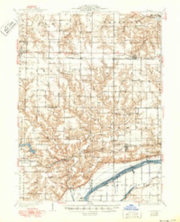
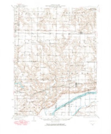
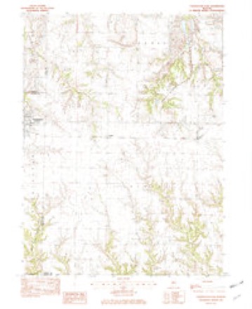
Topographic sheets covering this place
9 surveys from 14 printed sheetsMatched by testing this settlement's coordinate against the published boundary of every sheet in the United States Geological Survey's historical collection. Each opens the scanned sheet at the Survey.
- 1930 USGS Glasford quadrangle1:62500, 3 printings
- 1948 USGS Glasford quadrangle1:62500
- 1958 USGS Peoria quadrangle1:250000, 4 printings
- 1961 USGS Peoria quadrangle1:250000
- 1963 USGS Peoria quadrangle1:250000
- 1982 USGS Farmington East quadrangle1:24000
- 1985 USGS Peoria quadrangle1:100000
- 1989 USGS Peoria quadrangle1:100000
- 1990 USGS Peoria quadrangle1:250000






In the county-history sources
576 words on this townshipThe History of Peoria County, Illinois. Containing a History of the Northwest--history of Illinois--history of the County, Its Early Settlement, Growth, Development, Resources, Etc., Etc. .., published 1880 names this settlement in its chapter on Trivoli Township. These are the passages that mention it, exactly as the scans read.
Brunnwiuk Presbyterian Church, of Trivoli Toiniship. - About the year 1833, there came from Virginia a few families of Presbyterian parentage and training by the name of Ramsay, and located in the southwest part of Trivoli township, in the timber skirting the beautiful luit then neglected and despised prairie lanti. These were after a short time followed by other friends from tlieir native .State.
Passage source: The History of Peoria County, Illinois. Containing a History of the Northwest--history of Illinois--history of the County, Its Early Settlement, Growth, Development, Resources, Etc., Etc. .., published 1880.
is situated in the township of Trivoli, eighteen miles due west of the city of Peoria, and hius about two hundred inhabitants. The town was laid out about 1840 or '41. The business men at tiie present writing are as follows: Blacksmiths, J. K. Bourne, John Fletcher and John Grecnhalgh ; boot and shoemaker, Sharron Schilling; carpenter, James Callahan ; harness and collars, Jacob Linck ; justices of the peace, James Johnson and James Tyler; grist mill, Geo. Briber; physicians, A.J. Graham and W. C. Bonvard ; one newspaper, Trivoli S., James Johnson, editor; two general stores, one M. E. church and one school building. It does a considerable local trade, and to make it a place of prominence it only needs raihoad facilities, which are now contemplated and undoubtedly a year or two will bring.
Passage source: The History of Peoria County, Illinois. Containing a History of the Northwest--history of Illinois--history of the County, Its Early Settlement, Growth, Development, Resources, Etc., Etc. .., published 1880.
Machine-read from a century-old scan, so expect the errors a machine makes: misspelled names, dropped words, stray characters.
Fires near this place
1 since 2010Regional context, not property-specific evidence. The federal wildfire occurrence database lists 1 fire within 5 miles of Trivoli in 2010, burning under an acre in total. None started naturally. None was recorded as arson. Distance is straight-line from the map coordinates, so a fire counted here may appear on a neighbouring settlement's page as well.
| Reported cause | Fires |
|---|---|
| Missing data/not specified/undetermined | 1 |
The most recent of them, most recent first, with the day each was reported and the service that recorded it.
| Date | Cause | Size | Reported by | Name on the report |
|---|---|---|---|---|
| 7 October 2010 | Missing data/not specified/undetermined | under an acre | Illinois Division of Forestry Resources | 71065 |
Settlements close enough to share some of these fires:
Mines and quarries near this place
2 within 5 milesRegional context, not property-specific evidence. The federal mineral resources record lists 2 workings within 5 miles of Trivoli: 2 past producers. None of them still produces. What was taken out: Sand and Gravel, Construction, Clay. Distance is straight-line from the map coordinates, so a quarry counted here may appear on a neighbouring settlement's page as well.
| Where | Site | Commodity | Status | Recorded |
|---|---|---|---|---|
| Money Creek Township Pit | Sand and Gravel, Construction | Past Producer | ||
| Springfield Clay Prod.Co.Clay Pit | Clay | Past Producer |
Storms near this place
20 since 2002Regional context, not property-specific evidence. The National Weather Service names Trivoli in 20 storm reports between 2002 and 2024: 11 thunderstorm wind, 8 hail, 1 tornado. No death or injury is recorded in these reports. Each account below is quoted exactly as the forecast office filed it, from the NOAA Storm Events Database, and each date opens the federal record of that event.
| When | Event | Place named | Harm | What the report says |
|---|---|---|---|---|
| March 2016 | Tornado (EF2) | Trivoli | $1,000,000 | A tornado touched down 2 miles northwest of Trivoli just west of Quarry Road at 7:42 PM CDT. A garage and house roofs were damaged, a car was picked up and thrown 50 yards into a field, a pickup truck was damaged, and several trees were snapped. As the tornado approached Trivoli Road, it developed multiple vorticies and widened to about one quarter of a mile across. Several outbuildings and grain bins were destroyed, house roofs were damaged, and numerous trees were uprooted. Near Texas Road and Cottonwood Road, a church roof was severely damaged and several trees were snapped. As the tornado continued tracking to the northeast, more outbuildings and trees were damaged. The worst damage occurred at a residence on Southport Road between Cutoff Road and Kramm Road, where the roof was completely torn off a house, outbuildings were damaged, and a tree was ripped out of the ground and thrown. The tornado then dissipated 2.7 miles southwest of Kickapoo near Kickapoo Creek at 7:57 PM CDT. |
| November 2020 | Thunderstorm Wind | Trivoli | $30,000 | A metal shed was destroyed. |
| June 2010 | Thunderstorm Wind | Trivoli | $15,000 | Numerous tree limbs were blown down between Trivoli and Peoria. |
| December 2008 | Thunderstorm Wind | Trivoli | $15,000 | Multiple power poles were blown down near the intersection of Downs School Road and Wasson Road. |
| June 2023 | Thunderstorm Wind | Trivoli | - | A large tree branch was blown down northeast of Trivoli. |
| May 2011 | Thunderstorm Wind | Trivoli | - | Several large tree limbs were blown down and a fence was knocked over south of Trivoli. |
| April 2006 | Thunderstorm Wind | Trivoli | - | A barn and large kennel were destroyed at a local farmstead. Also, at the same farm, a horse trailer was blown into silo and dented it. Numerous trees, power poles and power lines were blown down in the area. |
| July 2004 | Thunderstorm Wind | Trivoli | - | Thunderstorm winds blew down several trees and power lines. |
| June 2003 | Thunderstorm Wind | Trivoli | - | Thunderstorm winds blew down numerous trees, tree limbs and power lines over the southern half of Peoria county. Several unoccupied cars were destroyed in Peoria due to fallen trees. No injuries were reported. |
| July 2024 | Thunderstorm Wind | Trivoli | - | no account filed |
| March 2022 | Hail | Trivoli | - | no account filed |
| September 2022 | Hail | Trivoli | - | no account filed |
| July 2020 | Hail | Trivoli | - | no account filed |
| May 2011 | Hail | Trivoli | - | no account filed |
| May 2006 | Hail | Trivoli | - | no account filed |
| August 2004 | Thunderstorm Wind | Trivoli | - | no account filed |
| August 2004 | Hail | Trivoli | - | no account filed |
| August 2004 | Thunderstorm Wind | Trivoli | - | no account filed |
| May 2003 | Hail | Trivoli | - | no account filed |
| April 2002 | Hail | Trivoli | - | no account filed |
Nearest settlements
The eight closest, with where each one stands in the county. Distances are straight-line, computed from the Geographic Names Information System coordinates.
| Map | Place | Distance | Sheets |
|---|---|---|---|
| Cramer | 2.9 miles | 14 | |
| Eden | 3.1 miles | 16 | |
| Hanna City | 5.1 miles | 16 | |
| Smithville | 5.3 miles | 16 | |
| Oak Hill | 6.8 miles | 16 | |
| Southport | 7.0 miles | 15 | |
| Elmwood | 7.2 miles | 15 | |
| Olin | 7.8 miles | 16 |
Elsewhere
Matched on this settlement's Geographic Names Information System number rather than its name, so it cannot be a different place of the same name in another state.
| Wikipedia article on Trivoli | An encyclopaedic summary. Its text is share-alike, so it is linked here rather than copied. |
| Wikidata item Q7844693 | The structured record the population and elevation above come from. Public domain (CC0). |
Provenance
This settlement is recorded in the Geographic Names Information System as feature 419885. The sheet list is computed by point-in-boundary test against the United States Geological Survey's historical topographic inventory. Both are works of the United States government and carry no copyright under 17 U.S.C. 105.
Wildfire. Short, Karen C. 2022. Spatial wildfire occurrence data for the United States, 1992-2020 [FPA_FOD_20221014]. 6th Edition. Fort Collins, CO: Forest Service Research Data Archive. https://doi.org/10.2737/RDS-2013-0009.6 Collected with United States Government funding and usable without additional permissions or fees.
Mines and quarries. USGS Mineral Resources Data System (MRDS) https://mrdata.usgs.gov/mrds/ A work of the United States government, no copyright under 17 U.S.C. 105.
Storms. NOAA National Centers for Environmental Information, Storm Events Database https://www.ncei.noaa.gov/stormevents/ A work of the United States government, no copyright under 17 U.S.C. 105. Narratives are quoted verbatim from the National Weather Service report and are not edited or summarised.