 Block
Walker, Illinois
23 topographic sheets cover this place, the earliest surveyed in 1892 and the latest in 1998. It stands in Plainfield Township. It lies in ZIP code area 60544. The Survey maps it on the Plainfield quadrangle.
On record in Walker
Buildings and businesses the archive holds for this place. Each opens its own page, with the source record it came from.
On the National Register within a mile 4 records
The National Register names another town for these. They stand within one mile of this settlement's coordinate.
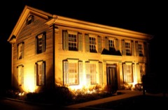 Flanders Houselisted 1991 · 0.4 miles away
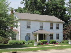 Plainfield Halfway Houselisted 1980 · 0.4 miles away
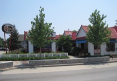 Downtown Plainfield Historic Districtlisted 2013 · 0.5 miles away
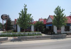 Standard Oil Gasoline Stationlisted 1984 · 0.7 miles away
Topographic sheets covering this place
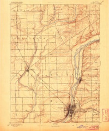
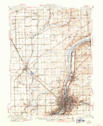
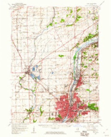
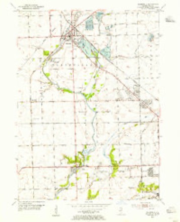
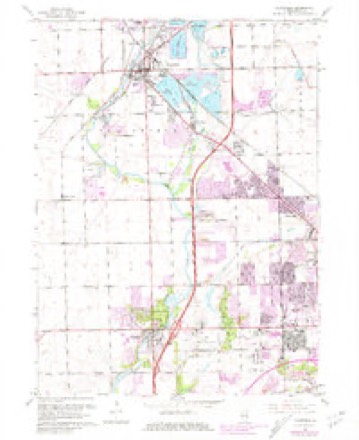
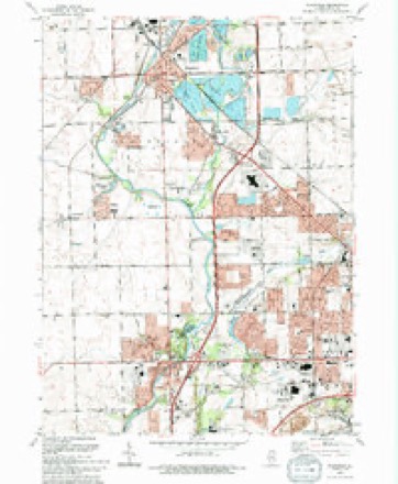
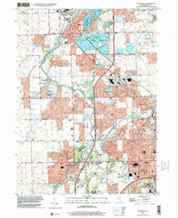
10 surveys from 23 printed sheetsMatched by testing this settlement's coordinate against the published boundary of every sheet in the United States Geological Survey's historical collection. Each opens the scanned sheet at the Survey.
- 1892 USGS Joliet quadrangle1:62500, 6 printings
- 1923 USGS Joliet quadrangle1:62500, 5 printings
- 1954 USGS Joliet quadrangle1:62500
- 1954 USGS Plainfield quadrangle1:24000
- 1958 USGS Aurora quadrangle1:250000, 3 printings
- 1961 USGS Aurora quadrangle1:250000
- 1962 USGS Plainfield quadrangle1:24000, 3 printings
- 1985 USGS Aurora quadrangle1:100000
- 1993 USGS Plainfield quadrangle1:24000
- 1998 USGS Plainfield quadrangle1:24000



In the county-history sources
1,852 words on this townshipThe History of Will County, Illinois, Containing a History of the County ... a Directory of Its Real Estate Owners; Portraits of Early Settlers and Prominent Men; General and Local Statistics ... History of Illinois ... History of the Northwest .., published 1878 names this settlement in its chapter on Plainfield Township. These are the passages that mention it, exactly as the scans read.
Plainfield is beautifully located on the east bank of the Du Page River, about one mile north of the center of the township of Plainfield, and is nine miles northwest of Joliet. Chester Ingersoll is accredited with laying out the village proper, which is sometimes termed South Plainfield, while the north division was laid out by 'Squire Arnold. He was a New Yorker, and came here in 1834; laid out the village that year, and was one of the first to keep a tavern in the place. Being a little at " loggerheads " with Ingersoll, as our informant expressed it, his addition was laid ofi" a little " catering." The meaning of the latter word was gathered while taking a stroll through the village, when we found the streets of the two sections coming together at an angle of about forty-five degrees. But even with this defect, it is a very pretty little village and claims from one thousand to twelve hundred inhabitants. James Walker put up the first dwelling within the present limits long before it was laid out as a village. It was a small log house, and was occupied by Walker some time as a residence. Ingersoll built the next house, which was soon after .the one above-mentioned. Arnold put up the first house occupied purposely as a tavern, though Walker had kept a house of entertainment previously. " Uncle Fen " Aldrich also kept a tavern here. This was one of the stopping-places on the stage-route between Chicago and Ottawa, and the half-way point between the two places, hence, it was a good place for hotels. Jonathan Hagar and Samuel Sargent opened the first store in the upper story of John Bill's wagon-shop. The next year, they put up a storehouse, which has since been converted into the Congregational parsonage. Mr. Hagar continued in business here until 1861, when he retired, and is one of the wealthy men of the place. He tells the following anecdote as an example of the pernicious effects of sowing " tares :" An old lady, one of the early settlers of the village, brought with her from the East a quantity of burdockseed, declaring it to be " such an excellent yarb," that she was bound to have a crop growing. She accordingly sowed it in every available spot. That the crop did grow, the citizens of the village can bear witness, notwithstanding their utmost efibrts to the contrary.
Passage source: The History of Will County, Illinois, Containing a History of the County ... a Directory of Its Real Estate Owners; Portraits of Early Settlers and Prominent Men; General and Local Statistics ... History of Illinois ... History of the Northwest .., published 1878.
The first schoolhouse was built in North Plainfield in 1837, and was rather, a small aifair. It was burned in 1846 or 1847, and the present two-story frame building erected, at a cost of f 1,500. Prof. Giden Bartholf is Principal, and Miss Amanda Dillman, teacher of the Primary Department. In 1851 the village was divided into two districts, and a good two-story frame house erected in the lower district, or South Plainfield, at a cost of $1,200. Prof John H. Stepman is Principal, and Mrs. M. C. Dresser, teacher of the Primary Department. The first post ofiice was established in Plainfield in 1833, and James Walker was the first Postmaster. This was one of the points on the stage route between Chicago and Ottawa, and, after coaches were put on the mail was brought to Plainfield over this route. The benighted citizens of Joliet used to come here for their mail, as opportunity occurred. This was in the good old times when Dr. Bowen was Postmaster there, and he would frequently carry the entire mail for Joliet in his hat. It would take several hats to contain the Joliet post office now, or even that of Plainfield. The present Postmaster of Plainfield is John Sennitt, who has been in the service of Uncle Sam in this department for the past ten years.
Passage source: The History of Will County, Illinois, Containing a History of the County ... a Directory of Its Real Estate Owners; Portraits of Early Settlers and Prominent Men; General and Local Statistics ... History of Illinois ... History of the Northwest .., published 1878.
Plainfield is sometimes called the "Village of Churches,' and, for a place of its size, is well supplied with temples of worship. This is one of the first spots in Will County where the sound of the Gospel was heard. Here, Father Walker established an Indian Mission, it is said, in 1826, and here, ih 1829, he formed a class composed of the following members : Jesse Walker and wife, James Walker and wife, Mr. Fish and wife, Timothy B. Claike and wife, and Mr. Weed and wife. Father Beggs, in his book, several times referred to in this work, and from which this information is taken, thinks that this was the first class formed within the bounds of the Rock River Conference, and states, further, that when the Mission* was abandoned the class was given up. In the Fall of 1832, Rev. Mr. Beggs succeeded to the charge here, with Father Walker as Presiding Elder. The first church edifice built at Plainfield was by the Methodists, and was erected in 1836. It was a rather small, plain affair, compared to the elegant stone church of the present time. In 1854, Lockport and Plainfield were united, and so remained for a number of years, until the strength of each church became sufficient to admit of their being formed into stations. The fine stone church of the Methodists was erected in 1868, and dedicated by Bishop Simpson. It is built of Plainfield stone, and cost about $22,000. The Church numbers upon her records more than three hundred members, with Rev. J. A. Phelps as Pastor, and John D. Shreffler, Superintendent of the Sunday school.
Passage source: The History of Will County, Illinois, Containing a History of the County ... a Directory of Its Real Estate Owners; Portraits of Early Settlers and Prominent Men; General and Local Statistics ... History of Illinois ... History of the Northwest .., published 1878.
Machine-read from a century-old scan, so expect the errors a machine makes: misspelled names, dropped words, stray characters.
Mines and quarries near this place
10 of 12 shownRegional context, not property-specific evidence. The federal mineral resources record lists 12 workings within 5 miles of Walker: 5 past producers, 3 plants, 3 producers, 1 occurrence. 6 still produce. What was taken out: Stone, Crushed/Broken, Sand and Gravel, Construction. Distance is straight-line from the map coordinates, so a quarry counted here may appear on a neighbouring settlement's page as well.
| Where | Site | Commodity | Status | Recorded |
|---|---|---|---|---|
| Lockport Pit/Yard 15 | Sand and Gravel, Construction | Past Producer | ||
| Patterson Pit | Sand and Gravel, Construction | Past Producer | ||
| Plainfield Pit | Sand and Gravel, Construction | Producer | ||
| Plainfield Plant & Mine | Sand and Gravel, Construction | Plant | ||
| Avery No. 2 Pit & Mill | Stone, Crushed/Broken | Plant | ||
| Avery No. 3 Pit & Mill | Stone, Crushed/Broken | Producer | ||
| Boughton Quarry & Mill | Stone, Crushed/Broken | Plant | ||
| Dupage River Quarry E.E. Hauling | Stone, Crushed/Broken | Producer | ||
| Illinois Stone Co Quarry | Stone, Crushed/Broken | Past Producer | ||
| Limestone Prospect | Stone, Crushed/Broken | Occurrence |
Storms near this place
12 since 2006Regional context, not property-specific evidence. The National Weather Service names Walker in 12 storm reports between 2006 and 2020: 7 thunderstorm wind, 4 hail, 1 tornado. No death or injury is recorded in these reports. Each account below is quoted exactly as the forecast office filed it, from the NOAA Storm Events Database, and each date opens the federal record of that event.
| When | Event | Place named | Harm | What the report says |
|---|---|---|---|---|
| June 2014 | Tornado (EF1) | Walker | $500,000 | A tornado caused damage to trees and residences between Plainfield and Romeoville. Over 50 trees, including many large softwood trees, were uprooted within a concentrated path. A dozen modest to large trees were blown to the northwest against the eastward path of the storm. Numerous roads were blocked due to fallen trees. There was minor damage to numerous residences in the Woodlands of the Reserve and Lakewood Falls subdivisions. This damage was mainly siding and shingles peeled off along with windows blown out. The tornado crossed I-55 near mile marker 261. The tornado was embedded within a larger area of straight line wind damage. Maximum winds were estimated to 95 mph. |
| June 2009 | Thunderstorm Wind | Walker | $2,000 | Route 126 was blocked between Route 59 and Lockport Street after strong winds blew over a large tree. Other tree limbs, power lines and a utility pole were also blown down. |
| August 2020 | Thunderstorm Wind | Walker | - | A wind gust to 84 mph was measured. |
| June 2019 | Thunderstorm Wind | Walker | - | The top of a large tree was blown off. |
| May 2019 | Thunderstorm Wind | Walker | - | Two utility poles were snapped along 135th Street. |
| June 2014 | Thunderstorm Wind | Walker | - | A six inch diameter tree was blown down near Naperville-Plainfield Road and 135th Street. |
| June 2010 | Thunderstorm Wind | Walker | - | A wind gust to 62 mph was measured near Route 59 and 135 Street. |
| May 2010 | Hail | Walker | - | Nickel size hail was reported near 135th Street and Plainfield Naperville Road. |
| March 2007 | Hail | Walker | - | Quarter size hail was reported at the intersection of Canton Farm Road and Wesmere Parkway. |
| October 2006 | Hail | Walker | - | Nickel size hail reported at County Line and Caton Farm Roads. |
| October 2006 | Thunderstorm Wind | Walker | - | A large tree was blown down on 135th Street. |
| October 2006 | Hail | Walker | - | Quarter to golf ball size hail was reported across much of Plainfield. Quarter size hail fell for 10 minutes at the Intersection of Route 30 at 127th Street. |
Nearest settlements
The eight closest, with where each one stands in the county. Distances are straight-line, computed from the Geographic Names Information System coordinates.
| Map | Place | Distance | Sheets |
|---|---|---|---|
| Plainfield | 0.6 miles | 23 | |
| Quail Run | 0.9 miles | 22 | |
| Wallin Woods | 1.1 miles | 23 | |
| River Edge Estates | 1.2 miles | 22 | |
| Liberty Grove | 1.3 miles | 23 | |
| Spangler Farms | 1.4 miles | 23 | |
| Prairie Knoll | 1.5 miles | 22 | |
| Harvest Glen | 1.7 miles | 22 |
Provenance
This settlement is recorded in the Geographic Names Information System as feature 420395. The sheet list is computed by point-in-boundary test against the United States Geological Survey's historical topographic inventory. Both are works of the United States government and carry no copyright under 17 U.S.C. 105.
Mines and quarries. USGS Mineral Resources Data System (MRDS) https://mrdata.usgs.gov/mrds/ A work of the United States government, no copyright under 17 U.S.C. 105.
Storms. NOAA National Centers for Environmental Information, Storm Events Database https://www.ncei.noaa.gov/stormevents/ A work of the United States government, no copyright under 17 U.S.C. 105. Narratives are quoted verbatim from the National Weather Service report and are not edited or summarised.