 Block
Walsh, Illinois
13 topographic sheets cover this place, the earliest surveyed in 1912 and the latest in 1985. It stands in Central precinct. It lies in ZIP code area 62297. The Survey maps it on the Walsh quadrangle. It stands 479 feet above sea level.
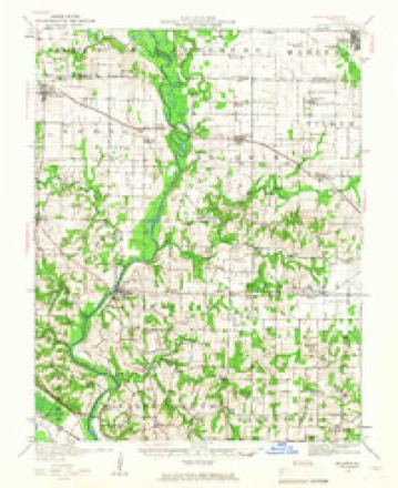
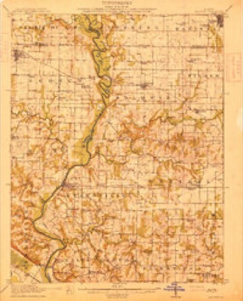
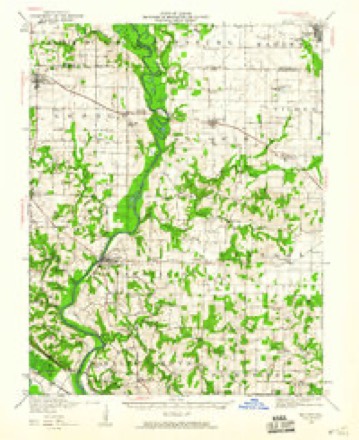
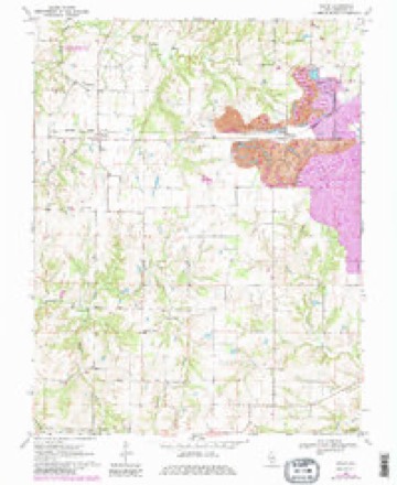
Topographic sheets covering this place
7 surveys from 13 printed sheetsMatched by testing this settlement's coordinate against the published boundary of every sheet in the United States Geological Survey's historical collection. Each opens the scanned sheet at the Survey.
- 1912 USGS Baldwin quadrangle1:62500
- 1914 USGS Baldwin quadrangle1:62500, 2 printings
- 1942 USGS Baldwin quadrangle1:62500
- 1958 USGS Belleville quadrangle1:250000, 3 printings
- 1962 USGS Belleville quadrangle1:250000
- 1970 USGS Walsh quadrangle1:24000, 3 printings
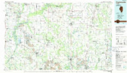
- 1985 USGS Pinckneyville quadrangle1:100000, 2 printings


Storms near this place
3 since 1995Regional context, not property-specific evidence. The National Weather Service names Walsh in 3 storm reports between 1995 and 2003: 2 hail, 1 tornado. No death or injury is recorded in these reports. Each account below is quoted exactly as the forecast office filed it, from the NOAA Storm Events Database, and each date opens the federal record of that event.
| When | Event | Place named | Harm | What the report says |
|---|---|---|---|---|
| May 2003 | Tornado (F0) | Walsh | - | A storm spotter reported a brief tornado in an open field near Walsh. |
| June 1995 | Hail | Walsh | - | Golf ball-size hail was reported in Walsh with numerous trees and power lines down between Chester and Steeleville. The roof of a drug store in Chester was partially ripped away. About 1,900 households were also without power in Prairie Du Rocher, Ruma, and Red Bud. |
| April 2002 | Hail | Walsh | - | no account filed |
Nearest settlements
The eight closest, with where each one stands in the county. Distances are straight-line, computed from the Geographic Names Information System coordinates.
| Map | Place | Distance | Sheets |
|---|---|---|---|
| Preston | 1.2 miles | 13 | |
| Schuline | 3.8 miles | 13 | |
| Evansville | 4.6 miles | 12 | |
| Houston | 6.1 miles | 12 | |
| Ellis Grove | 6.3 miles | 12 | |
| Baldwin | 6.5 miles | 12 | |
| Blair | 6.5 miles | 12 | |
| New Palestine | 6.6 miles | 23 |
Elsewhere
Matched on this settlement's Geographic Names Information System number rather than its name, so it cannot be a different place of the same name in another state.
| Wikipedia article on Walsh | An encyclopaedic summary. Its text is share-alike, so it is linked here rather than copied. |
| Wikidata item Q7963808 | The structured record the population and elevation above come from. Public domain (CC0). |
Provenance
This settlement is recorded in the Geographic Names Information System as feature 420486. The sheet list is computed by point-in-boundary test against the United States Geological Survey's historical topographic inventory. Both are works of the United States government and carry no copyright under 17 U.S.C. 105.
Storms. NOAA National Centers for Environmental Information, Storm Events Database https://www.ncei.noaa.gov/stormevents/ A work of the United States government, no copyright under 17 U.S.C. 105. Narratives are quoted verbatim from the National Weather Service report and are not edited or summarised.