 Block
Wauconda, Illinois
23 topographic sheets cover this place, the earliest surveyed in 1920 and the latest in 1998. It stands in Wauconda Township. It lies in ZIP code area 60084. The Survey maps it on the Wauconda quadrangle. 14,084 people lived here at the 2020 count. It stands 804 feet above sea level.
Population over time
2 figuresWauconda grew from 13,603 to 14,084 between 2010 and 2020. These are the recorded population figures Wikidata holds for this place, reached through the Geographic Names Information System number this page is keyed on rather than by name, so they belong to this place and not to another of the same name. Most are census counts, but not all are: an early figure may be a founding or settlement estimate, and an estimate published within five years of a census is left out. The change column is computed, and is left blank where more than 20 years separate a figure from the one before it, because a gap that long is not a change between two counts.
| Year | People | Change |
|---|---|---|
| 2010 | 13,603 | |
| 2020 | 14,084 | +481 (+4%) |
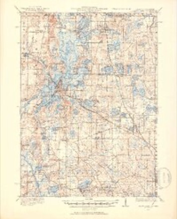
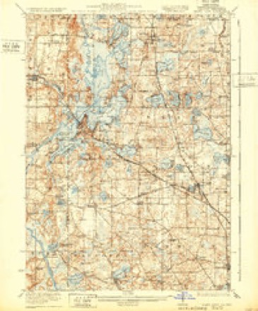
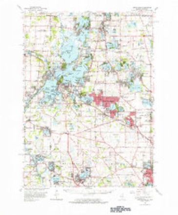
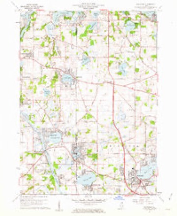
Topographic sheets covering this place
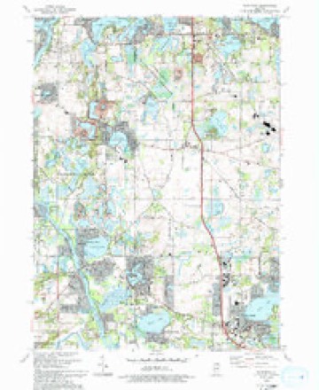
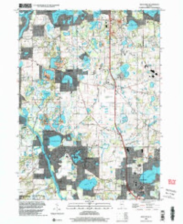
11 surveys from 23 printed sheetsMatched by testing this settlement's coordinate against the published boundary of every sheet in the United States Geological Survey's historical collection. Each opens the scanned sheet at the Survey.
- 1920 USGS Grays Lake quadrangle1:62500, 3 printings
- 1923 USGS Grays Lake quadrangle1:62500, 4 printings
- 1954 USGS Rockford quadrangle1:250000
- 1955 USGS Rockford quadrangle1:250000
- 1958 USGS Rockford quadrangle1:250000, 4 printings
- 1960 USGS Grayslake quadrangle1:62500
- 1960 USGS Wauconda quadrangle1:24000, 5 printings
- 1963 USGS Rockford quadrangle1:250000
- 1981 USGS Elgin quadrangle1:100000
- 1993 USGS Wauconda quadrangle1:24000
- 1998 USGS Wauconda quadrangle1:24000





In the county-history sources
1,405 words on this townshipThe Past and Present of Lake County, Illinois, published 1877 names this settlement in its chapter on Wauconda Township. These are the passages that mention it, exactly as the scans read.
From the abundant supply of timber in this township, it has become quite thickly settled, the population being made up of an intelligent and industrious class of farmers. It has two very flourishing villages - Wauconda and Volo. The former is located in the south part of the township, upon the west side of Bangs' Lake, on the Chicago and McHenry road. The latter is located in the north part of the town, upon the route of the old Lake and McHenry plank road. It affords two stores, a hotel, and such mechanics as are usually found in like country villages.
Passage source: The Past and Present of Lake County, Illinois, published 1877.
Justus Bangs built the first house in what is now the town of Wauconda, in 1836, on the bank of the lake which thereafter became known as Bangs' Lake. The first school in this township was taught by Mrs. Euphemia Valentine, in the Fall of 1839, in a house built for purposes of a school by R. R. Crosby and E. S. Johonnott, in the northeast part of the town, on Section 1.
Passage source: The Past and Present of Lake County, Illinois, published 1877.
The name of Wauconda was given to the township by the Commissioners, in accordance with the wishes of the inhabitants as expressed by a petition to the Commissioners, unanimously signed, and to which there was no remon¬ strance, in the following words :
Passage source: The Past and Present of Lake County, Illinois, published 1877.
Machine-read from a century-old scan, so expect the errors a machine makes: misspelled names, dropped words, stray characters.
Read the whole chapter on Wauconda Township - it names this place 9 more 9 times.
Mines and quarries near this place
3 within 5 milesRegional context, not property-specific evidence. The federal mineral resources record lists 3 workings within 5 miles of Wauconda: 2 producers, 1 past producer. 2 still produce. What was taken out: Sand and Gravel, Construction, Perlite. Distance is straight-line from the map coordinates, so a quarry counted here may appear on a neighbouring settlement's page as well.
| Where | Site | Commodity | Status | Recorded |
|---|---|---|---|---|
| Filter Materials Perlite Plant | Perlite | Producer | ||
| Reiland Pit, Dredge | Sand and Gravel, Construction | Past Producer | ||
| Rocky Road Pit | Sand and Gravel, Construction | Producer |
Storms near this place
26 since 1998Regional context, not property-specific evidence. The National Weather Service names Wauconda in 26 storm reports between 1998 and 2024: 16 thunderstorm wind, 6 hail, 3 lightning, 1 heavy rain. The reports record 7 injuries. Each account below is quoted exactly as the forecast office filed it, from the NOAA Storm Events Database, and each date opens the federal record of that event.
| When | Event | Place named | Harm | What the report says |
|---|---|---|---|---|
| May 1999 | Thunderstorm Wind | Wauconda | 7 hurt | no account filed |
| June 2011 | Lightning | Wauconda | $150,000 | A house was struck by lightning which started a fire. The home suffered severe damage and was left unhabitable. |
| April 2008 | Lightning | Wauconda | $25,000 | Lightning struck a house on Fenview Drive and blew out a four by four foot hole in the roof. The lightning also started a fire on the cedar shake roof. The fire was contained to the roof, but the house suffered water damage inside. |
| April 2008 | Lightning | Wauconda | $15,000 | Lightning struck a house on Circle Road and caused some smoke and charring in the house, as well as blowing a hole in part of the roof. |
| August 2007 | Thunderstorm Wind | Wauconda | $10,000 | Trees and power lines blown down across most of Lake County. |
| April 2016 | Hail | Wauconda | $5,000 | Golf ball size hail damaged multiple vehicles as well as a skylight in a home. |
| August 2007 | Thunderstorm Wind | Wauconda | $3,000 | Tree limbs and power lines blown down. |
| June 2017 | Thunderstorm Wind | Wauconda | $500 | A tree and power lines were blown down near Bonner Road and Madison Avenue. |
| June 2024 | Heavy Rain | Wauconda | - | Emergency management recorded 4.75 of rain near the intersection of S Main St and Ivanhoe Rd in Wauconda. |
| August 2024 | Thunderstorm Wind | Wauconda | - | In collaboration with local police and emergency management, it was determined that extensive storm damage across the northwest side of Wauconda was caused by a microburst with wind speeds of at least 80 mph. Extensive tree damage resulted in road closures and trees fell on at least two houses. Additionally, a long wooden pier snapped in half with dozens of boats attached to it at the time, causing damage to surrounding boats and to another pier. A trained spotter recorded an 80 mph gust with a handheld anemometer. Penny sized hail was also reported. |
| July 2023 | Thunderstorm Wind | Wauconda | - | Power lines were downed on US Route 12 near Old McHenry forcing a portion of the road to close and traffic to be rerouted. |
| October 2022 | Thunderstorm Wind | Wauconda | - | Wind gusts were estimated between 50 mph and 60 mph. |
| July 2021 | Thunderstorm Wind | Wauconda | - | A photo was shared on social media of tree limbs blown down. |
| August 2021 | Thunderstorm Wind | Wauconda | - | Power lines were blown down onto roads. |
| June 2019 | Thunderstorm Wind | Wauconda | - | Numerous large tree limbs were blown down, one eight inches in diameter, near Route 12 and Lake Shore Drive. |
| June 2017 | Hail | Wauconda | - | Quarter size hail was reported near Route 12 and Route 176. |
| June 2010 | Thunderstorm Wind | Wauconda | - | A one foot diameter tree was snapped off at its base near Main Street and Route 176. |
| June 2008 | Thunderstorm Wind | Wauconda | - | A 50 foot tall temporary tower was blown over. |
| June 2007 | Thunderstorm Wind | Wauconda | - | A large tree was blown down. |
| September 2007 | Thunderstorm Wind | Wauconda | - | Tree branches were blown down. |
| April 2006 | Hail | Wauconda | - | Quarter size hail was reported at Fairfield Street and Bonner Road. |
| May 2006 | Hail | Wauconda | - | Quarter size hail at IL 176 and Daryell Road. |
| October 2005 | Thunderstorm Wind | Wauconda | - | Trees were blown down near Barrington and Ivanhoe roads. Debris on Route 12 near Ivanhoe Road. |
| May 2004 | Thunderstorm Wind | Wauconda | - | Power lines and numerous trees were blown down. |
| July 2003 | Hail | Wauconda | - | no account filed |
| May 1998 | Hail | Wauconda | - | no account filed |
Nearest settlements
The eight closest, with where each one stands in the county. Distances are straight-line, computed from the Geographic Names Information System coordinates.
| Map | Place | Distance | Sheets |
|---|---|---|---|
| Tower Lake | 2.0 miles | 19 | |
| Lake Corner | 2.0 miles | 21 | |
| Williams Park | 2.4 miles | 23 | |
| Thornfield | 2.5 miles | 21 | |
| Bridlewoods | 2.6 miles | 21 | |
| Valentine Manor | 2.7 miles | 21 | |
| Mylith Park | 2.8 miles | 23 | |
| Lakewood Estates | 3.0 miles | 21 |
Elsewhere
Matched on this settlement's Geographic Names Information System number rather than its name, so it cannot be a different place of the same name in another state.
| Wikipedia article on Wauconda | An encyclopaedic summary. Its text is share-alike, so it is linked here rather than copied. |
| Wikidata item Q2670246 | The structured record the population and elevation above come from. Public domain (CC0). |
Provenance
This settlement is recorded in the Geographic Names Information System as feature 420649. The sheet list is computed by point-in-boundary test against the United States Geological Survey's historical topographic inventory. Both are works of the United States government and carry no copyright under 17 U.S.C. 105.
Mines and quarries. USGS Mineral Resources Data System (MRDS) https://mrdata.usgs.gov/mrds/ A work of the United States government, no copyright under 17 U.S.C. 105.
Storms. NOAA National Centers for Environmental Information, Storm Events Database https://www.ncei.noaa.gov/stormevents/ A work of the United States government, no copyright under 17 U.S.C. 105. Narratives are quoted verbatim from the National Weather Service report and are not edited or summarised.