 Block
Webster, Illinois
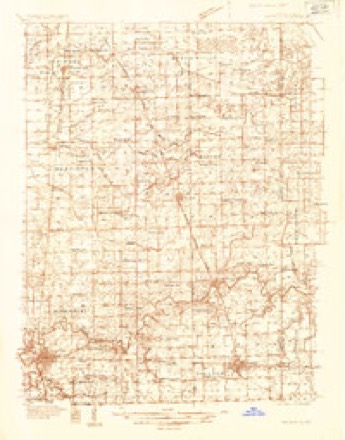
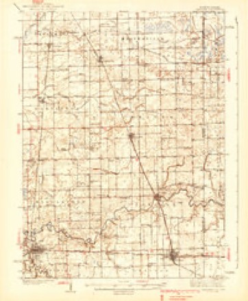
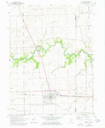
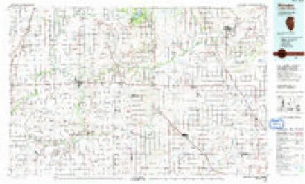
13 topographic sheets cover this place, the earliest surveyed in 1935 and the latest in 1990. It stands in Sheldon Township. It lies in ZIP code area 60966. The Survey maps it on the Sheldon quadrangle.
Topographic sheets covering this place
8 surveys from 13 printed sheetsMatched by testing this settlement's coordinate against the published boundary of every sheet in the United States Geological Survey's historical collection. Each opens the scanned sheet at the Survey.
- 1935 USGS Watseka quadrangle1:48000
- 1939 USGS Watseka quadrangle1:62500, 2 printings
- 1953 USGS Danville quadrangle1:250000, 3 printings
- 1955 USGS Danville quadrangle1:250000
- 1956 USGS Danville quadrangle1:250000
- 1964 USGS Sheldon quadrangle1:24000, 3 printings
- 1984 USGS Watseka quadrangle1:100000
- 1990 USGS Watseka quadrangle1:100000



In the county-history sources
11,431 words on this townshipHistory of Iroquois County, Together with Historic Notes on the Northwest, Gleaned from Early Authors, Old Maps and Manuscripts, Private and Official Correspondence, and Other Authentic, Though, for the Most Part, Out-of-the-way Sources, published 1880 names this settlement in its chapter on Sheldon Township. These are the passages that mention it, exactly as the scans read.
David C. Eastburn, farmer and stock-raiser, Sheldon, is a native of Sheldon township, this county. He was born August 12, 1845, and lived at home until 1862, when he enlisted in the 76th 111. Vol., and remained in the service until the close of the war. He was in the battles of Sabine Cross Roads, siege of Vicksburg, Mobile, and the other engagements of the regiment. After the war he returned home and engaged in farming. April 21, 1866, he was married to Miss Annie E. "Webster, of England. They have h' ve children, Francis H., Edith C., Barton T., John C. and William P. In 1868 he moved to his present place and has lived here since. He owns 200 acres of land, which he has earned mostly by his own labor and management.
Passage source: History of Iroquois County, Together with Historic Notes on the Northwest, Gleaned from Early Authors, Old Maps and Manuscripts, Private and Official Correspondence, and Other Authentic, Though, for the Most Part, Out-of-the-way Sources, published 1880.
Isaac H. Eastburn, farmer and stock-raiser, Sheldon, was born in Lawrence county, Ohio, December 5, 1833, and with his parents settled in Iroquois county, Illinois, in 1835. He lived with his parents until he was twenty-four years of age. February 1, 1857, he was married to
Passage source: History of Iroquois County, Together with Historic Notes on the Northwest, Gleaned from Early Authors, Old Maps and Manuscripts, Private and Official Correspondence, and Other Authentic, Though, for the Most Part, Out-of-the-way Sources, published 1880.
Dr. David Greenlee, justice of peace, Sheldon, was born in Rockbridge county, Virginia, September 7, 1807, and lived there fifteen years. He then moved to Ross county, Ohio, with his parents. He lived there until 1837, and studied medicine under Dr. S. Burnham, a classmate, at Harvard, of Daniel Webster. He afterwards moved to Highland county, and began the practice of medicine, and then moved to Adarns, thence to Defiance, and thence to Henry county. In 1869 he came to Sheldon, Illinois, and began the practice of medicine. February 24, 1847, he graduated at the medical branch of the Ohio Hudson
Passage source: History of Iroquois County, Together with Historic Notes on the Northwest, Gleaned from Early Authors, Old Maps and Manuscripts, Private and Official Correspondence, and Other Authentic, Though, for the Most Part, Out-of-the-way Sources, published 1880.
Machine-read from a century-old scan, so expect the errors a machine makes: misspelled names, dropped words, stray characters.
Read the whole chapter on Sheldon Township - it names this place 1 more 1 time.
Mines and quarries near this place
1 within 5 milesRegional context, not property-specific evidence. The federal mineral resources record lists 1 working within 5 miles of Webster: 1 past producer. None of them still produces. What was taken out: Sand and Gravel, Construction. Distance is straight-line from the map coordinates, so a quarry counted here may appear on a neighbouring settlement's page as well.
| Where | Site | Commodity | Status | Recorded |
|---|---|---|---|---|
| Hocutt Pit | Sand and Gravel, Construction | Past Producer |
Nearest settlements
The eight closest, with where each one stands in the county. Distances are straight-line, computed from the Geographic Names Information System coordinates.
Provenance
This settlement is recorded in the Geographic Names Information System as feature 423295. The sheet list is computed by point-in-boundary test against the United States Geological Survey's historical topographic inventory. Both are works of the United States government and carry no copyright under 17 U.S.C. 105.
Mines and quarries. USGS Mineral Resources Data System (MRDS) https://mrdata.usgs.gov/mrds/ A work of the United States government, no copyright under 17 U.S.C. 105.