 Block
Westville, Illinois
20 topographic sheets cover this place, the earliest surveyed in 1899 and the latest in 1987. It stands in Georgetown Township. It lies in ZIP code area 61883. The Survey maps it on the Danville SW quadrangle. 3,167 people lived here at the 2020 count. It stands 669 feet above sea level.
Population over time
2 figuresWestville fell from 3,202 to 3,167 between 2010 and 2020. These are the recorded population figures Wikidata holds for this place, reached through the Geographic Names Information System number this page is keyed on rather than by name, so they belong to this place and not to another of the same name. Most are census counts, but not all are: an early figure may be a founding or settlement estimate, and an estimate published within five years of a census is left out. The change column is computed, and is left blank where more than 20 years separate a figure from the one before it, because a gap that long is not a change between two counts.
| Year | People | Change |
|---|---|---|
| 2010 | 3,202 | |
| 2020 | 3,167 | -35 (-1%) |
Topographic sheets covering this place
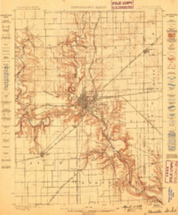
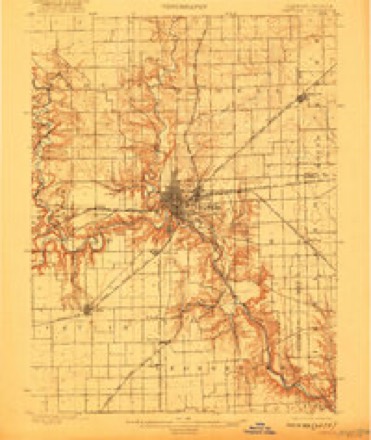
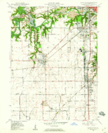
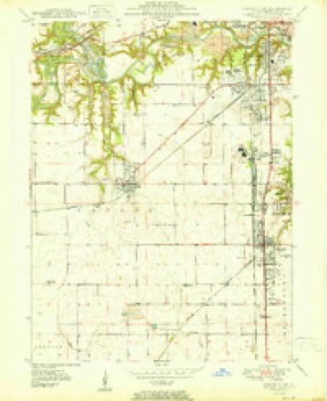
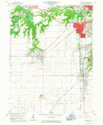
10 surveys from 20 printed sheetsMatched by testing this settlement's coordinate against the published boundary of every sheet in the United States Geological Survey's historical collection. Each opens the scanned sheet at the Survey.
- 1899 USGS Danville quadrangle1:62500
- 1900 USGS Danville quadrangle1:62500, 7 printings
- 1949 USGS Danville SW quadrangle1:24000, 2 printings
- 1950 USGS Danville SW quadrangle1:24000
- 1953 USGS Danville quadrangle1:250000, 3 printings
- 1955 USGS Danville quadrangle1:250000
- 1956 USGS Danville quadrangle1:250000
- 1966 USGS Danville SW quadrangle1:24000, 2 printings
- 1984 USGS Danville quadrangle1:100000
- 1987 USGS Danville quadrangle1:100000





In the county-history sources
29,804 words on this townshipHistory of Vermilion County, Together with Historic Notes on the Northwest, Gleaned from Early Authors, Old Maps and Manuscripts, Private and Official Correspondence, and Other Authentic, Though, for the Most Part, Out-of-the-way Sources, published 1879 names this settlement in its chapter on Georgetown Township. These are the passages that mention it, exactly as the scans read.
Georgetown township lies in that portion of the county which is south and east of the center. It is in the second tier of townships from the south boundary line of the county, and has the Indiana state line on its eastern border. It embraces all of congressional township 18 north, range 11 west, and the fraction of 18-10 which lies between the former and the state line, and six sections in the southeast corner of 18-12. The Yermilion River runs across its northeastern corner for about five miles, and so deep down is its bed that the surrounding country is easily and perfectly drained into it. The Little Vermilion makes a short turn into its southern border, running through sections 33 and 34. The "State Road," from Vincennes to Chicago, runs across the township, and the "Salt-works Road," on which the products of the salt springs were carried into eastern Indiana (long before commercial intercourse had become so perfected that salt, boiled at Syracuse, could be transported to Danville and sold cheaper than it could be made here), ran diagonally across it. The Danville & Southwestern railroad runs through the town almost parallel with the " State Road," and has on it the two stations of Georgetown and Westville.
Passage source: History of Vermilion County, Together with Historic Notes on the Northwest, Gleaned from Early Authors, Old Maps and Manuscripts, Private and Official Correspondence, and Other Authentic, Though, for the Most Part, Out-of-the-way Sources, published 1879.
The Westville Cumberland Presbyterian Church was organized on the 17th of June, 1871, by the veteran minister, Rev. W. O. Smith, with the following membership, most of whom had been members of Mount Pisgah : D. G. Lockett and wife. R. J. Black, John Cage and wife, Rachel Dukes, Sarah A. Graves, Susan J. Baldwin, Ann Sconce, Mary Lacey, Tabitha Cook, S. W. Black and wife, Sarah E. Walls, Elijah Timmons and wife. D. G. Lockett, R. J. Black and John Cage were elected elders. The society worshiped at Brooks' Point schoolhouse until February, 1877. The present church edifice, a neat and substantial building 34x48, with belfry and bell, was erected in 1876, and dedicated on the 19th of February, 1877, Rev. J. H. Hendrick preaching the dedicatory sermon. The cost of the building was $1,600. Rev. W. O. Smith continued to act as pastor for the church only one year. He was an old man, and full of faith and good works. Finding his strength failing, he resigned to go to Kentucky, the home of his childhood, to die. He had well filled up the measure of his time, and left among the people with whom and for whom he had so long labored a kind remembrance of the faithful pastor and christian teacher. His pastorate was followed by that of Rev. James Ashmore and Rev. W. R. Ilendrick. The present membership is 67. Present session, J. W. Lockett, Hiram Baldwin and A. M. Bushong. The Sabbath-school has been under the superintendency of W. D. Spencer, A. M. Bushong and J. W. Lockett, successively. It has an average attendance of fifty, with seven teachers.
Passage source: History of Vermilion County, Together with Historic Notes on the Northwest, Gleaned from Early Authors, Old Maps and Manuscripts, Private and Official Correspondence, and Other Authentic, Though, for the Most Part, Out-of-the-way Sources, published 1879.
Westville, a station on the Danville & Southwestern railroad, four miles from Georgetown, was laid out by William P. West and E. A. West, on the southeast corner of section 6, in May, 1873. Two blocks only were platted for record. Parker & Ellsworth commenced business in 1872, west of the railroad. When thev moved across to the east side, Cook & Alexander bought them out, and began a general mercantile trade. Dukes & Doops succeeded that firm, and Boone & Jumps Brothers followed them. They continued in business here only a short time, and were succeeded by J. W. Lockett & Brother, who are carrying on a fair trade in general merchandise, and bujring country produce. H. C. Myers opened a drug store in 1877, and has been succeeded by Dr. W. D. Steele, who is engaged in the practice of medicine. Jonathan Clayton commenced the blacksmith business in 1872. He died three years ago. Mr. Haller had the shop a year, and was followed by J. F. Hutchinson. The post-office was established in 1876, and S. W. Dukes was appointed first postmaster. He was succeeded by J. W. Lockett, the present incumbent. John Dukes is engaged in buying and shipping stock.
Passage source: History of Vermilion County, Together with Historic Notes on the Northwest, Gleaned from Early Authors, Old Maps and Manuscripts, Private and Official Correspondence, and Other Authentic, Though, for the Most Part, Out-of-the-way Sources, published 1879.
Machine-read from a century-old scan, so expect the errors a machine makes: misspelled names, dropped words, stray characters.
Read the whole chapter on Georgetown Township - it names this place 11 more 11 times.
Storms near this place
20 since 1994Regional context, not property-specific evidence. The National Weather Service names Westville in 20 storm reports between 1994 and 2025: 11 thunderstorm wind, 9 hail. The reports record 1 injury. Each account below is quoted exactly as the forecast office filed it, from the NOAA Storm Events Database, and each date opens the federal record of that event.
| When | Event | Place named | Harm | What the report says |
|---|---|---|---|---|
| May 1994 | Thunderstorm Wind | Westville | 1 hurt, $500,000 | Thunderstorm winds peeled the roof off an elementary school. A custodian was injured by falling debris. There was $80,000 in damages to the roof and another $10,000 in water damage. Some of the roof debris damaged nearby homes. Tree limbs were also blown down. |
| June 2009 | Thunderstorm Wind | Westville | $70,000 | Multiple trees were blown down across Vermilion County. |
| June 2018 | Thunderstorm Wind | Westville | $60,000 | Several power poles and power lines were blown down. |
| July 2014 | Thunderstorm Wind | Westville | $24,000 | Numerous trees were blown down in Westville. |
| June 2010 | Thunderstorm Wind | Westville | $15,000 | Numerous power lines were blown down. |
| April 2020 | Thunderstorm Wind | Westville | $10,000 | A semi was blown over on Highway 1 on the south end of Westville. |
| July 2014 | Thunderstorm Wind | Westville | $1,500 | A tree was blown down onto 1800E near Morey Chapel just south of Westville. |
| May 2025 | Thunderstorm Wind | Westville | - | Widespread wind damage occurred on the south side of Westville due to a downburst. The tree damage included snapped trunks, large branches broken, and trees uprooted. In addition, minor roof damage occurred to 3 homes. The wind damage extended eastward for approximately 2 miles. |
| May 2019 | Hail | Westville | - | A window was damaged due to baseball-sized hail. |
| August 2019 | Thunderstorm Wind | Westville | - | Several trees were blown down in Westville. |
| November 2005 | Thunderstorm Wind | Westville | - | Power transformer and lines blown down. |
| June 1999 | Thunderstorm Wind | Westville | - | As storms moved across Vermilion County, a tree split in half and fell onto a house in Westville causing minor damage. Also, a shed was destroyed and a camper was flipped over onto its roof. In Danville, a tree fell onto a car causing minor damage. Numerous tree limbs were blown down. No injuries were reported. |
| May 2019 | Hail | Westville | - | no account filed |
| August 2019 | Hail | Westville | - | no account filed |
| March 2016 | Hail | Westville | - | no account filed |
| June 2015 | Hail | Westville | - | no account filed |
| May 2012 | Hail | Westville | - | no account filed |
| June 2010 | Hail | Westville | - | no account filed |
| July 2004 | Hail | Westville | - | no account filed |
| April 1994 | Hail | Westville | - | no account filed |
Nearest settlements
The eight closest, with where each one stands in the county. Distances are straight-line, computed from the Geographic Names Information System coordinates.
| Map | Place | Distance | Sheets |
|---|---|---|---|
| Kellyville | 0.9 miles | 20 | |
| Unionville | 1.2 miles | 20 | |
| Belgium | 1.3 miles | 20 | |
| Midway | 1.8 miles | 20 | |
| Himrod | 2.1 miles | 19 | |
| Hegeler | 2.3 miles | 20 | |
| Brookville | 2.3 miles | 19 | |
| Grape Creek | 2.8 miles | 19 |
Elsewhere
Matched on this settlement's Geographic Names Information System number rather than its name, so it cannot be a different place of the same name in another state.
| Wikipedia article on Westville | An encyclopaedic summary. Its text is share-alike, so it is linked here rather than copied. |
| Wikidata item Q1874241 | The structured record the population and elevation above come from. Public domain (CC0). |
Provenance
This settlement is recorded in the Geographic Names Information System as feature 420973. The sheet list is computed by point-in-boundary test against the United States Geological Survey's historical topographic inventory. Both are works of the United States government and carry no copyright under 17 U.S.C. 105.
Storms. NOAA National Centers for Environmental Information, Storm Events Database https://www.ncei.noaa.gov/stormevents/ A work of the United States government, no copyright under 17 U.S.C. 105. Narratives are quoted verbatim from the National Weather Service report and are not edited or summarised.