 Block
Wheeling, Illinois
23 topographic sheets cover this place, the earliest surveyed in 1900 and the latest in 1998. It stands in Wheeling Township. It lies in ZIP code area 60090. The Survey maps it on the Wheeling quadrangle. 39,137 people lived here at the 2020 count. It stands 656 feet above sea level.
Population over time
2 figuresWheeling grew from 37,648 to 39,137 between 2010 and 2020. These are the recorded population figures Wikidata holds for this place, reached through the Geographic Names Information System number this page is keyed on rather than by name, so they belong to this place and not to another of the same name. Most are census counts, but not all are: an early figure may be a founding or settlement estimate, and an estimate published within five years of a census is left out. The change column is computed, and is left blank where more than 20 years separate a figure from the one before it, because a gap that long is not a change between two counts.
| Year | People | Change |
|---|---|---|
| 2010 | 37,648 | |
| 2020 | 39,137 | +1,489 (+4%) |
Topographic sheets covering this place
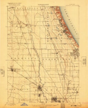
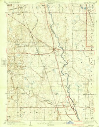
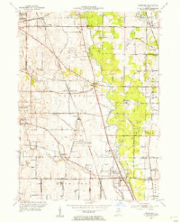
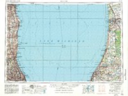
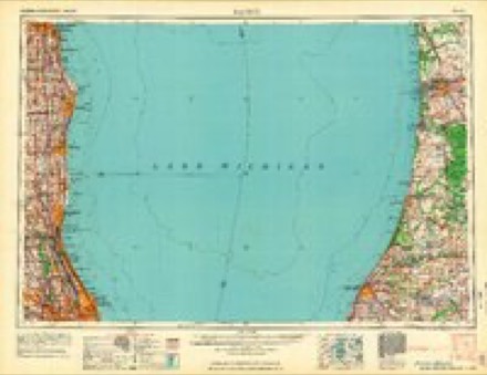
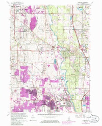
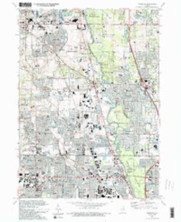
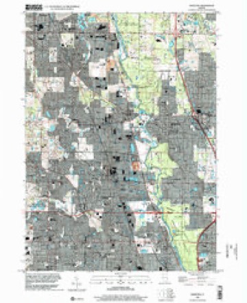
9 surveys from 23 printed sheetsMatched by testing this settlement's coordinate against the published boundary of every sheet in the United States Geological Survey's historical collection. Each opens the scanned sheet at the Survey.
- 1900 USGS Highwood quadrangle1:62500, 5 printings
- 1928 USGS Wheeling quadrangle1:24000, 4 printings
- 1953 USGS Wheeling quadrangle1:24000
- 1958 USGS Racine quadrangle1:250000, 3 printings
- 1962 USGS Racine quadrangle1:250000
- 1963 USGS Wheeling quadrangle1:24000, 5 printings
- 1980 USGS Waukegan quadrangle1:100000
- 1993 USGS Wheeling quadrangle1:24000, 2 printings
- 1998 USGS Wheeling quadrangle1:24000
In the county-history sources
68,433 words on this townshipHistory of Cook County, Illinois. From the Earliest Period to the Present Time, published 1884 names this settlement in its chapter on Wheeling Township. These are the passages that mention it, exactly as the scans read.
JACOB FUITSCII, farmer, I'. O Wheeling, was bora in Germany in 183ti, son ol Daniel and Susan Fritseh. He came to L'ook County with his parents in 1841, who located on the farm w hen- Mr. Fritseh now n-sides; his father is living, at scvenly-seveu. He owns 134 acres of land, and is engaged in farming ami dairying. In I85W he was married lo Miss Magdelena. daughter of Christian and I'rsnla Schaffer; they have three children - Daniel K., RoberUi. and Anna A. They are attendants of the Prcsbvterian Church at Wheeling. Mr. Fritseh was Constable of (Wheeling for six >ears. school director for I went v fears, and is now Justice of tin- Peace and notary public. He ha* held these offices for twelve years, and is a director of the Xorthfteld Mutual Insurance Company and a member of the Will.er .Mercantile Collection Agency, ct Chicago, and w.is Tux Collector of Wheeling for five vears.
Passage source: History of Cook County, Illinois. From the Earliest Period to the Present Time, published 1884.
M.^M'CFI'AT, phvsician and surgeon, was born in Munich, Havana, in 18.50, son of Carl and Teresa Muftal. He was educated at (he Maximilian Ludwlg University, of Munich, completing his course in 180U He was one year in the sanitarv corps of the German Army. In the fall nf 1800 he came to America, and after a short residence in Chicago located at Menominee, Wis., and engaged in practice. In 18,1 he remo* in] lo IVshtigo, Wis., and was (here during the great tire of that vear that destroyed the entire village; then went to iT.icago'ami engaged in'the drug business. In 1872 he was appointed manager of the drug depart mi nt of the Orrman A-d Society, and was in charge of the German and American Dispensary : then established the drug business of M. Jl tiff at & Co. In" 1S7!> he took a course at the Hush Medical College, in the spring of 187« locating in Wheeling, his practice extending tn some of the neighboring towns. Mr. Moffat was married in 1878 to Miss Minnie Sigwalt. They have two children - Carrie and Maximilian. He is a member of the Catholic Church.
Passage source: History of Cook County, Illinois. From the Earliest Period to the Present Time, published 1884.
J. G. SCHNF.IDKI!. veterinary surgeon, was born in the province of Rhine, Prussia, in 1827. son of John X. and Bra Schneider. He was educated for a veterinary surgeon, and served five and a half Mars in the Prussian Army. In 1H.V? he .ami- to America and located in Wheeling, Cock County, where he has since resided, engaged in the practice of his profession. He is also an insurance agent; he has the agency of the Milwaukee Mechanics' Mutual, the Addison Farmers' Mutual, of Du Page County, and the Roekford Insurance companies. Ho was married, in 1853, to Miss Maria Bier; thev have nine children - George. Kdward. Keinhold, Carl. Ma'rv. Annie. Amelia, F.innia and Alma. He is a meml>er of' the Wheeling Presbyterian Church. He has la-en Assessor of Wheeling for twenty years and school director for
Passage source: History of Cook County, Illinois. From the Earliest Period to the Present Time, published 1884.
Machine-read from a century-old scan, so expect the errors a machine makes: misspelled names, dropped words, stray characters.
Read the whole chapter on Wheeling Township - it names this place 9 more 9 times.
Fires near this place
1 since 2012Regional context, not property-specific evidence. The federal wildfire occurrence database lists 1 fire within 5 miles of Wheeling in 2012, burning about 5 acres in total. None started naturally. None was recorded as arson. Distance is straight-line from the map coordinates, so a fire counted here may appear on a neighbouring settlement's page as well.
| Reported cause | Fires |
|---|---|
| Fireworks | 1 |
The most recent of them, most recent first, with the day each was reported and the service that recorded it.
| Date | Cause | Size | Reported by | Name on the report |
|---|---|---|---|---|
| 8 July 2012 | Fireworks | 5.0 acres | Illinois Division of Forestry Resources | 12-2395-27 |
Settlements close enough to share some of these fires:
Mines and quarries near this place
3 within 5 milesRegional context, not property-specific evidence. The federal mineral resources record lists 3 workings within 5 miles of Wheeling: 2 past producers, 1 producer. 1 still produces. What was taken out: Sand and Gravel, Construction, Stone. Distance is straight-line from the map coordinates, so a quarry counted here may appear on a neighbouring settlement's page as well.
| Where | Site | Commodity | Status | Recorded |
|---|---|---|---|---|
| Deerfield Pit | Stone | Past Producer | ||
| Aptakisic Sand Corp. | Sand and Gravel, Construction | Producer | ||
| Cow Hey Pit | Sand and Gravel, Construction | Past Producer |
Storms near this place
20 since 2003Regional context, not property-specific evidence. The National Weather Service names Wheeling in 20 storm reports between 2003 and 2026: 10 thunderstorm wind, 5 hail, 4 flood, 1 heavy rain. No death or injury is recorded in these reports. Each account below is quoted exactly as the forecast office filed it, from the NOAA Storm Events Database, and each date opens the federal record of that event.
| When | Event | Place named | Harm | What the report says |
|---|---|---|---|---|
| June 2011 | Thunderstorm Wind | Wheeling | $750,000 | Wind gusts to 81 mph were measured at Chicago Executive Airport. Roof damage was reported to three hangers. Four airplanes were damaged, with two of them flipped over. Approximately 1,000 feet of fencing was destroyed. A willow tree was uprooted on Wolf Road in Wheeling. |
| March 2009 | Thunderstorm Wind | Wheeling | $50,000 | One airplane was flipped over and five other airplanes were damaged at Chicago Executive Airport. |
| January 2026 | Flood | Wheeling | - | Street flooding was reported in multiple areas in Wheeling, Prospect Heights and Mount Prospect. |
| April 2026 | Flood | Wheeling | - | The gauge on Buffalo Creek at Wheeling quickly rose to minor flood stage amid heavy rain and thunderstorms. |
| January 2025 | Flood | Wheeling | - | The river gauge on Buffalo Creek at Wheeling (WHEI2) rapidly climbed into minor flood stage late in the morning of the 31st and receded to below flood stage early that afternoon. |
| June 2024 | Thunderstorm Wind | Wheeling | - | Numerous 3 inch diameter tree branches were down in Wheeling. |
| August 2022 | Thunderstorm Wind | Wheeling | - | Large tree limbs were blown down. |
| May 2020 | Flood | Wheeling | - | Major flooding occurred along the Des Plaines River. The river crested at 19.77 feet at Des Plaines on May 18th, which is the 5th highest crest on record at Des Plaines. Flood stage at Des Plaines is 15 feet and major stage is 19 feet. |
| June 2011 | Thunderstorm Wind | Wheeling | - | A large section of a tree was blown down narrowly missing a house. |
| August 2009 | Heavy Rain | Wheeling | - | Rainfall of 2.58 inches was reported in the past 24 hours. |
| July 2008 | Thunderstorm Wind | Wheeling | - | A gust to 63 mph was measured at Chicago Executive Airport. |
| July 2005 | Thunderstorm Wind | Wheeling | - | Six inch diameter tree limbs were blown down. |
| September 2005 | Hail | Wheeling | - | Quarter size hail was reported near Lake Cook and Lexington Roads. |
| May 2004 | Thunderstorm Wind | Wheeling | - | Many trees were damaged and a chain link fence was damaged by blowing tree limbs on the 500 block of West McHenry Road. |
| April 2023 | Hail | Wheeling | - | no account filed |
| September 2014 | Thunderstorm Wind | Wheeling | - | no account filed |
| April 2014 | Hail | Wheeling | - | no account filed |
| July 2009 | Hail | Wheeling | - | no account filed |
| May 2004 | Hail | Wheeling | - | no account filed |
| May 2003 | Thunderstorm Wind | Wheeling | - | no account filed |
Nearest settlements
The eight closest, with where each one stands in the county. Distances are straight-line, computed from the Geographic Names Information System coordinates.
| Map | Place | Distance | Sheets |
|---|---|---|---|
| Buffalo Grove | 1.8 miles | 23 | |
| Forest View Estates | 2.0 miles | 23 | |
| Villas North | 2.2 miles | 23 | |
| Winschester Lane North | 2.2 miles | 23 | |
| Avanti Ridge | 2.3 miles | 23 | |
| Sanders Prairie | 2.3 miles | 23 | |
| Picardy Circle | 2.4 miles | 23 | |
| Salceca North | 2.4 miles | 23 |
Elsewhere
Matched on this settlement's Geographic Names Information System number rather than its name, so it cannot be a different place of the same name in another state.
| Wikipedia article on Wheeling | An encyclopaedic summary. Its text is share-alike, so it is linked here rather than copied. |
| Wikidata item Q935043 | The structured record the population and elevation above come from. Public domain (CC0). |
Provenance
This settlement is recorded in the Geographic Names Information System as feature 421000. The sheet list is computed by point-in-boundary test against the United States Geological Survey's historical topographic inventory. Both are works of the United States government and carry no copyright under 17 U.S.C. 105.
Wildfire. Short, Karen C. 2022. Spatial wildfire occurrence data for the United States, 1992-2020 [FPA_FOD_20221014]. 6th Edition. Fort Collins, CO: Forest Service Research Data Archive. https://doi.org/10.2737/RDS-2013-0009.6 Collected with United States Government funding and usable without additional permissions or fees.
Mines and quarries. USGS Mineral Resources Data System (MRDS) https://mrdata.usgs.gov/mrds/ A work of the United States government, no copyright under 17 U.S.C. 105.
Storms. NOAA National Centers for Environmental Information, Storm Events Database https://www.ncei.noaa.gov/stormevents/ A work of the United States government, no copyright under 17 U.S.C. 105. Narratives are quoted verbatim from the National Weather Service report and are not edited or summarised.