 Block
Wood River, Illinois
24 topographic sheets cover this place, the earliest surveyed in 1927 and the latest in 1994. It stands in Wood River Township. It lies in ZIP code area 62095. The Survey maps it on the Wood River quadrangle. 10,464 people lived here at the 2020 count. It stands 436 feet above sea level.
Population over time
2 figuresWood River fell from 10,657 to 10,464 between 2010 and 2020. These are the recorded population figures Wikidata holds for this place, reached through the Geographic Names Information System number this page is keyed on rather than by name, so they belong to this place and not to another of the same name. Most are census counts, but not all are: an early figure may be a founding or settlement estimate, and an estimate published within five years of a census is left out. The change column is computed, and is left blank where more than 20 years separate a figure from the one before it, because a gap that long is not a change between two counts.
| Year | People | Change |
|---|---|---|
| 2010 | 10,657 | |
| 2020 | 10,464 | -193 (-2%) |
Topographic sheets covering this place
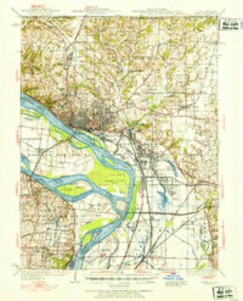
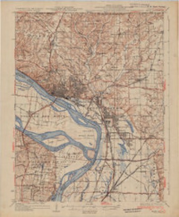
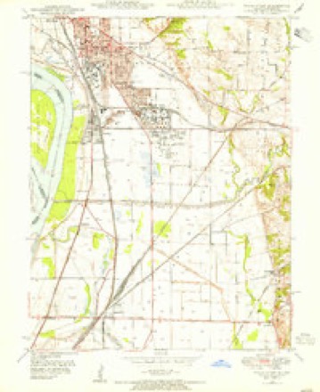
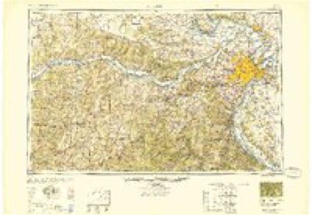
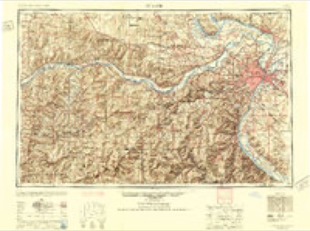
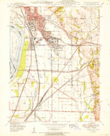
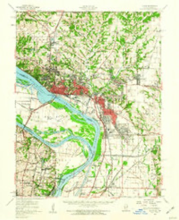
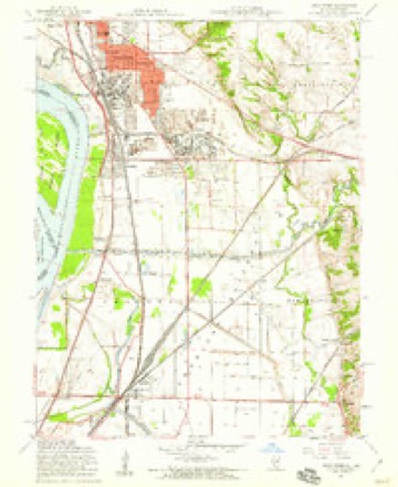
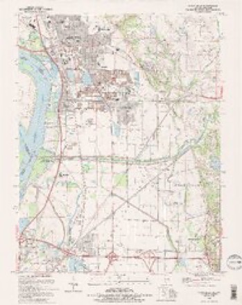
13 surveys from 24 printed sheetsMatched by testing this settlement's coordinate against the published boundary of every sheet in the United States Geological Survey's historical collection. Each opens the scanned sheet at the Survey.
- 1927 USGS Alton quadrangle1:62500
- 1934 USGS Alton quadrangle1:62500, 2 printings
- 1948 USGS Wood River quadrangle1:24000
- 1949 USGS Saint Louis quadrangle1:250000
- 1949 USGS St. Louis quadrangle1:250000
- 1951 USGS Wood River quadrangle1:24000
- 1955 USGS Alton quadrangle1:62500, 2 printings
- 1955 USGS Wood River quadrangle1:24000, 4 printings
- 1962 USGS St. Louis quadrangle1:250000
- 1963 USGS St. Louis quadrangle1:250000, 4 printings
- 1966 USGS St. Louis quadrangle1:250000
- 1985 USGS St Louis quadrangle1:100000, 3 printings
- 1994 USGS Wood River quadrangle1:24000, 2 printings
In the county-history sources
6,541 words on this townshipCentennial History of Madison County, Illinois, and Its People, 1812 to 1912, published 1912 names this settlement in its chapter on Wood River Township. These are the passages that mention it, exactly as the scans read.
Wood River township, township 5, range 9, so-called from the stream which flows through it, is one of the most important in Madison county agriculturally, industrially and socially. It is one of the oldest in the county in the way of permanent settlement, and the one in which higher education had its inception and has flowered into most pronounced development. Between the forks of Wood river lies the most beautiful stretch of country imaginable. All heavily timbered originally, but now a broad expanse of fertile farms that have yielded, for over a century, all the staple crops in profusion, and justified its selection by the argonauts as the most desirable sec¬ tion of the new land they had entered to pos¬ sess it. The township is most favorably located for commerce, agriculture and the varied industries which form so important a factor in its life. It is bounded on the north by Foster, on the east by Fort Russell, on the south by Chouteau and the Mississippi and on the west by the river and Alton township. So much of its history is involved in previous chapters that this sketch must be brief.
Passage source: Centennial History of Madison County, Illinois, and Its People, 1812 to 1912, published 1912.
The Vaughn cemetery, in section 24, where the victims of the Wood River massacre were buried, was the first regular place of inter¬ ment. It antedates the year 1809. Here the first church in the township, Baptist, was built as related elsewhere. Rev. William Jones, eminent as a legislator as well as a minister, was the first preacher. His descendants, or some of them, still live in the county and are worthy of their distinguished ancestry. In this primitive cemetery the inscriptions on various tombstones can still be deciphered. Among others appear the names of members of the Ogle, Odell and Rattan families.
Passage source: Centennial History of Madison County, Illinois, and Its People, 1812 to 1912, published 1912.
Wood River township was a pioneer in edu¬ cation as well as in religion. The first school house was located in section 4 and was built of logs. It was taught by a man named Peter Flynn. Within two miles of this first school house are now located the classic halls of Shurtleff College and the stately towers of the Western Military Academy, and also the spa¬ cious high school of Upper Alton. The mile¬ stone of progress between these two extremes are many and the roadway is marked with struggle and sacrifice, but the end crowns the work, or, as Shurtleff would phrase it, "Finis coronat opus." For sketches of Upper Al¬ ton's literary institutions see chapter XIV this volume.
Passage source: Centennial History of Madison County, Illinois, and Its People, 1812 to 1912, published 1912.
Machine-read from a century-old scan, so expect the errors a machine makes: misspelled names, dropped words, stray characters.
Read the whole chapter on Wood River Township - it names this place 7 more 7 times.
Mines and quarries near this place
6 within 5 milesRegional context, not property-specific evidence. The federal mineral resources record lists 6 workings within 5 miles of Wood River: 3 past producers, 2 producers, 1 plant. 3 still produce. What was taken out: Stone, Crushed/Broken, Sand and Gravel, Construction, Sulfur, Stone. Distance is straight-line from the map coordinates, so a quarry counted here may appear on a neighbouring settlement's page as well.
| Where | Site | Commodity | Status | Recorded |
|---|---|---|---|---|
| (Facility) Shell Oil Wood River Refinery | Sulfur | Plant | ||
| Alton Dredge | Sand and Gravel, Construction | Past Producer | ||
| Wood City Pit | Stone | Past Producer | ||
| Alton Mine | Stone, Crushed/Broken | Producer | ||
| Reliance Quarry | Stone, Crushed/Broken | Past Producer | ||
| Reliance Quarry Inc. Alton Quarry | Stone, Crushed/Broken | Producer |
Storms near this place
28 since 1996Regional context, not property-specific evidence. The National Weather Service names Wood River in 28 storm reports between 1996 and 2020: 13 thunderstorm wind, 12 hail, 1 flood, 1 flash flood. No death or injury is recorded in these reports. Each account below is quoted exactly as the forecast office filed it, from the NOAA Storm Events Database, and each date opens the federal record of that event.
| When | Event | Place named | Harm | What the report says |
|---|---|---|---|---|
| May 2011 | Thunderstorm Wind | Wood River | $15,000 | The 86 mph wind gust caused some damage to the St. Louis Regional Airport's administration building. The winds partially caved in the building's 80 foot long, 25 foot high door. It will cost about $15,000 to repair the door, if that is possible, and between $100,000 and $125,000 to replace, if necessary. In Wood River, numerous trees, power poles and power lines were blown down. A few of the trees landed on the roofs of houses. Some of the houses sustained minor to moderate roof damage because of this. Also, a dugout on the softball field at East Alton-Wood River High School had its roof blown off. No injuries were reported. |
| March 2020 | Hail | Wood River | - | A wide swath of large hail between an inch and 1.50 inches in diameter fell along the I-270/I-70 corridor in central portions of Madison County. Large hail was reported in Wood River, Roxana, Poag, Edwardsville, Glen Carbon, and Highland. |
| May 2017 | Thunderstorm Wind | Wood River | - | Thunderstorm winds blew over a large tree. |
| September 2017 | Thunderstorm Wind | Wood River | - | Thunderstorm winds caused minor damage to a store as debris was blown around, including shopping carts. |
| April 2010 | Thunderstorm Wind | Wood River | - | An eight inch diameter tree was blown down a the intersection of Illinois Routes 143 and 3. |
| May 2007 | Tornado (EF0) | Wood River | - | A weak tornado formed in an open area east of Wood River. The tornado lasted for several minutes but moved very little. A local television traffic helicopter filmed the tornado for several minutes. |
| June 2007 | Hail | Wood River | - | Storm spotters reported 3/4 inch hail southeast of Wood River. |
| October 2007 | Thunderstorm Wind | Wood River | - | A large tree was blown over, damaging two vehicles parked in a driveway. |
| April 2006 | Thunderstorm Wind | Wood River | - | Several large trees were blown down. |
| May 2004 | Thunderstorm Wind | Wood River | - | Amateur radio spotters reported trees down and a garage damaged by thunderstorm winds. |
| June 2004 | Flash Flood | Wood River | - | Heavy rain caused localized flash flooding in Wood River and surrounding areas. Route 111 had to be closed because a foot and a half of water was running over it. |
| April 2001 | Hail | Wood River | - | Storm spotters reported nickel size hail. |
| April 2000 | Hail | Wood River | - | Storm spotters reported 3/4 inch hail. |
| June 2000 | Hail | Wood River | - | Amateur radio spotters reported 3/4 inch hail. |
| April 2018 | Hail | Wood River | - | no account filed |
| September 2017 | Hail | Wood River | - | no account filed |
| May 2011 | Thunderstorm Wind | Wood River | - | no account filed |
| April 2010 | Hail | Wood River | - | no account filed |
| May 2009 | Hail | Wood River | - | no account filed |
| April 2007 | Hail | Wood River | - | no account filed |
| April 2006 | Hail | Wood River | - | no account filed |
| August 2005 | Thunderstorm Wind | Wood River | - | no account filed |
| May 2004 | Thunderstorm Wind | Wood River | - | no account filed |
| June 2000 | Thunderstorm Wind | Wood River | - | no account filed |
| August 2000 | Flood | Wood River | - | no account filed |
| July 1999 | Thunderstorm Wind | Wood River | - | no account filed |
| June 1998 | Thunderstorm Wind | Wood River | - | no account filed |
| May 1996 | Hail | Wood River | - | no account filed |
Nearest settlements
The eight closest, with where each one stands in the county. Distances are straight-line, computed from the Geographic Names Information System coordinates.
| Map | Place | Distance | Sheets |
|---|---|---|---|
| Roxana | 1.4 miles | 24 | |
| East Alton | 1.5 miles | 23 | |
| Rosedale | 1.7 miles | 23 | |
| Hartford | 1.9 miles | 24 | |
| Rosewood Heights | 2.0 miles | 23 | |
| Oakwood Heights | 2.1 miles | 23 | |
| Ivy Heights | 2.1 miles | 24 | |
| South Roxana | 2.9 miles | 24 |
Elsewhere
Matched on this settlement's Geographic Names Information System number rather than its name, so it cannot be a different place of the same name in another state.
| Wikipedia article on Wood River | An encyclopaedic summary. Its text is share-alike, so it is linked here rather than copied. |
| Wikidata item Q185601 | The structured record the population and elevation above come from. Public domain (CC0). |
Provenance
This settlement is recorded in the Geographic Names Information System as feature 421410. The sheet list is computed by point-in-boundary test against the United States Geological Survey's historical topographic inventory. Both are works of the United States government and carry no copyright under 17 U.S.C. 105.
Mines and quarries. USGS Mineral Resources Data System (MRDS) https://mrdata.usgs.gov/mrds/ A work of the United States government, no copyright under 17 U.S.C. 105.
Storms. NOAA National Centers for Environmental Information, Storm Events Database https://www.ncei.noaa.gov/stormevents/ A work of the United States government, no copyright under 17 U.S.C. 105. Narratives are quoted verbatim from the National Weather Service report and are not edited or summarised.