 Block
Woodridge, Illinois
24 topographic sheets cover this place, the earliest surveyed in 1892 and the latest in 1998. It stands in Lisle Township. It lies in ZIP code area 60517. The Survey maps it on the Romeoville quadrangle. 34,158 people lived here at the 2020 count. It stands 732 feet above sea level.
Population over time
2 figuresWoodridge grew from 32,971 to 34,158 between 2010 and 2020. These are the recorded population figures Wikidata holds for this place, reached through the Geographic Names Information System number this page is keyed on rather than by name, so they belong to this place and not to another of the same name. Most are census counts, but not all are: an early figure may be a founding or settlement estimate, and an estimate published within five years of a census is left out. The change column is computed, and is left blank where more than 20 years separate a figure from the one before it, because a gap that long is not a change between two counts.
| Year | People | Change |
|---|---|---|
| 2010 | 32,971 | |
| 2020 | 34,158 | +1,187 (+4%) |
Topographic sheets covering this place
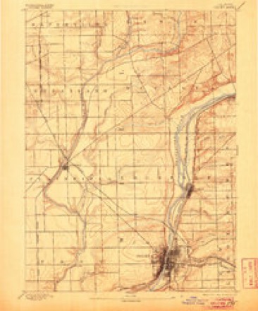
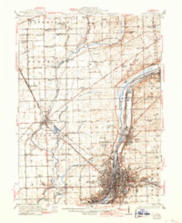
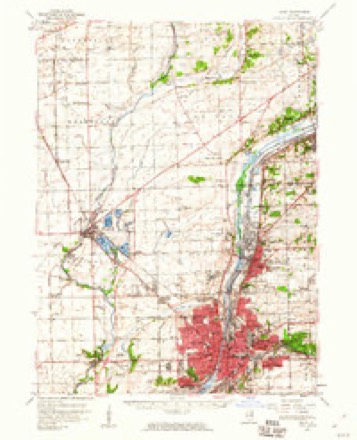
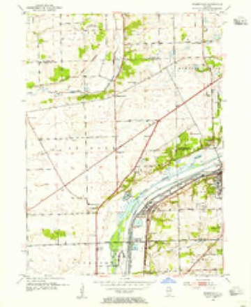
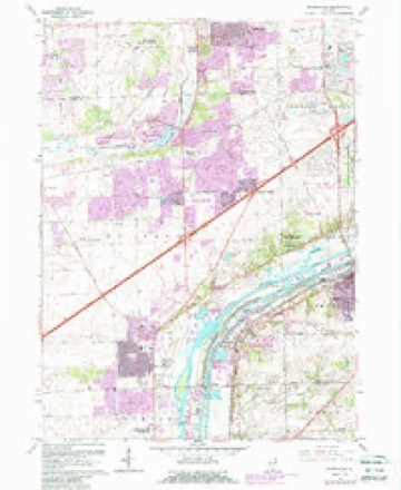
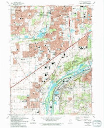
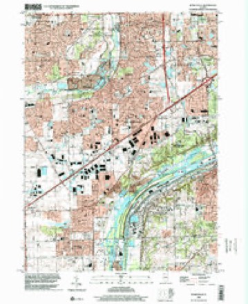
10 surveys from 24 printed sheetsMatched by testing this settlement's coordinate against the published boundary of every sheet in the United States Geological Survey's historical collection. Each opens the scanned sheet at the Survey.
- 1892 USGS Joliet quadrangle1:62500, 6 printings
- 1923 USGS Joliet quadrangle1:62500, 5 printings
- 1954 USGS Joliet quadrangle1:62500
- 1954 USGS Romeoville quadrangle1:24000
- 1958 USGS Aurora quadrangle1:250000, 3 printings
- 1961 USGS Aurora quadrangle1:250000
- 1962 USGS Romeoville quadrangle1:24000, 4 printings
- 1985 USGS Aurora quadrangle1:100000
- 1993 USGS Romeoville quadrangle1:24000
- 1998 USGS Romeoville quadrangle1:24000



Fires near this place
2 since 2020Regional context, not property-specific evidence. The federal wildfire occurrence database lists 2 fires within 5 miles of Woodridge in 2020, burning about 2 acres in total. None started naturally. None was recorded as arson. Distance is straight-line from the map coordinates, so a fire counted here may appear on a neighbouring settlement's page as well.
| Reported cause | Fires |
|---|---|
| Missing data/not specified/undetermined | 2 |
The most recent of them, most recent first, with the day each was reported and the service that recorded it.
| Date | Cause | Size | Reported by | Name on the report |
|---|---|---|---|---|
| 5 May 2020 | Missing data/not specified/undetermined | under an acre | Illinois Division of Forestry Resources | 20-0000918 |
| 1 October 2020 | Missing data/not specified/undetermined | 1.0 acres | Illinois Division of Forestry Resources | 20-0002295 |
Settlements close enough to share some of these fires:
Mines and quarries near this place
9 within 5 milesRegional context, not property-specific evidence. The federal mineral resources record lists 9 workings within 5 miles of Woodridge: 7 past producers, 1 occurrence, 1 plant. 1 still produces. What was taken out: Stone, Crushed/Broken, Stone, Sand and Gravel, Construction. Distance is straight-line from the map coordinates, so a quarry counted here may appear on a neighbouring settlement's page as well.
| Where | Site | Commodity | Status | Recorded |
|---|---|---|---|---|
| Downers Grove City Pit | Stone | Past Producer | ||
| Kugler Pit | Sand and Gravel, Construction | Past Producer | ||
| Naperville City Eng. Pit | Stone | Past Producer | ||
| Yackley Pit | Sand and Gravel, Construction | Past Producer | ||
| Barbers Corners Plant | Stone, Crushed/Broken | Plant | ||
| Barbers Corners Quarry & Mill | Stone, Crushed/Broken | Past Producer | ||
| Barge Slip Quarry | Stone, Crushed/Broken | Past Producer | ||
| Limestone Prospect | Stone, Crushed/Broken | Occurrence | ||
| Unnamed Limestone Quarry | Stone, Crushed/Broken | Past Producer |
Storms near this place
41 since 2004Regional context, not property-specific evidence. The National Weather Service names Woodridge in 41 storm reports between 2004 and 2026: 16 thunderstorm wind, 13 hail, 6 flood, 4 flash flood. No death or injury is recorded in these reports. Each account below is quoted exactly as the forecast office filed it, from the NOAA Storm Events Database, and each date opens the federal record of that event.
| When | Event | Place named | Harm | What the report says |
|---|---|---|---|---|
| September 2008 | Flash Flood | Woodridge | $8,000,000 | Flash flooding or significant flooding was reported across most of Dupage County, including street closures due to flooding, basement flooding and creek, stream and river flooding. A few of the more extensive flooding reports included the West Branch of the Dupage River in and near Warrenville, in Addison where 1,800 people had to be evacuated, along Salt Creek in Villa Park and 300 houses were affected by flooding in Carol Stream. Numerous vehicles were also reported stalled or abandoned in flood waters. |
| December 2008 | Flash Flood | Woodridge | $1,000,000 | A combination of melting snow and heavy rain caused flash flooding across much of Dupage County. Basement flooding was reported in Naperville, Addison and Elmhurst. Many streets were closed due to flooding in Wheaton, Westmont, Glen Ellyn, Downers Grove, Carol Stream, Naperville, Villa Park, Lisle, Warrenville, and Willowbrook. Stormtotal rainfall amounts included 2.19 inches near Downers Grove, 1.95 inches near Westmont, 1.95 inches near Wheaton, 1.82 inches near Lisle and 1.66 inches near Carol Stream. |
| September 2013 | Thunderstorm Wind | Woodridge | $1,000 | Power lines were blown down. |
| March 2026 | Hail | Woodridge | - | Numerous hail reports came out of southeastern DuPage County, mostly in the vicinity of Woodridge and Darien. Sizes ranged from 1 to 4 inches in diameter, though most of the reports were greater than 2.5 inches. Three separate reports of 4 inch hail were received out of this area. |
| July 2025 | Thunderstorm Wind | Woodridge | - | Large tree limbs and power lines were blown down. Damage to gutters and siding was reported to some homes. |
| July 2025 | Thunderstorm Wind | Woodridge | - | A photo showed a 10 inch diameter tree snapped at its base on Taylor Drive. |
| August 2025 | Flash Flood | Woodridge | - | In Downers Grove, 6 to 8 inches of water were reported flowing over Belmont Rd near 59th St. Street flooding was also reported near 55th St via mPing. |
| August 2025 | Flash Flood | Woodridge | - | Numerous reports of flooded yards and roadways came out of Woodridge, Downers Grove, and Westmont. Three separate private weather stations in the area recorded between 2.76 and 3.12 inches of rain between roughly 2 PM and 5 PM CST, most of which fell in a one hour period between 3:45 and 4:45 PM. |
| February 2024 | Hail | Woodridge | - | An NWS employee observed 1 hail in Downers Grove. |
| February 2024 | Hail | Woodridge | - | A photo shared via social media showed hail roughly the size of hen eggs between Downers Grove and Darien. |
| June 2024 | Thunderstorm Wind | Woodridge | - | Trees were reported down on the east side of Naperville. |
| July 2024 | Thunderstorm Wind | Woodridge | - | Wind gusts were estimated to be at least 60 mph. Tree limbs 6 to 12 inches in diameter were blown down. |
| August 2024 | Thunderstorm Wind | Woodridge | - | A photo shared via social media showed a large tree limb snapped and dangling from the tree in Woodridge. |
| July 2023 | Thunderstorm Wind | Woodridge | - | An NWS employee reported a 6 inch diameter branch down at Wehrli and Lisson Roads. |
| July 2023 | Heavy Rain | Woodridge | - | An NWS employee recorded 1.7 inches of rain in a 30 minute period. |
| April 2022 | Thunderstorm Wind | Woodridge | - | A photo shared on social media showed a large pine tree that was uprooted along Hobson Road between Double Eagle Drive and Green Road. |
| May 2020 | Flood | Woodridge | - | After heavy rain and flash flooding on May 17th, flooding continued on May 18th across many areas in DuPage County. |
| November 2020 | Thunderstorm Wind | Woodridge | - | Wind gusts were estimated between 60 mph and 70 mph. |
| August 2019 | Thunderstorm Wind | Woodridge | - | Numerous tree limbs were blown down along Lemont Road between 75th Street and 87th Street. |
| August 2018 | Thunderstorm Wind | Woodridge | - | A one foot diameter tree was uprooted at 75th Street and Lemont Road. Sporadic small tree limbs were blown down between 75th and 87th Streets. |
| August 2015 | Hail | Woodridge | - | Nickel size hail was reported near 75th Street and Lemont Road. |
| August 2015 | Thunderstorm Wind | Woodridge | - | A 12 inch diameter tree was blown down near Lemont Road and Woodmere Drive. |
| August 2015 | Tornado (EF0) | Woodridge | - | This is a continuation of a tornado that began in Will County. A tornado touched down in extreme southeast Naperville, and several hardwood trees were snapped or damaged and a softwood tree uprooted. Maximum winds were estimated at 80 mph. |
| November 2012 | Hail | Woodridge | - | Hail fell at 83rd and Ashbury. |
| August 2011 | Hail | Woodridge | - | Up to penny size hail fell across portions of Woodridge, including near the intersection of 75th Street and Woodridge Drive. |
| June 2010 | Thunderstorm Wind | Woodridge | - | Tree limbs up to seven inches in diameter were blown down near Route 53 and 83rd Street. A metal chimney was separated from a two story apartment building. |
| June 2010 | Thunderstorm Wind | Woodridge | - | Wind gusts were estimated to 70 mph near 75th Street and Lemont Road. |
| March 2009 | Flood | Woodridge | - | Flooding occurred across many areas in Dupage County. In Downers Grove, Webster Creek overflowed its banks; Basement flooding was reported; Fairview at Maple and Prairie was closed due to flooding; Five inches of standing water was reported on 63rd Street, east of Woodward. In Carol Stream, Klein Creek overflowed its banks with street flooding reported. In Wheaton, Main Street was flooded north of Route 38. |
| February 2009 | Flood | Woodridge | - | After heavy rain and flash flooding late in the evening of February 26th and early in the morning of February 27th, flooding continued across many parts of Dupage County, especially along creeks, streams and rivers. |
| June 2009 | Thunderstorm Wind | Woodridge | - | A tree was blown down on the center median on 75th Street. |
| December 2008 | Flood | Woodridge | - | After heavy rain and melting snow caused widespread flooding and flash flooding across Dupage County on December 27th, flooding continued on December 28th as flood waters slowly receded. |
| September 2008 | Flood | Woodridge | - | Widespread flooding across parts of Dupage County slowly receded through September 17th. |
| September 2008 | Flood | Woodridge | - | After heavy rain and flash flooding across much of Dupage County from the early morning through the afternoon of September 13th, flooding continued across many locations through the evening hours and into the early morning hours of September 14th, when another wave of heavy rain moved across the area. |
| March 2005 | Hail | Woodridge | - | Golf ball sized hail was reported at the intersection of Interstate 355 and 75th St. |
| July 2004 | Thunderstorm Wind | Woodridge | - | Tree limbs were down at the intersection of Rt. 53 and 75th St. |
| August 2025 | Hail | Woodridge | - | no account filed |
| May 2014 | Hail | Woodridge | - | no account filed |
| June 2013 | Hail | Woodridge | - | no account filed |
| June 2009 | Hail | Woodridge | - | no account filed |
| July 2008 | Hail | Woodridge | - | no account filed |
| August 2008 | Hail | Woodridge | - | no account filed |
Nearest settlements
The eight closest, with where each one stands in the county. Distances are straight-line, computed from the Geographic Names Information System coordinates.
| Map | Place | Distance | Sheets |
|---|---|---|---|
| Darien | 2.5 miles | 24 | |
| Belmont | 3.2 miles | 21 | |
| Lisle | 4.0 miles | 21 | |
| Lace | 4.4 miles | 23 | |
| Downers Grove | 4.8 miles | 21 | |
| Westmont | 5.2 miles | 23 | |
| Tedens (historical) | 5.5 miles | 26 | |
| Naperville | 5.8 miles | 20 |
Elsewhere
Matched on this settlement's Geographic Names Information System number rather than its name, so it cannot be a different place of the same name in another state.
| Wikipedia article on Woodridge | An encyclopaedic summary. Its text is share-alike, so it is linked here rather than copied. |
| Wikidata item Q1020589 | The structured record the population and elevation above come from. Public domain (CC0). |
Provenance
This settlement is recorded in the Geographic Names Information System as feature 422171. The sheet list is computed by point-in-boundary test against the United States Geological Survey's historical topographic inventory. Both are works of the United States government and carry no copyright under 17 U.S.C. 105.
Wildfire. Short, Karen C. 2022. Spatial wildfire occurrence data for the United States, 1992-2020 [FPA_FOD_20221014]. 6th Edition. Fort Collins, CO: Forest Service Research Data Archive. https://doi.org/10.2737/RDS-2013-0009.6 Collected with United States Government funding and usable without additional permissions or fees.
Mines and quarries. USGS Mineral Resources Data System (MRDS) https://mrdata.usgs.gov/mrds/ A work of the United States government, no copyright under 17 U.S.C. 105.
Storms. NOAA National Centers for Environmental Information, Storm Events Database https://www.ncei.noaa.gov/stormevents/ A work of the United States government, no copyright under 17 U.S.C. 105. Narratives are quoted verbatim from the National Weather Service report and are not edited or summarised.