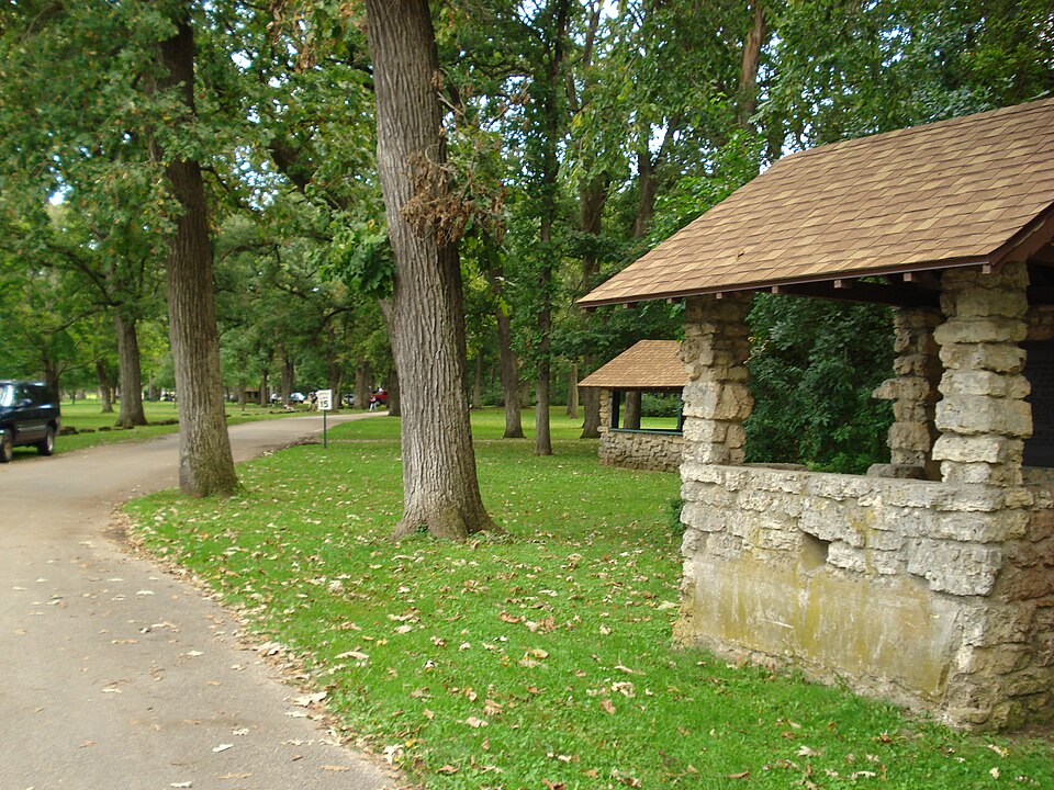
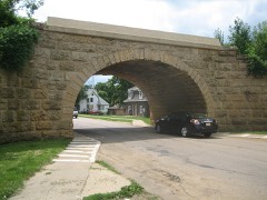
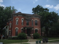
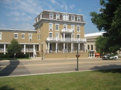
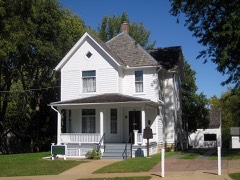
Listed on the National Register of Historic Places in 2006.
From the record
“Lowell Park is a 200-acre municipal park located along the Rock River in northern Dixon, Illinois. It is listed on the National Register of Historic Places (NRHP) for its significance in American landscape design, specifically as an exemplar of the Prairie Style park movement.”
Wikipedia article Lowell Park (Dixon, Illinois), CC BY-SA 4.0.
One of 10 National Register listings published here for Lee County · listed in 2006 · category: District.
National Register reference number.06000680- the number the National Park Service assigned this property when it was listed, and the key its nomination file is catalogued under at the National Archives.
What happened here
An account from the chapter on Dixon township. The inset identifies its exact
source book and publication year.
The month of July had not passed, however, before the rejoicing of Independence day was shrouded in the deepest lamentation for those who had fallen victims to the cholera scourge of that year of sad memory. A writer of July 27, 1854, referring to this epidemic, said, " Death in its most frightful form swept through our heretofore healthy town like an avalanche, carrying away within twenty-four hours eighteen souls.
The old settle!s are pissing away, and with them many interesting facts in regard to the early history of our town are lost to our citizens. It is proper that in this, the fiftieth anniversary year of the founding of our town by the honored John Dixon, there should be gathered together, as far as it is now possi¬ ble, a record of' all the events of interest relating to the history of the place, from the earliest settlement to the present time, and that the results of this labor be published to the citizens of Dixon in such a shape that these facts and remin¬ iscences shall be preserved for their benefit and entertainment, and for the infor¬ mation of future residents of this beautiful city.
In the year 1828, a half breed named Joseph Ogee, built a log cabin and established a ferry icross Bock river at the present site of Dixon A license was granted him ty keep this ferry, Dec 7,1829 by Jo Davies connty, under whose jurisdic lion this section then was.
Regional context, not property-specific
evidence. The
federal wildfire occurrence database
lists 1 fire within 5 miles of Lowell Park
in 2011, burning about 1 acre in total. None started naturally. None was recorded as arson.
Distance is straight-line from the map coordinates, so a fire counted
here may appear on a neighbouring settlement's page as well.
Reported cause
Fires
Missing data/not specified/undetermined
1
The most recent of
them, most recent first, with the day each was reported and the service
that recorded it.
Regional context, not property-specific
evidence. The federal mineral resources record lists
31 workings within 5 miles of Lowell Park: 24 past producers, 4 occurrences, 3 producers.
3 still produce. What was taken out: Stone, Crushed/Broken, Sand and Gravel, Construction, Limestone, General. Distance is straight-line from the
map coordinates, so a quarry counted here may appear on a neighbouring
settlement's page as well.
Regional context, not property-specific
evidence. The National Weather Service names
Dixon, the town this property stands in, in 59 storm reports between 1995 and 2026: 33 thunderstorm wind, 20 hail, 2 lightning, 1 tornado.
No death or injury is recorded in these reports. Each account below is quoted exactly as the forecast office
filed it, from the NOAA Storm Events Database, and each date
opens the federal record of that event.
Photos shared on social media showed a storage shed that had been destroyed with debris blown across a 2 to 4 block area, including a large section of the shed landing on the roof of a house near the intersection of 2nd Street and College Avenue.
Route 26 and Route 52 closed due to water up to 2 feet deep. Businesses nearby flooded. Numerous streets across Dixon flooded. Three to five inches of rain fell. Lowell Park Road was closed due to flooding. Many ditches filled with water.
Two separate reports were received from just north of Dixon of wind gusts to 74 mph. Multiple large trees and power lines were blown down across the area.
A swath of hail cut across Lee County, beginning at 6 miles south of Polo or 6 miles northwest of Dixon, through Dixon, Amboy, Sublette to 1 mile south of Sublette. Large hail was observed throughout this path. The following reports were received:4.00 inches in diameter, was observed by a Farm Service Agent 1 mile south of Sublette. 2.00 and 1.25 inch hail was observed in the town of Sublette. 1.00 inch hail in Amboy2.75 inch hail in Amboy by law enforcement0.88 inch hail 6 miles south of Polo0.75 inch hail in Dixon
No historic map-sheet match is published
for this property yet. That does not mean no map exists. This record needs
a coordinate-quality review before it can be joined to a sheet boundary.
Browse the county's mapped places while that work is
pending.
Listed places nearby
6 within 8 miles
Other National Register properties close
enough to walk or drive between, ordered by distance from this one. Both
positions come from the same geocoding pass that matched these properties
to their map sheets.
Listing record. National Park Service National Register of Historic Places, listed-properties dataset, current to 2026-05-22.
Map join. Address geocoded through the United States Census geocoder, then tested against the published boundary of every sheet in the USGS Historical Topographic Map Collection.
How this page is made. Listing fields come from federal records; map-sheet coverage is a labelled coordinate-to-boundary calculation, not a source-field claim.
Wildfire. Short, Karen C. 2022. Spatial wildfire occurrence data for the United States, 1992-2020 [FPA_FOD_20221014]. 6th Edition. Fort Collins, CO: Forest Service Research Data Archive. https://doi.org/10.2737/RDS-2013-0009.6 Collected with United States Government funding and usable without additional permissions or fees.
Mines and quarries. USGS Mineral Resources Data System (MRDS) https://mrdata.usgs.gov/mrds/ A work of the United States government, no copyright under 17 U.S.C. 105.
Storms. NOAA National Centers for Environmental Information, Storm Events Database https://www.ncei.noaa.gov/stormevents/ A work of the United States government, no copyright under 17 U.S.C. 105. Narratives are quoted verbatim from the National Weather Service report and are not edited or summarised.
 Block