 Block
From the record
One of 24 National Register listings published here for Coles County · listed in 2014 · category: Site.
Sources: the National Register database, National Park Service
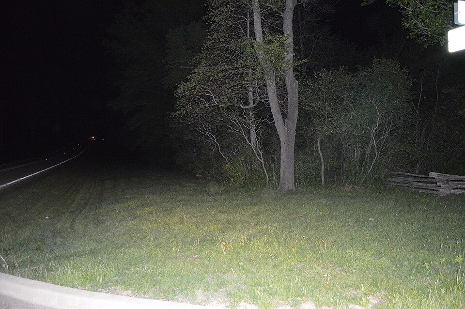
Listed on the National Register of Historic Places in 2014.
One of 24 National Register listings published here for Coles County · listed in 2014 · category: Site.
Sources: the National Register database, National Park Service
This property stands in Pleasant Grove Township. The History of Coles County, Illinois ... Map of Coles County; History of Illinois ... History of Northwest ... Constitution of the United States, Miscellaneous Matters, &c., &c, published 1879 gives that township a chapter of its own.
The chapter covers the township.
Machine-read from a century-old scan, so expect the errors a machine makes: misspelled names, dropped words, stray characters.
Read the whole chapter on Pleasant Grove Township - 25,778 words on its settlement, mills, schools and churches.
Regional context, not property-specific evidence. The federal wildfire occurrence database lists 2 fires within 5 miles of Civilian Conservation Corps Camp Shiloh Encampment Site between 2015 and 2019, burning about 1 acre in total. None started naturally. None was recorded as arson. Distance is straight-line from the map coordinates, so a fire counted here may appear on a neighbouring settlement's page as well.
| Reported cause | Fires |
|---|---|
| Debris and open burning | 2 |
The most recent of them, most recent first, with the day each was reported and the service that recorded it.
| Date | Cause | Size | Reported by | Name on the report |
|---|---|---|---|---|
| 27 March 2019 | Debris and open burning | under an acre | Illinois Division of Forestry Resources | 2019-63 |
| 24 March 2015 | Debris and open burning | under an acre | Illinois Division of Forestry Resources | 1303241 |
Regional context, not property-specific evidence. The federal mineral resources record lists 4 workings within 5 miles of Civilian Conservation Corps Camp Shiloh Encampment Site: 2 past producers, 1 occurrence, 1 producer. 1 still produces. What was taken out: Sand and Gravel, Construction, Stone, Crushed/Broken. Distance is straight-line from the map coordinates, so a quarry counted here may appear on a neighbouring settlement's page as well.
| Where | Site | Commodity | Status | Recorded |
|---|---|---|---|---|
| Limestone Prospect | Stone, Crushed/Broken | Occurrence | ||
| C&H Gravel Pit #1 | Sand and Gravel, Construction | Past Producer | ||
| East Pit | Sand and Gravel, Construction | Past Producer | ||
| Greenup Sand & Gravel | Sand and Gravel, Construction | Producer |
Regional context, not property-specific evidence. The National Weather Service names Lerna, the town this property stands in, in 13 storm reports between 1997 and 2024: 7 hail, 6 thunderstorm wind. No death or injury is recorded in these reports. Each account below is quoted exactly as the forecast office filed it, from the NOAA Storm Events Database, and each date opens the federal record of that event.
| When | Event | Place named | Harm | What the report says |
|---|---|---|---|---|
| April 1997 | Thunderstorm Wind | Lerna | $126,000 | A line of severe thunderstorms moved across Coles County causing a lot of damage. Three miles southeast of Lerna a machine shed, a small storage shed, and a grain bin were destroyed. Also, a motor home, several vehicles, and a house roof sustained minor damage. Numerous trees and tree limbs were blown down as well. At the same time in the Bushton, Fairgrange, and Charleston areas, several trees were blown down, with one causing minor damage to a building. Also, a barn roof and a grain bin were destroyed. As the storms moved further east, winds blew down numerous trees and tree limbs in the Ashmore area. One tree fell onto a house causing $1,000 in damage and several trees in the local cemetery fell, damaging some grave markers. Also, two large barns were destroyed 2 miles south of Ashmore and numerous homes and other farm buildings sustained minor damage. No injuries were reported and damage was estimated around $125,950. |
| June 2008 | Thunderstorm Wind | Lerna | $40,000 | A mobile home was destroyed. |
| August 2012 | Thunderstorm Wind | Lerna | $35,000 | Numerous trees and power lines were blown down in Lerna. |
| August 2009 | Thunderstorm Wind | Lerna | $28,000 | Several trees were blown down in Lerna. One tree fell on a car, while two others fell on houses, causing roof damage. |
| June 2011 | Thunderstorm Wind | Lerna | $20,000 | Numerous tree limbs and power lines were blown down in Lerna. |
| June 2023 | Thunderstorm Wind | Lerna | - | A trained spotter estimated a wind gust of 80 mph. A large tree was blown down in his front yard. |
| March 2024 | Hail | Lerna | - | no account filed |
| April 2011 | Hail | Lerna | - | no account filed |
| April 2011 | Hail | Lerna | - | no account filed |
| May 2011 | Hail | Lerna | - | no account filed |
| June 2010 | Hail | Lerna | - | no account filed |
| June 2008 | Hail | Lerna | - | no account filed |
| February 1999 | Hail | Lerna | - | no account filed |
No historic map-sheet match is published for this property yet. That does not mean no map exists. This record needs a coordinate-quality review before it can be joined to a sheet boundary. Browse the county's mapped places while that work is pending.
Other National Register properties close enough to walk or drive between, ordered by distance from this one. Both positions come from the same geocoding pass that matched these properties to their map sheets.
| Photograph | Property | Distance | Listed |
|---|---|---|---|
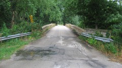 | Blakeman Bridge | 5.6 miles | 1981 |
 | Pemberton Hall and Gymnasium | 6.6 miles | 1982 |
| Lumpkin Heights and Elm Ridge Subdivision Historic District | 6.8 miles | 2017 | |
 | Health Education Building | 7.0 miles | 1995 |
 | Old Main | 7.2 miles | 1981 |
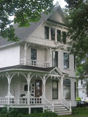 | McFarland House | 7.6 miles | 1991 |
| National Archives record | The nomination case file for reference 13001110 in Record Group 79. |
| Coles County | All 24 listed properties in this county. |