BlockBefore
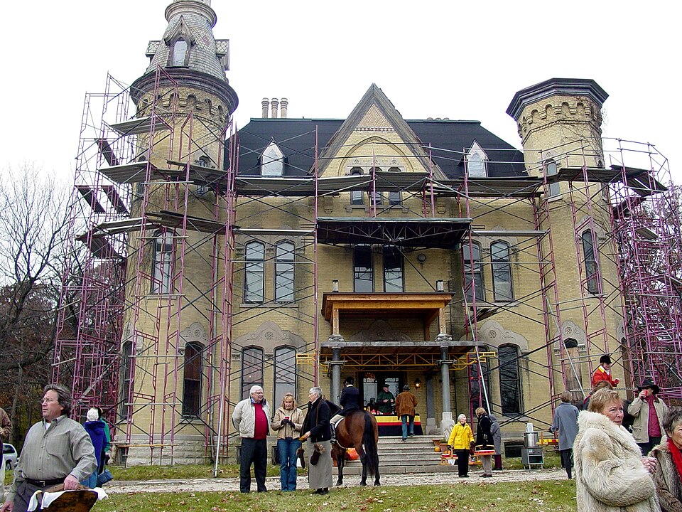
Photograph of Oaklawn Farm
Photograph by Otherbeach BJS, CC BY-SA 3.0. Via Wikimedia Commons.

Oaklawn Farm

Listed on the National Register of Historic Places in 1979.

From the record

“Oaklawn Farm is a historic property in Wayne, Illinois. The farm was operated by the Dunham family, who successfully bred Percheron horses.”

Wikipedia article Oaklawn Farm, CC BY-SA 4.0.

One of 86 National Register listings published here for Kane County · listed in 1979 · category: District.

Sources: the Wikipedia article · the case file at the National Archives · the National Register database, National Park Service
The listing

  • Address. Army Trail and Dunham Rds., Wayne, 60184
  • When was it listed? July 1979
  • Category. district
  • Township. St. Charles township
  • Architectural style. Greek Revival architecture
  • National Register reference number. 79000848 - the number the National Park Service assigned this property when it was listed, and the key its nomination file is catalogued under at the National Archives.

The ground it stands on

3,815 words

The chapter on St. Charles Township in History of Kane County, Ill., published 1908 names Wayne. This is what it says, exactly as the scans read.

St. Charles township and the village of St. Charles were, in the early days, the most important part of the county, and for years St, Charles was the center of the general activities of the northern part of the district. In an early day this township was the seat of many Indian settlements and the trails of the redmen were numerous. One of the most noted was known as "Waubonsie's trail," which tV>llo\ve(l tiie ri\-er on tlie west baiii-c and took in aU the prominent springs in that vicinity. As late as 1845 this trail was plainly visible across the land afterward owned by C. D. Wing, J. D. Brown and C. H. Haines. Another trail led west from Chicago to Rock River across Fox river near where the St. Charles dam now is and followed the ravine west and over the prairie. The third came from the northeast and a fourth diverged from the Chicago trail near Wayne Station and crossed the river at the bend now known as Five Islands, about a half mile below the present Illinois Central railroad bridge.

Passage source: History of Kane County, Ill., published 1908.

Other settlers of 1835 were Solomon Dunham and his son-in-law, Mark W. Fletcher (afterward a prominent politician in the county) ; Joseph Pemberton and Nathan Perry. The claim of Solomon Dunham has since expanded into the fine Dunham stock farm near Wayne, which comprises over one thousand two hundred acres of land. Miss Alzira Garton died in the fall of 1835 and was buried at Brown Grove. This was the first death in the settlement.

Passage source: History of Kane County, Ill., published 1908.

Machine-read from a century-old scan, so expect the errors a machine makes: misspelled names, dropped words, stray characters.

Read the whole chapter on St. Charles Township - 3,815 words on its settlement, mills, schools and churches.

Fires near this property

10 since 2013

Regional context, not property-specific evidence. The federal wildfire occurrence database lists 10 fires within 5 miles of Oaklawn Farm between 2013 and 2014, burning about 72 acres in total. None started naturally. 1 was recorded as arson. Distance is straight-line from the map coordinates, so a fire counted here may appear on a neighbouring settlement's page as well.

Reported cause Fires
Debris and open burning5
Missing data/not specified/undetermined2
Equipment and vehicle use2
Arson/incendiarism1

The most recent of them, most recent first, with the day each was reported and the service that recorded it.

DateCause SizeReported by Name on the report
5 June 2014Missing data/not specified/undetermined1.0 acresIllinois Division of Forestry Resources2014-562
4 May 2014Equipment and vehicle use1.0 acresIllinois Division of Forestry Resources2014-445
7 April 2014Missing data/not specified/undetermined5.0 acresIllinois Division of Forestry Resources14-177
7 April 2014Arson/incendiarism50 acresIllinois Division of Forestry Resources2014-340
7 April 2014Debris and open burningunder an acreIllinois Division of Forestry Resources2014-339
7 April 2014Debris and open burningunder an acreIllinois Division of Forestry Resources2014-337
6 April 2014Debris and open burning2.0 acresIllinois Division of Forestry Resources2013-300
5 April 2014Debris and open burningunder an acreIllinois Division of Forestry Resources2014-328

Every fire recorded in Kane County

Mines and quarries near this property

10 of 11 shown

Regional context, not property-specific evidence. The federal mineral resources record lists 11 workings within 5 miles of Oaklawn Farm: 5 past producers, 3 producers, 3 plants. 6 still produce. What was taken out: Sand and Gravel, Construction, Stone, Crushed/Broken. Distance is straight-line from the map coordinates, so a quarry counted here may appear on a neighbouring settlement's page as well.

Where SiteCommodity StatusRecorded
Fox River QuarryStone, Crushed/BrokenProducer
Fox River QuarryStone, Crushed/BrokenPast Producer
Bartlett PitSand and Gravel, ConstructionPast Producer
Bartlett Plant & PitSand and Gravel, ConstructionProducer
East Riverdale Pit & MillSand and Gravel, ConstructionPlant
Hammond Plant & PitSand and Gravel, ConstructionPast Producer
Hammonds Pit & MillSand and Gravel, ConstructionPlant
Meyer PitSand and Gravel, ConstructionPast Producer
South Elgin Plant & PitSand and Gravel, ConstructionProducer
Van Acker Pit & MillSand and Gravel, ConstructionPlant

Every working recorded in Kane County

Map coverage status

No historic map-sheet match is published for this property yet. That does not mean no map exists. This record needs a coordinate-quality review before it can be joined to a sheet boundary. Browse the county's mapped places while that work is pending.

Listed places nearby

6 within 8 miles

Other National Register properties close enough to walk or drive between, ordered by distance from this one. Both positions come from the same geocoding pass that matched these properties to their map sheets.

Photograph PropertyDistance Listed
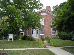
Joel H. Hubbard House3.1 miles2011
Andrew Weisel House3.2 miles1982
Hunt House3.2 miles1982
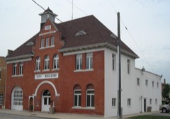
City Building3.4 miles1979
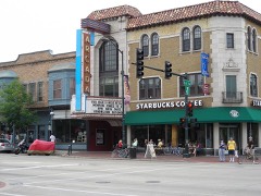
Arcada Theater Building3.4 miles1994
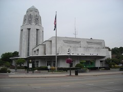
St. Charles Municipal Building3.4 miles1991

Sources for this property

National Archives recordThe nomination case file for reference 79000848 in Record Group 79.
Wikipedia articleCommunity-written account of this property, licensed CC BY-SA.
Kane CountyAll 86 listed properties in this county.

Provenance

  • Listing record. National Park Service National Register of Historic Places, listed-properties dataset, current to 2026-05-22.
  • Map join. Address geocoded through the United States Census geocoder, then tested against the published boundary of every sheet in the USGS Historical Topographic Map Collection.
  • How this page is made. Listing fields come from federal records; map-sheet coverage is a labelled coordinate-to-boundary calculation, not a source-field claim.
  • Wildfire. Short, Karen C. 2022. Spatial wildfire occurrence data for the United States, 1992-2020 [FPA_FOD_20221014]. 6th Edition. Fort Collins, CO: Forest Service Research Data Archive. https://doi.org/10.2737/RDS-2013-0009.6 Collected with United States Government funding and usable without additional permissions or fees.
  • Mines and quarries. USGS Mineral Resources Data System (MRDS) https://mrdata.usgs.gov/mrds/ A work of the United States government, no copyright under 17 U.S.C. 105.