 Block
From the record
One of 98 National Register listings published here for Lake County · listed in 1982 · category: Building · built in 1908.
Sources: the case file at the National Archives · the National Register database, National Park Service
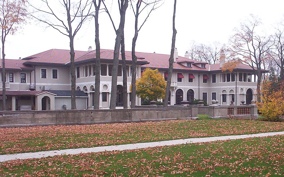
Built in 1908. Listed on the National Register of Historic Places in 1982.
One of 98 National Register listings published here for Lake County · listed in 1982 · category: Building · built in 1908.
Sources: the case file at the National Archives · the National Register database, National Park Service
This property stands in Libertyville Township. The Past and Present of Lake County, Illinois, published 1877 gives that township a chapter of its own.
The chapter covers the township.
Machine-read from a century-old scan, so expect the errors a machine makes: misspelled names, dropped words, stray characters.
Read the whole chapter on Libertyville Township - 2,542 words on its settlement, mills, schools and churches.
Regional context, not property-specific evidence. The federal wildfire occurrence database lists 7 fires within 5 miles of J. Ogden Armour House between 2017 and 2020, burning about 42 acres in total. None started naturally. None was recorded as arson. Distance is straight-line from the map coordinates, so a fire counted here may appear on a neighbouring settlement's page as well.
| Reported cause | Fires |
|---|---|
| Debris and open burning | 4 |
| Equipment and vehicle use | 1 |
| Missing data/not specified/undetermined | 1 |
| Power generation/transmission/distribution | 1 |
The most recent of them, most recent first, with the day each was reported and the service that recorded it.
| Date | Cause | Size | Reported by | Name on the report |
|---|---|---|---|---|
| 1 June 2018 | Debris and open burning | under an acre | Illinois Division of Forestry Resources | 60118 |
| 8 May 2018 | Debris and open burning | under an acre | Illinois Division of Forestry Resources | 18-1522 |
| 9 April 2019 | Missing data/not specified/undetermined | 15 acres | Illinois Division of Forestry Resources | 19-971 |
| 30 April 2018 | Debris and open burning | 2.0 acres | Illinois Division of Forestry Resources | 18-1413 |
| 4 December 2017 | Power generation/transmission/distribution | 1.0 acres | Illinois Division of Forestry Resources | 17-3964 |
| 15 December 2020 | Debris and open burning | 23 acres | Illinois Division of Forestry Resources | 2020-2498 |
| 4 November 2020 | Equipment and vehicle use | under an acre | Illinois Division of Forestry Resources | 2020-2239 |
Regional context, not property-specific evidence. The federal mineral resources record lists 1 working within 5 miles of J. Ogden Armour House: 1 past producer. None of them still produces. What was taken out: Sand and Gravel, Construction. Distance is straight-line from the map coordinates, so a quarry counted here may appear on a neighbouring settlement's page as well.
| Where | Site | Commodity | Status | Recorded |
|---|---|---|---|---|
| Peterson Pit | Sand and Gravel, Construction | Past Producer |
Regional context, not property-specific evidence. The National Weather Service names Lake Forest, the town this property stands in, in 8 storm reports between 2000 and 2024: 3 thunderstorm wind, 2 flash flood, 2 flood, 1 hail. No death or injury is recorded in these reports. Each account below is quoted exactly as the forecast office filed it, from the NOAA Storm Events Database, and each date opens the federal record of that event.
| When | Event | Place named | Harm | What the report says |
|---|---|---|---|---|
| October 2001 | Flash Flood | Lake Forest | $180,000 | no account filed |
| February 2024 | Thunderstorm Wind | West Lake Forest | - | A photo shared via social media showed a tree downed onto a road at Lake Forest Academy. Time was estimated using radar. |
| June 2024 | Flash Flood | West Lake Forest | - | The northbound lane of US Rt 41 was closed between IL Rt 60 in Lake Forest and Washington St in Waukegan due to areas of flooding. |
| September 2018 | Flood | West Lake Forest | - | Route 41 was closed south of Route 60 due to flooding in a flood prone area under a low-lying railroad bridge. |
| December 2018 | Flood | Lake Forest | - | Minor street flooding was reported in Highland Park including Tanglewood Court, Taylor Avenue and Tennyson Lane. Storm total rainfall of 1.55 inches was measured one mile south of Highwood. |
| June 2011 | Thunderstorm Wind | Lake Forest | - | Approximately 300 trees were damaged in Lake Forest with 35 trees blown down or were damaged severely enough to be removed. |
| June 2007 | Thunderstorm Wind | Lake Forest | - | Trees blown down. |
| May 2000 | Hail | Lake Forest | - | no account filed |
No historic map-sheet match is published for this property yet. That does not mean no map exists. This record needs a coordinate-quality review before it can be joined to a sheet boundary. Browse the county's mapped places while that work is pending.
Other National Register properties close enough to walk or drive between, ordered by distance from this one. Both positions come from the same geocoding pass that matched these properties to their map sheets.
| Photograph | Property | Distance | Listed |
|---|---|---|---|
 | Clifford Milton Leonard Farm | 0.8 miles | 2000 |
 | Deerpath Hill Estates Historic District | 1.1 miles | 2006 |
 | House at 965 Castlegate Court-Deerpath Hill Estates | 1.1 miles | 2006 |
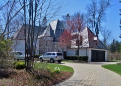 | House at 380 Chiltern Drive-Deerpath Hill Estates | 1.3 miles | 2006 |
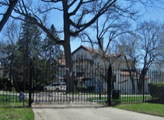 | Frank Hibbard Estate House-Deerpath Hill Estates | 1.4 miles | 2006 |
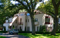 | Robert Hosmer Morse House | 1.9 miles | 2000 |
| National Archives record | The nomination case file for reference 82002578 in Record Group 79. |
| Lake County | All 98 listed properties in this county. |