 Block
Ambia, Indiana
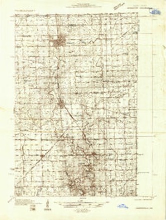
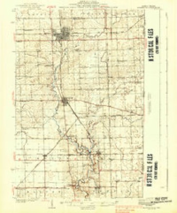
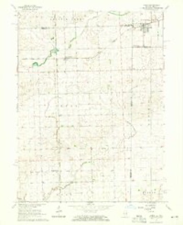
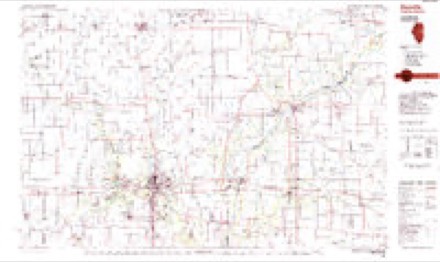
12 topographic sheets cover this place, the earliest surveyed in 1933 and the latest in 1987. It stands in Hickory Grove Township. It lies in ZIP code area 47917. The Survey maps it on the Ambia quadrangle. 227 people lived here at the 2020 count. It stands 732 feet above sea level.
Population over time
2 figuresAmbia fell from 239 to 227 between 2010 and 2020. These are the recorded population figures Wikidata holds for this place, reached through the Geographic Names Information System number this page is keyed on rather than by name, so they belong to this place and not to another of the same name. Most are census counts, but not all are: an early figure may be a founding or settlement estimate, and an estimate published within five years of a census is left out. The change column is computed, and is left blank where more than 20 years separate a figure from the one before it, because a gap that long is not a change between two counts.
| Year | People | Change |
|---|---|---|
| 2010 | 239 | |
| 2020 | 227 | -12 (-5%) |
Topographic sheets covering this place
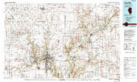
8 surveys from 12 printed sheetsMatched by testing this settlement's coordinate against the published boundary of every sheet in the United States Geological Survey's historical collection. Each opens the scanned sheet at the Survey.
- 1933 USGS Hoopeston quadrangle1:48000
- 1938 USGS Hoopeston quadrangle1:62500, 3 printings
- 1953 USGS Danville quadrangle1:250000, 3 printings
- 1955 USGS Danville quadrangle1:250000
- 1956 USGS Danville quadrangle1:250000
- 1964 USGS Ambia quadrangle1:24000
- 1984 USGS Danville quadrangle1:100000
- 1987 USGS Danville quadrangle1:100000



In the county-history sources
12,731 words on this townshipProgress of Education in Benton County, Indiana : with an Explanation of the Indiana School System and the Duties of School Officers, Patrons and Pupils, published 1906 names this settlement in its chapter on Hickory Grove Township. These are the passages that mention it, exactly as the scans read.
The first schoolhouse in Hickory Grove was built by James Kirtley in 1868. It stood one-half mile east and three miles north of the site of Ambia, and was known as the Robb school. No reliable information as to who taught any of the earlier terms in this house has been obtained. The school must have been very small, as there were but seven persons between six and twenty-one years of age in range ten, township twenty-four, in 1868. This number increased to ten in 1869 and to nineteen in 1871. The Robb school was abandoned some years ago and the house was sold. It is now owned by Theodore Altepeter and stands near his home.
Passage source: Progress of Education in Benton County, Indiana : with an Explanation of the Indiana School System and the Duties of School Officers, Patrons and Pupils, published 1906.
Hickory Grove was erected in Talbot. C. E. Whitten taught the Talbot school in 1874-5-G. The next school was built in Ambia in 1874, and the Kirsch school was established in 1878. Clara McNeil, Anna Guest, Kale Siddens and Mary Powell tauffht the four schools in Hickory (Jrove in the winter of IS7G-7, and Mary Towell, G. B. James and Austin Bowman
Passage source: Progress of Education in Benton County, Indiana : with an Explanation of the Indiana School System and the Duties of School Officers, Patrons and Pupils, published 1906.
It is said that the tirst house built in Ambia was built in 1873 by James C. Pugh. The first school house was built iu 1874. The site of Ambia was then a part of school district number eleven in Grant township. The first teacher was Kate Siddens, a sister of James Siddens who was afterwards elected the first trustee of Hickory Grove township. She taught the winter of 1874-5, and was succeeded by J. Lee Dinwiddle in the winter of 1875-G. At that time the country just north of the railroad was an unbroken prairie. In the fall of 1875 many of the people of the town cut the wild grass and shocked it up for winter use. The fall rains came early and spoiled the hay thus made. In the winter the land was covered with water which froze and made an immense skating ground on which the people of the town and surrounding country would gather each evening. The hay shocks were used for torches, and the weird and picturesque scenes made by the chasing, hurrying, skurrying skaters as they rapidly appeared in the light or vanished in tho darkness were not soon forgotten.
Passage source: Progress of Education in Benton County, Indiana : with an Explanation of the Indiana School System and the Duties of School Officers, Patrons and Pupils, published 1906.
Machine-read from a century-old scan, so expect the errors a machine makes: misspelled names, dropped words, stray characters.
Read the whole chapter on Hickory Grove Township - it names this place 3 more 3 times.
Storms near this place
8 since 2006Regional context, not property-specific evidence. The National Weather Service names Ambia in 8 storm reports between 2006 and 2025: 3 hail, 2 tornado, 2 thunderstorm wind, 1 flood. No death or injury is recorded in these reports. Each account below is quoted exactly as the forecast office filed it, from the NOAA Storm Events Database, and each date opens the federal record of that event.
| When | Event | Place named | Harm | What the report says |
|---|---|---|---|---|
| May 2025 | Thunderstorm Wind | Ambia | - | Thunderstorm outflow produced a measured wind gust to 65 mph on the leading edge of a dust storm which reduced visibility to near zero in Ambia. |
| June 2009 | Thunderstorm Wind | Ambia | - | Damage was reported to a house and trees. |
| October 2007 | Tornado (EF0) | Ambia | - | A trained spotter observed a funnel cloud for several minutes that eventually touched down briefly in an open field. No damage was reported. |
| April 2006 | Tornado (F0) | Ambia | - | A brief tornado was reported in Ambia. No damage was reported. |
| September 2006 | Flood | Ambia | - | Water six inches deep was reported on State Road 71 near SR 352. Water was over the road on a one half to one mile stretch of Highway. Storm total rainfall of 2.43 inches was measured four miles west northwest of Boswell. |
| August 2011 | Hail | Ambia | - | no account filed |
| June 2009 | Hail | Ambia | - | no account filed |
| April 2006 | Hail | Ambia | - | no account filed |
Nearest settlements
The eight closest, with where each one stands in the county. Distances are straight-line, computed from the Geographic Names Information System coordinates.
| Map | Place | Distance | Sheets |
|---|---|---|---|
| Handy | 2.5 miles | 9 | |
| Talbot | 3.5 miles | 9 | |
| Dunnington | 5.3 miles | 9 | |
| Dunn | 5.8 miles | 9 | |
| Boswell | 7.7 miles | 9 | |
| Freeland Park | 8.7 miles | 9 | |
| Chase | 9.5 miles | 9 | |
| Free | 9.6 miles | 9 |
Elsewhere
Matched on this settlement's Geographic Names Information System number rather than its name, so it cannot be a different place of the same name in another state.
| Wikipedia article on Ambia | An encyclopaedic summary. Its text is share-alike, so it is linked here rather than copied. |
| Wikidata item Q975934 | The structured record the population and elevation above come from. Public domain (CC0). |
Provenance
This settlement is recorded in the Geographic Names Information System as feature 430128. The sheet list is computed by point-in-boundary test against the United States Geological Survey's historical topographic inventory. Both are works of the United States government and carry no copyright under 17 U.S.C. 105.
Storms. NOAA National Centers for Environmental Information, Storm Events Database https://www.ncei.noaa.gov/stormevents/ A work of the United States government, no copyright under 17 U.S.C. 105. Narratives are quoted verbatim from the National Weather Service report and are not edited or summarised.