 Block
Antioch Grange, Indiana
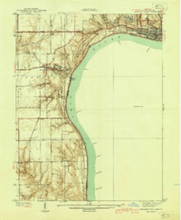
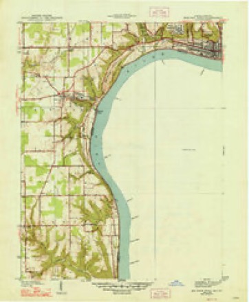
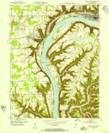
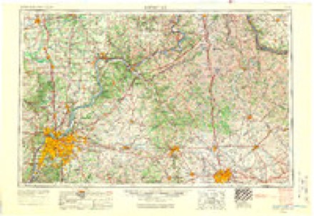
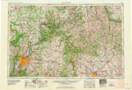
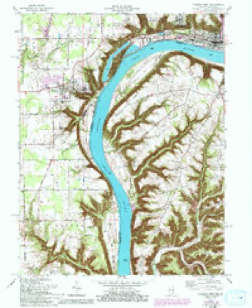
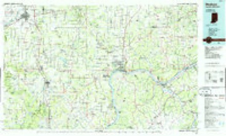
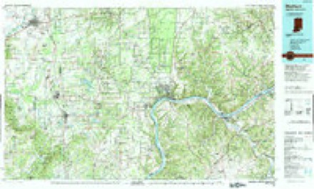
17 topographic sheets cover this place, the earliest surveyed in 1939 and the latest in 1990. It stands in Hanover Township. It lies in ZIP code area 47243. The Survey maps it on the Madison West quadrangle.
Topographic sheets covering this place
8 surveys from 17 printed sheetsMatched by testing this settlement's coordinate against the published boundary of every sheet in the United States Geological Survey's historical collection. Each opens the scanned sheet at the Survey.
- 1939 USGS Madison West quadrangle1:24000, 3 printings
- 1948 USGS Madison West quadrangle1:24000, 2 printings
- 1953 USGS Madison West quadrangle1:24000, 2 printings
- 1956 USGS Louisville quadrangle1:250000, 2 printings
- 1964 USGS Louisville quadrangle1:250000
- 1964 USGS Madison West quadrangle1:24000, 5 printings
- 1986 USGS Madison quadrangle1:100000
- 1990 USGS Madison quadrangle1:100000
Fires near this place
13 since 2002Regional context, not property-specific evidence. The federal wildfire occurrence database lists 13 fires within 5 miles of Antioch Grange between 2002 and 2010, burning about 16 acres in total. None started naturally. 1 was recorded as arson. Distance is straight-line from the map coordinates, so a fire counted here may appear on a neighbouring settlement's page as well.
| Reported cause | Fires |
|---|---|
| Recreation and ceremony | 4 |
| Missing data/not specified/undetermined | 3 |
| Debris and open burning | 2 |
| Equipment and vehicle use | 2 |
| Arson/incendiarism | 1 |
| Smoking | 1 |
The most recent of them, most recent first, with the day each was reported and the service that recorded it.
| Date | Cause | Size | Reported by | Name on the report |
|---|---|---|---|---|
| 25 September 2004 | Arson/incendiarism | 1.0 acres | Indiana State Fire Marshal's Office | not named |
| 15 September 2010 | Missing data/not specified/undetermined | 10 acres | Big Oaks National Wildlife Refuge | HANOVER HILL |
| 2 July 2002 | Debris and open burning | 1.0 acres | Indiana State Fire Marshal's Office | not named |
| 16 July 2002 | Recreation and ceremony | under an acre | Indiana State Fire Marshal's Office | not named |
| 15 July 2002 | Equipment and vehicle use | 1.0 acres | Indiana State Fire Marshal's Office | not named |
| 25 March 2007 | Missing data/not specified/undetermined | 1.0 acres | Indiana State Fire Marshal's Office | not named |
| 24 March 2007 | Recreation and ceremony | 1.0 acres | Indiana State Fire Marshal's Office | not named |
| 24 March 2004 | Recreation and ceremony | under an acre | Indiana State Fire Marshal's Office | not named |
Settlements close enough to share some of these fires:
Mines and quarries near this place
2 within 5 milesRegional context, not property-specific evidence. The federal mineral resources record lists 2 workings within 5 miles of Antioch Grange: 1 past producer, 1 producer. 1 still produces. What was taken out: Magnesite, Stone. Distance is straight-line from the map coordinates, so a quarry counted here may appear on a neighbouring settlement's page as well.
| Where | Site | Commodity | Status | Recorded |
|---|---|---|---|---|
| Concrete Materials Div Ls Quarry | Magnesite | Past Producer | ||
| Jefferson Co. Hwy. Dept. | Stone | Producer |
Storms near this place
6 since 2012Regional context, not property-specific evidence. The National Weather Service names Antioch Grange in 6 storm reports between 2012 and 2026: 2 hail, 2 flash flood, 1 tornado, 1 thunderstorm wind. No death or injury is recorded in these reports. Each account below is quoted exactly as the forecast office filed it, from the NOAA Storm Events Database, and each date opens the federal record of that event.
| When | Event | Place named | Harm | What the report says |
|---|---|---|---|---|
| July 2015 | Flash Flood | Antioch Grange | $30,000 | A broadcast media meteorologist relayed a report of a mud slide at Hanover Hill due to flash flooding. Between 3 and 5 inches of rain fell in the area. |
| March 2026 | Thunderstorm Wind | Antioch Grange | - | There were a couple of trees down at the intersection of State Road 256 and State Road 56. |
| March 2024 | Tornado (EF1) | Antioch Grange | - | The National Weather Service in Louisville, KY in coordination with the National Weather Service in Wilmington, OH conducted a 2 day storm damage assessment survey. The survey found a 18.6 mile long EF-2 tornado with peak winds of 115 mph occurred on the afternoon of March 14, 2024. The tornado was on the ground for 26 minutes as it touched down 1 mile north of Hanover, IN, and lifted just east of Carrollton, KY. The tornado crossed the Ohio River three times as it started in Jefferson County, IN, crossed the Ohio River into Trimble County, KY, entered Carroll County, KY, crossed the Ohio River back into Jefferson County, IN, crossed into Switzerland County, IN, and crossed the Ohio River for the last time before entering Carroll County, KY. The tornado was 500 yards wide at its maximum.||The tornado touched down on Paradise Lane off of Highway 256 on the north side of Hanover, Indiana. the tornado caused shingle and gutter damage, and a couple of large limbs down. The tornado was initially 80 mph, EF-0, with a width of 60 yards. It increased to 90 mph, EF-1, on County Manor Boulevard, taking a roof off a home|with sections of the roof twisted around limbs and trees. The width increased to 80 yards.||In the area by Birch St. and Ash Dr, the tornado did sporadic tree damage with a few topped and uprooted trees. The width remained at 80 yards and wind speed were EF-0, 80 mph.||Next the tornado did extensive damage in Jefferson Manor subdivision. Several homes had extensive roof damage and one newer house had the roof completely ripped off. A 1500 pound brick mailbox was knocked over. Several garages sustained major damage|and one outbuilding was destroyed. National Weather Service drone photography showed debris thrown up to an eight of a mile. The tornado was 110 mph, EF-1, with a width of 150 yards at this spot.||The tornado crossed Indiana 56 and did extensive tree damage on South Revonah Dr. Trees were snapped, uprooted, and twisted in multiple directions. Witnesses saw the tornado, had photography, and heard a loud wind and had their ears pop. Wind speeds of 90 mph EF-1, with a width of 200 yards. There were also some uprooted|trees along River Bottom Road. ||The tornado crossed the Ohio River between River Bottom Road on the Indiana side and Coopers Bottom Road on the Kentucky side, just south of the Clifty Creek Power Plant. |
| July 2015 | Flash Flood | Antioch Grange | - | A law enforcement official reported that Highway 56 west of Madison was flooded in spots. Between 4 and 5 inches of rain fell from several rounds of thunderstorms. |
| May 2014 | Hail | Antioch Grange | - | A spotter just west of Madison reported 1 inch hail. |
| March 2012 | Hail | Antioch Grange | - | no account filed |
Nearest settlements
The eight closest, with where each one stands in the county. Distances are straight-line, computed from the Geographic Names Information System coordinates.
| Map | Place | Distance | Sheets |
|---|---|---|---|
| Hanover | 1.6 miles | 17 | |
| Hanover Beach | 2.3 miles | 17 | |
| Smyrna | 3.1 miles | 10 | |
| Kent | 3.7 miles | 9 | |
| Neavill Grove | 3.9 miles | 8 | |
| Volga | 4.1 miles | 8 | |
| North Madison | 4.4 miles | 10 | |
| Madison | 4.8 miles | 17 |
Elsewhere
Matched on this settlement's Geographic Names Information System number rather than its name, so it cannot be a different place of the same name in another state.
| Wikidata item Q122596230 | The structured record the population and elevation above come from. Public domain (CC0). |
Provenance
This settlement is recorded in the Geographic Names Information System as feature 430218. The sheet list is computed by point-in-boundary test against the United States Geological Survey's historical topographic inventory. Both are works of the United States government and carry no copyright under 17 U.S.C. 105.
Wildfire. Short, Karen C. 2022. Spatial wildfire occurrence data for the United States, 1992-2020 [FPA_FOD_20221014]. 6th Edition. Fort Collins, CO: Forest Service Research Data Archive. https://doi.org/10.2737/RDS-2013-0009.6 Collected with United States Government funding and usable without additional permissions or fees.
Mines and quarries. USGS Mineral Resources Data System (MRDS) https://mrdata.usgs.gov/mrds/ A work of the United States government, no copyright under 17 U.S.C. 105.
Storms. NOAA National Centers for Environmental Information, Storm Events Database https://www.ncei.noaa.gov/stormevents/ A work of the United States government, no copyright under 17 U.S.C. 105. Narratives are quoted verbatim from the National Weather Service report and are not edited or summarised.