 Block
Arba, Indiana
18 topographic sheets cover this place, the earliest surveyed in 1916 and the latest in 1992. It stands in Greensfork Township. It lies in ZIP code area 47355. It stands on Crete Drain. The Survey maps it on the Spartanburg quadrangle.
Topographic sheets covering this place
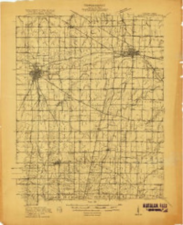
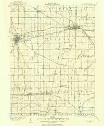
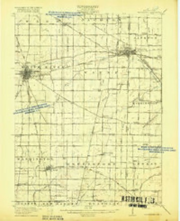
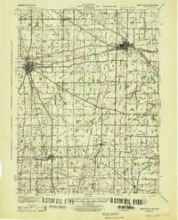
9 surveys from 18 printed sheetsMatched by testing this settlement's coordinate against the published boundary of every sheet in the United States Geological Survey's historical collection. Each opens the scanned sheet at the Survey.
- 1916 USGS Winchester quadrangle1:48000
- 1916 USGS Winchester quadrangle1:62500, 2 printings
- 1918 USGS Winchester quadrangle1:62500, 2 printings
- 1943 USGS Winchester quadrangle1:62500
- 1953 USGS Muncie quadrangle1:250000, 5 printings
- 1956 USGS Muncie quadrangle1:250000
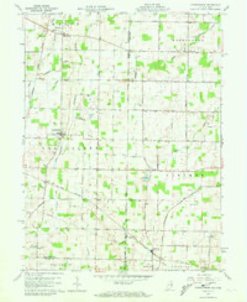
- 1960 USGS Spartanburg quadrangle1:24000, 2 printings
- 1986 USGS Piqua quadrangle1:100000, 3 printings
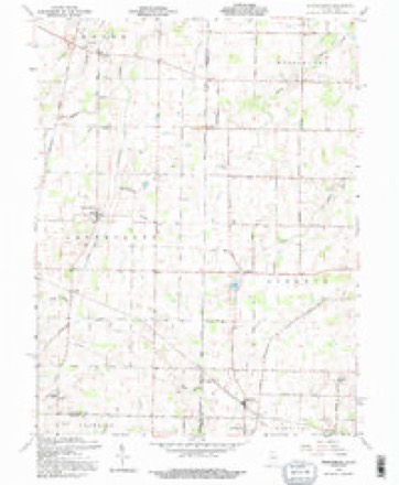
- 1992 USGS Spartanburg quadrangle1:24000


In the county-history sources
16,698 words on this townshipHistory of Randolph County, Indiana with Illustrations and Biographical Sketches of Some of Its Prominent Men and Pioneers : to Which Are Appended Maps of Its Several Townships, published 1882 names this settlement in its chapter on Greensfork Township. These are the passages that mention it, exactly as the scans read.
The first settler was Thomas ^y. Parker, April, 1814, on Fractional Section 32, Town 10. Range 1, just east of the old bound- !iry, and jtist north of Wivvne County line, not very far west of Arba, Other settlers in 1814, so far'as now known, were:
Passage source: History of Randolph County, Indiana with Illustrations and Biographical Sketches of Some of Its Prominent Men and Pioneers : to Which Are Appended Maps of Its Several Townships, published 1882.
Greensfork is occupied by a jiopulation largely noted for industry and thrift, for quiet, peaceable habits, and general morality and good order. For many years, no intoxicating drinks have been sold openly within its limits. Its schools maintain a high grade of excellence, and it has an unusual proportion of churches and church members. There are at least seven churches in tlic township, occupied by the various denominations. The churches are Friends, at Arba; Methodist Episcopal, at Spiurtan.sburg; Disciples, at Spartansburg andGilead; United Brethren, at Pinhook and in tlie we.st jjart of the township; African Methodist, at Mt. Zion; and possibly others.
Passage source: History of Randolph County, Indiana with Illustrations and Biographical Sketches of Some of Its Prominent Men and Pioneers : to Which Are Appended Maps of Its Several Townships, published 1882.
In early times, there was a distillery above Arba, soiith of William Horn's. It was owned by Elihu Cammack's uncle, .4mos (Cammack?). Considerable whisky was drank at gatherings, and as a natural result, many got " groggy" by its use.
Passage source: History of Randolph County, Indiana with Illustrations and Biographical Sketches of Some of Its Prominent Men and Pioneers : to Which Are Appended Maps of Its Several Townships, published 1882.
Machine-read from a century-old scan, so expect the errors a machine makes: misspelled names, dropped words, stray characters.
Read the whole chapter on Greensfork Township - it names this place 17 more 17 times.
Mines and quarries near this place
2 within 5 milesRegional context, not property-specific evidence. The federal mineral resources record lists 2 workings within 5 miles of Arba: 2 producers. All of them still produce. What was taken out: Sand and Gravel, Construction. Distance is straight-line from the map coordinates, so a quarry counted here may appear on a neighbouring settlement's page as well.
| Where | Site | Commodity | Status | Recorded |
|---|---|---|---|---|
| Belleview Plant Pit | Sand and Gravel, Construction | Producer | ||
| Fountain City | Sand and Gravel, Construction | Producer |
Storms near this place
2 since 2011Regional context, not property-specific evidence. The National Weather Service names Arba in 2 storm reports between 2011 and 2019: 1 hail, 1 thunderstorm wind. No death or injury is recorded in these reports. Each account below is quoted exactly as the forecast office filed it, from the NOAA Storm Events Database, and each date opens the federal record of that event.
Nearest settlements
The eight closest, with where each one stands in the county. Distances are straight-line, computed from the Geographic Names Information System coordinates.
| Map | Place | Distance | Sheets |
|---|---|---|---|
| Crete | 2.3 miles | 18 | |
| Spartanburg | 3.9 miles | 18 | |
| Lynn | 4.7 miles | 19 | |
| Bloomingport | 6.9 miles | 19 | |
| Bartonia | 7.3 miles | 18 | |
| Snow Hill | 7.6 miles | 19 | |
| Rural | 8.4 miles | 19 | |
| Carlos | 8.9 miles | 12 |
Provenance
This settlement is recorded in the Geographic Names Information System as feature 430231. The sheet list is computed by point-in-boundary test against the United States Geological Survey's historical topographic inventory. Both are works of the United States government and carry no copyright under 17 U.S.C. 105.
Mines and quarries. USGS Mineral Resources Data System (MRDS) https://mrdata.usgs.gov/mrds/ A work of the United States government, no copyright under 17 U.S.C. 105.
Storms. NOAA National Centers for Environmental Information, Storm Events Database https://www.ncei.noaa.gov/stormevents/ A work of the United States government, no copyright under 17 U.S.C. 105. Narratives are quoted verbatim from the National Weather Service report and are not edited or summarised.