 Block
Rural, Indiana
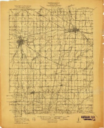
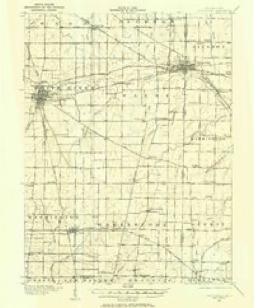
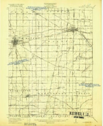
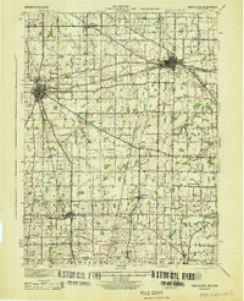
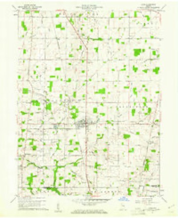
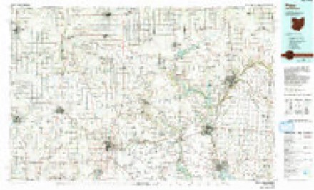
19 topographic sheets cover this place, the earliest surveyed in 1916 and the latest in 1986. It stands in Washington Township. It lies in ZIP code area 47394. The Survey maps it on the Lynn quadrangle.
Topographic sheets covering this place
8 surveys from 19 printed sheetsMatched by testing this settlement's coordinate against the published boundary of every sheet in the United States Geological Survey's historical collection. Each opens the scanned sheet at the Survey.
- 1916 USGS Winchester quadrangle1:48000
- 1916 USGS Winchester quadrangle1:62500, 2 printings
- 1918 USGS Winchester quadrangle1:62500, 2 printings
- 1943 USGS Winchester quadrangle1:62500
- 1953 USGS Muncie quadrangle1:250000, 5 printings
- 1956 USGS Muncie quadrangle1:250000
- 1960 USGS Lynn quadrangle1:24000, 4 printings
- 1986 USGS Piqua quadrangle1:100000, 3 printings


In the county-history sources
32,049 words on this townshipHistory of Randolph County, Indiana with Illustrations and Biographical Sketches of Some of Its Prominent Men and Pioneers : to Which Are Appended Maps of Its Several Townships, published 1882 names this settlement in its chapter on Washington Township. These are the passages that mention it, exactly as the scans read.
HBNRV OVLER, farmer, P. 0. Rural, was born in Randolph County, July 10, 1821. lie is the son of Valentine and Catharine ( Wysong) Oyler, The subject of this sketch was married, March 1, 1857, to Mary A. Heaston, who Wiis born in Montgomery County, Ohio, August 21, 1827, Her father. Christian Heaston, was a native of Virginia, born October 19, 180f. Her mi pi her, Sarah (Jessup) Heaston, was born in Kentucky December 5,1802. Mr. Oyler owns 312 acres of land, and is an extensive farmer. He is a sterling genileman anil is highly respected by all who know him, Mr, and Mrs. Oyler have had born to them five children, four of whom are living - John C, January 25, 1868; William H., June 21!, 1859; Arnta A., August 10, 1852, and Henrietta, November 24, 1809. The deceased one, Sarah C, was born November 19, 180.5, and died January 8, 1800.
Passage source: History of Randolph County, Indiana with Illustrations and Biographical Sketches of Some of Its Prominent Men and Pioneers : to Which Are Appended Maps of Its Several Townships, published 1882.
Machine-read from a century-old scan, so expect the errors a machine makes: misspelled names, dropped words, stray characters.
Read the whole chapter on Washington Township - it names this place 3 more 3 times.
Mines and quarries near this place
2 within 5 milesRegional context, not property-specific evidence. The federal mineral resources record lists 2 workings within 5 miles of Rural: 1 producer, 1 past producer. 1 still produces. What was taken out: Sand and Gravel, Construction. Distance is straight-line from the map coordinates, so a quarry counted here may appear on a neighbouring settlement's page as well.
| Where | Site | Commodity | Status | Recorded |
|---|---|---|---|---|
| Hutchens Gravel Inc- Lynn Pit | Sand and Gravel, Construction | Producer | ||
| Lynn Pit | Sand and Gravel, Construction | Past Producer |
Storms near this place
2 since 2013Regional context, not property-specific evidence. The National Weather Service names Rural in 2 storm reports between 2013 and 2021: 1 flash flood, 1 hail. No death or injury is recorded in these reports. Each account below is quoted exactly as the forecast office filed it, from the NOAA Storm Events Database, and each date opens the federal record of that event.
| When | Event | Place named | Harm | What the report says |
|---|---|---|---|---|
| December 2013 | Flash Flood | Rural | $5,000 | Numerous road closures across the county for roads being underwater were reported. |
| August 2021 | Hail | Rural | - | Emergency Medical Technicians are pulled over and unable to proceed in zero visibility with hail as large as quarters. |
Nearest settlements
The eight closest, with where each one stands in the county. Distances are straight-line, computed from the Geographic Names Information System coordinates.
| Map | Place | Distance | Sheets |
|---|---|---|---|
| Snow Hill | 1.0 miles | 19 | |
| Lynn | 4.2 miles | 19 | |
| Winchester | 4.6 miles | 18 | |
| Bloomingport | 5.7 miles | 19 | |
| Buena Vista | 5.7 miles | 12 | |
| Bartonia | 6.1 miles | 18 | |
| Huntsville | 6.1 miles | 12 | |
| Carlos | 6.6 miles | 12 |
Provenance
This settlement is recorded in the Geographic Names Information System as feature 442395. The sheet list is computed by point-in-boundary test against the United States Geological Survey's historical topographic inventory. Both are works of the United States government and carry no copyright under 17 U.S.C. 105.
Mines and quarries. USGS Mineral Resources Data System (MRDS) https://mrdata.usgs.gov/mrds/ A work of the United States government, no copyright under 17 U.S.C. 105.
Storms. NOAA National Centers for Environmental Information, Storm Events Database https://www.ncei.noaa.gov/stormevents/ A work of the United States government, no copyright under 17 U.S.C. 105. Narratives are quoted verbatim from the National Weather Service report and are not edited or summarised.