 Block
Bennettsville, Indiana
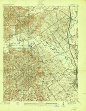
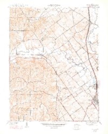
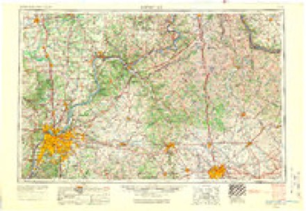
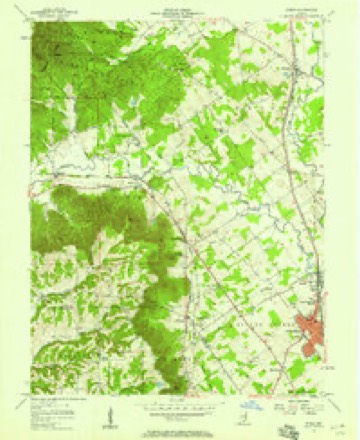
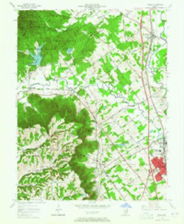
14 topographic sheets cover this place, the earliest surveyed in 1938 and the latest in 1986. It stands in Carr Township. It lies in ZIP code area 47143. The Survey maps it on the Speed quadrangle. It stands 571 feet above sea level.
Topographic sheets covering this place
7 surveys from 14 printed sheetsMatched by testing this settlement's coordinate against the published boundary of every sheet in the United States Geological Survey's historical collection. Each opens the scanned sheet at the Survey.
- 1938 USGS Speed quadrangle1:24000
- 1947 USGS Speed quadrangle1:24000, 2 printings
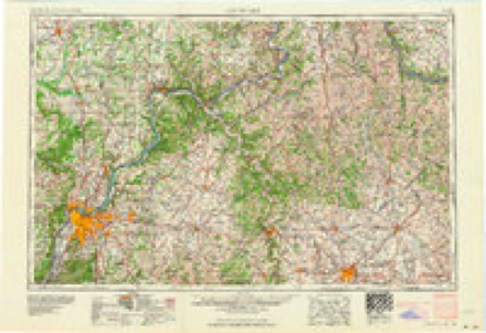
- 1956 USGS Louisville quadrangle1:250000, 2 printings
- 1957 USGS Speed quadrangle1:24000
- 1963 USGS Speed quadrangle1:24000, 5 printings
- 1964 USGS Louisville quadrangle1:250000
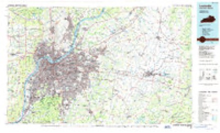
- 1986 USGS Louisville quadrangle1:100000, 2 printings
Mines and quarries near this place
10 of 17 shownRegional context, not property-specific evidence. The federal mineral resources record lists 17 workings within 5 miles of Bennettsville: 14 occurrences, 3 producers. 3 still produce. What was taken out: Iron, Stone, Crushed/Broken. Distance is straight-line from the map coordinates, so a quarry counted here may appear on a neighbouring settlement's page as well.
| Where | Site | Commodity | Status | Recorded |
|---|---|---|---|---|
| Sellersburg Stone Quarry | Stone, Crushed/Broken | Producer | ||
| Speed Mill | Stone, Crushed/Broken | Producer | ||
| Speed Quarry | Stone, Crushed/Broken | Producer | ||
| Unnamed Prospect | Iron | Occurrence | ||
| Unnamed Prospect | Iron | Occurrence | ||
| Unnamed Prospect | Iron | Occurrence | ||
| Unnamed Prospect | Iron | Occurrence | ||
| Unnamed Prospect | Iron | Occurrence | ||
| Unnamed Prospect | Iron | Occurrence | ||
| Unnamed Prospect | Iron | Occurrence |
Storms near this place
5 since 2008Regional context, not property-specific evidence. The National Weather Service names Bennettsville in 5 storm reports between 2008 and 2024: 2 flash flood, 1 thunderstorm wind, 1 lightning, 1 tornado. No death or injury is recorded in these reports. Each account below is quoted exactly as the forecast office filed it, from the NOAA Storm Events Database, and each date opens the federal record of that event.
| When | Event | Place named | Harm | What the report says |
|---|---|---|---|---|
| July 2020 | Lightning | Bennettsville | $30,000 | A lightning strike started a residential structure fire. |
| May 2024 | Tornado (EF0) | Bennettsville | - | The National Weather Service in Louisville confirmed an EF0|tornado in Perry Crossing (near Sellersburg) in Central Clark|County Indiana. The tornado touched down in a field east of|Covered Bridge Golf Club, and crossed Muddy Fork before crossing|Columbus Mann Road near Pinta Place. Video photography and eye |witnesses saw 2 small tornado funnels from the supercell. ||The first damage point was to three homes on Pinta Place. The|homes had shingle and roofing material loss, along with torn |gutters and awning damage. A couple of Bradford pear trees were |displaced to the north. Wind speeds were between 80 and 85 mph |with a width of 60 yards. ||The tornado appeared to lift over a small lake before|touching down again at the intersection of Lumberfield Lane and|New Perry Lane. There was damage to 3 homes with shingle and|roofing material loss. One home in particular had insulation and|mud splatter thrown around all 4 sides of the house. Witnesses|saw 2 small funnels and many had their ears popping. Wind speeds|were 85 mph with a width of 60 yards. Corn stalks from the|original touch down point was thrown to this location. ||Just before the house on Lumberfield, a wooden fence was pulled|apart and knocked over. Either a board from that fence or one |from a loosely connected outbuilding board was thrown through the |wall of the house near the bathroom window. ||The tornado lifted just beyond the house on the east side of|Lumberfield lane, but debris from the houses landed into homes |on Meriwether Drive. This included shingles, particle board and |one impressive 2x4 impalement into the side of the house about 9 |feet off the ground. |
| June 2010 | Thunderstorm Wind | Bennettsville | - | A trained spotter reported estimated wind gusts of 60 mph. |
| September 2009 | Flash Flood | Bennettsville | - | A water rescue was performed at Perry Crossing Road near Covered Bridge ouside of Sellersburg. |
| March 2008 | Flash Flood | Bennettsville | - | Several roads around Charlestown and Sellersburg were closed due to high water. |
Nearest settlements
The eight closest, with where each one stands in the county. Distances are straight-line, computed from the Geographic Names Information System coordinates.
| Map | Place | Distance | Sheets |
|---|---|---|---|
| Wilson | 1.7 miles | 14 | |
| Perry Crossing | 2.7 miles | 14 | |
| Slatecut | 2.8 miles | 14 | |
| Speed | 3.1 miles | 14 | |
| Carwood | 3.3 miles | 14 | |
| Sellersburg | 3.4 miles | 14 | |
| Hamburg | 3.6 miles | 14 | |
| Broom Hill | 4.0 miles | 12 |
Elsewhere
Matched on this settlement's Geographic Names Information System number rather than its name, so it cannot be a different place of the same name in another state.
| Wikipedia article on Bennettsville | An encyclopaedic summary. Its text is share-alike, so it is linked here rather than copied. |
| Wikidata item Q4889780 | The structured record the population and elevation above come from. Public domain (CC0). |
Provenance
This settlement is recorded in the Geographic Names Information System as feature 430818. The sheet list is computed by point-in-boundary test against the United States Geological Survey's historical topographic inventory. Both are works of the United States government and carry no copyright under 17 U.S.C. 105.
Mines and quarries. USGS Mineral Resources Data System (MRDS) https://mrdata.usgs.gov/mrds/ A work of the United States government, no copyright under 17 U.S.C. 105.
Storms. NOAA National Centers for Environmental Information, Storm Events Database https://www.ncei.noaa.gov/stormevents/ A work of the United States government, no copyright under 17 U.S.C. 105. Narratives are quoted verbatim from the National Weather Service report and are not edited or summarised.