 Block
Blue Lick, Indiana
11 topographic sheets cover this place, the earliest surveyed in 1949 and the latest in 1990. It stands in Monroe Township. It lies in ZIP code area 47126. It stands on Right Branch Blue Lick Creek. The Survey maps it on the Henryville quadrangle. It stands 531 feet above sea level.
Topographic sheets covering this place
6 surveys from 11 printed sheetsMatched by testing this settlement's coordinate against the published boundary of every sheet in the United States Geological Survey's historical collection. Each opens the scanned sheet at the Survey.
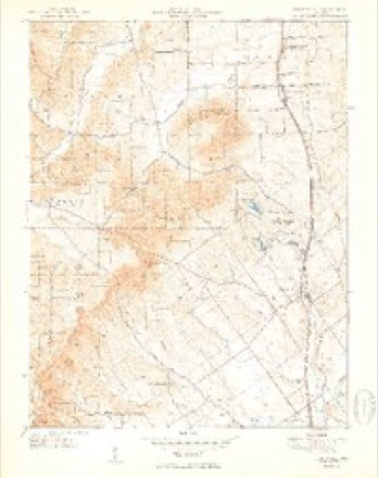
- 1949 USGS Henryville quadrangle1:24000, 2 printings
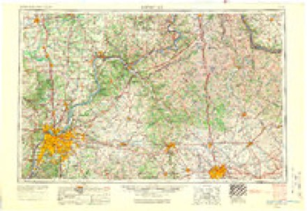
- 1956 USGS Louisville quadrangle1:250000, 2 printings
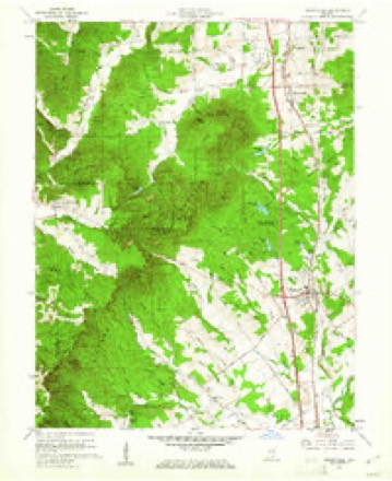
- 1960 USGS Henryville quadrangle1:24000, 4 printings
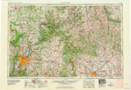
- 1964 USGS Louisville quadrangle1:250000
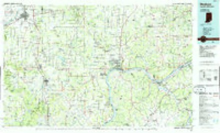
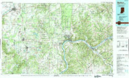
- 1986 USGS Madison quadrangle1:100000
- 1990 USGS Madison quadrangle1:100000
Mines and quarries near this place
10 of 20 shownRegional context, not property-specific evidence. The federal mineral resources record lists 20 workings within 5 miles of Blue Lick: 20 occurrences. None of them still produces. What was taken out: Iron, Fluorine-Fluorite. Distance is straight-line from the map coordinates, so a quarry counted here may appear on a neighbouring settlement's page as well.
| Where | Site | Commodity | Status | Recorded |
|---|---|---|---|---|
| Fluorite Occurrence Number 1 | Fluorine-Fluorite | Occurrence | ||
| Fluorite Occurrence Number 1 | Fluorine-Fluorite | Occurrence | ||
| Unnamed Prospect | Iron | Occurrence | ||
| Unnamed Prospect | Iron | Occurrence | ||
| Unnamed Prospect | Iron | Occurrence | ||
| Unnamed Prospect | Iron | Occurrence | ||
| Unnamed Prospect | Iron | Occurrence | ||
| Unnamed Prospect | Iron | Occurrence | ||
| Unnamed Prospect | Iron | Occurrence | ||
| Unnamed Prospect | Iron | Occurrence |
Storms near this place
6 since 2012Regional context, not property-specific evidence. The National Weather Service names Blue Lick in 6 storm reports between 2012 and 2025: 2 tornado, 2 hail, 2 thunderstorm wind. The reports record 1 death. Each account below is quoted exactly as the forecast office filed it, from the NOAA Storm Events Database, and each date opens the federal record of that event.
| When | Event | Place named | Harm | What the report says |
|---|---|---|---|---|
| March 2012 | Tornado (EF4) | Blue Lick | 1 killed, $55,000,000 | This is a continuation of the violent long tracked tornado that began just south of Fredricksburg moved into Clark county as an EF-4 with a path width of one-third of a mile. ||On Dan Gray Road, many well-constructed homes were leveled. The tornado narrowed to a path width of one-quarter of a mile and decreased in intensity as it crossed Pixley Knob Road. Farther east, the twister destroyed two double-wide modular homes on Speith Road, killing one resident who had moments earlier been videotaping the tornado, and had taken shelter in the interior hallway of the home. Another family residence on the west side of the road was severely damaged, reflecting 150 mph winds. ||The tornado crossed Interstate 65, trapping several people within damaged cars and semis. This highway was closed for several hours. The tornado strengthened just east of exit 19 off the Interstate as it entered a heavily industrialized area. Buildings containing several businesses were destroyed. A home was destroyed with estimated EF-4 winds on the east side of North Fraucke Road. Several homes were seriously damaged on the north side of State Highway 160. The EF-4 tornado then moved through Henryville, severely damaging the south building of the Henryville Junior-Senior High School. The cafeteria was completely destroyed and six automobiles were piled up along the south side of the school. Two school buses in the south parking lot were ripped off their chassis, with one moved hundreds of feet east into a commercial business building across North Ferguson Street. ||Extensive structural damage was surveyed on the east side of Henryville on North Front and Pennsylvania Streets. A high tension tower and other homes were damaged just west of Pine Drive. On Brownstown Road, many homes sustained EF-3 damage along the north side of the road. Several homes were destroyed along Henryville-Otisco Road, with the damage to one reflecting EF-4 winds. The tornado cycled near the intersect of Blackberry Trail and State Highway 3, with the original vortex narrowing rapidly into a rope-like funnel and ending as an EF-1 just as a new vortex immediately touched down just to the southwest of the original near Highway 3 and Mahan Road. This new twister damaged a church as an EF-1 and quickly intensified to an EF-3 as it severely damaged several homes on the south side of Marysville. A Civil Air Patrol Flight revealed extensive ground scouring across several fields east of Marysville all the way to the Scott Jefferson County Line. The scouring indicated a multiple vortex tornado and was confirmed by witnesses and photos. Several homes were severely damaged near and south of the intersection of Nabb-New Washington and Marysville-Nabb Roads. The tornado had 150 mph winds and a width of one third of a mile at this point. ||The tornado intensified over open country east of the intersection of Kettle Bottom and State Highway 362 before crossing into Scott County as it moved north of Route 362. |
| March 2012 | Tornado (EF1) | Blue Lick | $300,000 | Interviews with witnesses helped the NWS damage survey team determine that a second tornado developed to the west southwest of Henryville and moved along a 6 mile track that almost perfectly covered a portion of the track of a previous violent tornado around 15 minutes earlier. The second tornado was associated with a large supercell that brought softball sized hail just to the north of its tornado track. This tornado had intermittent contact with the ground, first touching down and causing tree damage to Round Knob in the Clark State Forest. Damage was then observed along and west of Speith Road, located just southwest of Henryville. Finally the tornado lifted after doing damage along the south side of Henryville from Robyn Avenue to near the intersection of Highway 60 and Haddox Road. |
| March 2025 | Thunderstorm Wind | Blue Lick | - | Trees were down near Blue Lick Road. 500 power outages were reported in the area. |
| December 2025 | Thunderstorm Wind | Blue Lick | - | A large tree fell down and caused utility poles to bend. |
| July 2012 | Hail | Blue Lick | - | A spotter reported nickel size hail and approximately 50 mph winds. |
| April 2017 | Hail | Blue Lick | - | no account filed |
Nearest settlements
The eight closest, with where each one stands in the county. Distances are straight-line, computed from the Geographic Names Information System coordinates.
| Map | Place | Distance | Sheets |
|---|---|---|---|
| Memphis | 2.9 miles | 14 | |
| Henryville | 3.0 miles | 11 | |
| Sylvan Grove | 4.6 miles | 15 | |
| Wilson | 4.6 miles | 14 | |
| Slatecut | 4.6 miles | 14 | |
| Perry Crossing | 5.0 miles | 14 | |
| Carwood | 5.2 miles | 14 | |
| New Liberty | 5.3 miles | 11 |
Elsewhere
Matched on this settlement's Geographic Names Information System number rather than its name, so it cannot be a different place of the same name in another state.
| Wikipedia article on Blue Lick | An encyclopaedic summary. Its text is share-alike, so it is linked here rather than copied. |
| Wikidata item Q4929349 | The structured record the population and elevation above come from. Public domain (CC0). |
Provenance
This settlement is recorded in the Geographic Names Information System as feature 449620. The sheet list is computed by point-in-boundary test against the United States Geological Survey's historical topographic inventory. Both are works of the United States government and carry no copyright under 17 U.S.C. 105.
Mines and quarries. USGS Mineral Resources Data System (MRDS) https://mrdata.usgs.gov/mrds/ A work of the United States government, no copyright under 17 U.S.C. 105.
Storms. NOAA National Centers for Environmental Information, Storm Events Database https://www.ncei.noaa.gov/stormevents/ A work of the United States government, no copyright under 17 U.S.C. 105. Narratives are quoted verbatim from the National Weather Service report and are not edited or summarised.