 Block
Bridgeport, Indiana
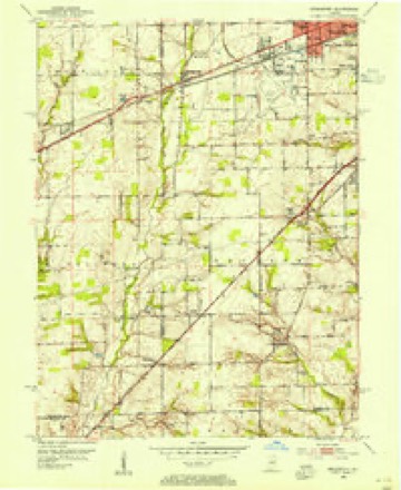
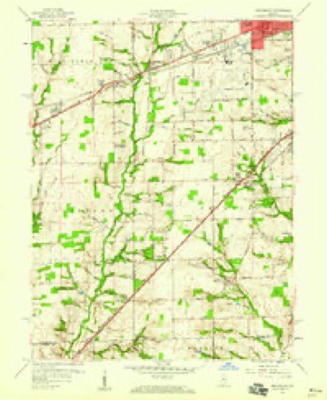
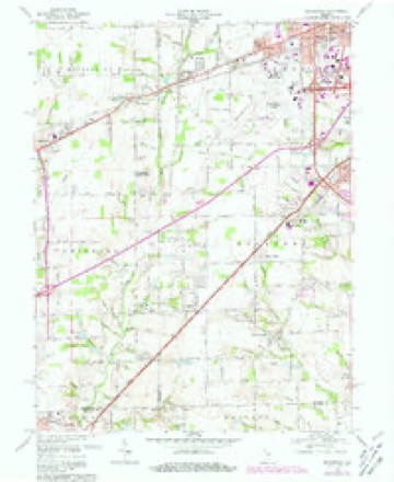
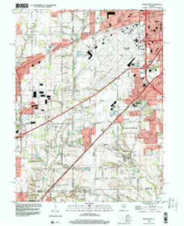
17 topographic sheets cover this place, the earliest surveyed in 1953 and the latest in 1998. It stands in Wayne Township. It lies in ZIP code area 46231. It stands on Port Creek. The Survey maps it on the Bridgeport quadrangle.
Topographic sheets covering this place
9 surveys from 17 printed sheetsMatched by testing this settlement's coordinate against the published boundary of every sheet in the United States Geological Survey's historical collection. Each opens the scanned sheet at the Survey.
- 1953 USGS Bridgeport quadrangle1:24000
- 1953 USGS Indianapolis quadrangle1:250000, 4 printings
- 1956 USGS Indianapolis quadrangle1:250000
- 1957 USGS Indianapolis quadrangle1:250000, 2 printings
- 1959 USGS Bridgeport quadrangle1:24000
- 1962 USGS Indianapolis quadrangle1:250000
- 1966 USGS Bridgeport quadrangle1:24000, 4 printings
- 1986 USGS Indianapolis quadrangle1:100000, 2 printings
- 1998 USGS Bridgeport quadrangle1:24000





In the county-history sources
12,230 words on this townshipHistory of Indianapolis and Marion County, Indiana, published 1884 names this settlement in its chapter on Wayne Township. These are the passages that mention it, exactly as the scans read.
Three small towns or villages lie within the territory of Wayne township. Of these, Bridgeport is located in the southwest part of the township, on the old National road, and also on the line of the Vandalia Railroad. The village of Clermont is in the northwest corner of the township, on the line of the Indiana, Bloomington and Western Railway ; and on the south line of the township, near its southeast corner, is the village of Maywood, located on the line of the Vincennes Railroad. The population of the township by the United States census of 1880 was four thousand seven hundred and seventy-two.
Passage source: History of Indianapolis and Marion County, Indiana, published 1884.
Jeremiah Johnson came to Marion County with his family in 1821, and settled first on lands located north of Indianapolis, near the site of the present fair grounds. He was the first jail-keeper of Marion County, and later he kept a public-house in Indianapolis. In or about 1832 he moved to Wayne township, and erected a steam-mill at Bridgeport, one of the earliest of that kind in the county. Afterwards he lived for some years on his farm, three miles east of Bridgeport. He died in 1876, at the age of eighty-two years.
Passage source: History of Indianapolis and Marion County, Indiana, published 1884.
Samson Houghman was born in Virginia in 1795, and moved thence to Butler County, Ohio, where he passed the years of his youth. He was married very early in life, and became the father of five daughters and one son, Peter N. Houghman, born in 1820. Mr. Houghman came to Marion County in 1829, ; and settled first in Decatur township, but about 1844 moved to Bridgeport, where for a short time he carried on merchandising with his son. Afterwards he moved to the farm now occupied by his son, Peter N. Houghman, on the National road, about one-fourth of a mile east of Bridgeport. He died in 1852.
Passage source: History of Indianapolis and Marion County, Indiana, published 1884.
Machine-read from a century-old scan, so expect the errors a machine makes: misspelled names, dropped words, stray characters.
Read the whole chapter on Wayne Township - it names this place 17 more 17 times.
Fires near this place
3 since 2003Regional context, not property-specific evidence. The federal wildfire occurrence database lists 3 fires within 5 miles of Bridgeport between 2003 and 2007, burning about 1 acre in total. None started naturally. None was recorded as arson. Distance is straight-line from the map coordinates, so a fire counted here may appear on a neighbouring settlement's page as well.
| Reported cause | Fires |
|---|---|
| Smoking | 2 |
| Missing data/not specified/undetermined | 1 |
The most recent of them, most recent first, with the day each was reported and the service that recorded it.
| Date | Cause | Size | Reported by | Name on the report |
|---|---|---|---|---|
| 21 May 2007 | Missing data/not specified/undetermined | under an acre | Indiana State Fire Marshal's Office | not named |
| 15 April 2003 | Smoking | 1.0 acres | Indiana State Fire Marshal's Office | not named |
| 12 April 2006 | Smoking | under an acre | Indiana State Fire Marshal's Office | not named |
Settlements close enough to share some of these fires:
Storms near this place
3 since 1998Regional context, not property-specific evidence. The National Weather Service names Bridgeport in 3 storm reports between 1998 and 2013: 2 thunderstorm wind, 1 flood. No death or injury is recorded in these reports. Each account below is quoted exactly as the forecast office filed it, from the NOAA Storm Events Database, and each date opens the federal record of that event.
| When | Event | Place named | Harm | What the report says |
|---|---|---|---|---|
| June 2013 | Thunderstorm Wind | Bridgeport | $20,000 | Twenty to twenty five trees were reported down in the Salem Creek Housing Addition on Bridgeport Road between Washington and Morris Roads due to damaging thunderstorm wind gusts. |
| December 1998 | Thunderstorm Wind | Bridgeport | $10,000 | no account filed |
| June 2013 | Flood | Bridgeport | $500 | Flooding was reported on Ronald Reagan Parkway near Highway 40 due to thunderstorm heavy rainfall. |
Nearest settlements
The eight closest, with where each one stands in the county. Distances are straight-line, computed from the Geographic Names Information System coordinates.
| Map | Place | Distance | Sheets |
|---|---|---|---|
| Sterling Heights | 1.9 miles | 17 | |
| Tremont | 2.4 miles | 16 | |
| Ben Davis | 2.8 miles | 17 | |
| Keystone Manor | 3.0 miles | 16 | |
| Mickleyville | 3.1 miles | 17 | |
| Chapel Hill | 3.5 miles | 16 | |
| Valley Mills | 3.5 miles | 17 | |
| Westwood | 3.8 miles | 16 |
Provenance
This settlement is recorded in the Geographic Names Information System as feature 431518. The sheet list is computed by point-in-boundary test against the United States Geological Survey's historical topographic inventory. Both are works of the United States government and carry no copyright under 17 U.S.C. 105.
Wildfire. Short, Karen C. 2022. Spatial wildfire occurrence data for the United States, 1992-2020 [FPA_FOD_20221014]. 6th Edition. Fort Collins, CO: Forest Service Research Data Archive. https://doi.org/10.2737/RDS-2013-0009.6 Collected with United States Government funding and usable without additional permissions or fees.
Storms. NOAA National Centers for Environmental Information, Storm Events Database https://www.ncei.noaa.gov/stormevents/ A work of the United States government, no copyright under 17 U.S.C. 105. Narratives are quoted verbatim from the National Weather Service report and are not edited or summarised.