 Block
Valley Mills, Indiana
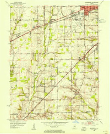
17 topographic sheets cover this place, the earliest surveyed in 1953 and the latest in 1998. It stands in Decatur Township. It lies in ZIP code area 46241. It stands on Kollman Branch. The Survey maps it on the Bridgeport quadrangle.
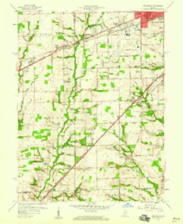
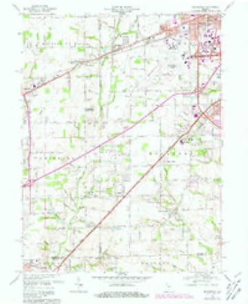
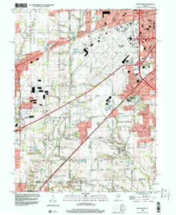
Topographic sheets covering this place
9 surveys from 17 printed sheetsMatched by testing this settlement's coordinate against the published boundary of every sheet in the United States Geological Survey's historical collection. Each opens the scanned sheet at the Survey.
- 1953 USGS Bridgeport quadrangle1:24000
- 1953 USGS Indianapolis quadrangle1:250000, 4 printings
- 1956 USGS Indianapolis quadrangle1:250000
- 1957 USGS Indianapolis quadrangle1:250000, 2 printings
- 1959 USGS Bridgeport quadrangle1:24000
- 1962 USGS Indianapolis quadrangle1:250000
- 1966 USGS Bridgeport quadrangle1:24000, 4 printings
- 1986 USGS Indianapolis quadrangle1:100000, 2 printings
- 1998 USGS Bridgeport quadrangle1:24000





In the county-history sources
7,094 words on this townshipHistory of Indianapolis and Marion County, Indiana, published 1884 names this settlement in its chapter on Decatur Township. These are the passages that mention it, exactly as the scans read.
In the first settlement of the township the large yellow and spotted rattlesnakes were numerous, and the cause of much terror among the settlers. Cattle and other animals were frequently bitten, and died from the effects of, the poison, though there is no account of any person having died from that cause. During the fall of 1824 some of the settlers became convinced that the reptiles had a den in the vicinity of what is now the village of Valley Mills, and in the following spring a close watch was kept for their appearance in that locality. On one of the earliest of the warm days their den was discovered by John Kenworthy, and the inhabitants of the neighboring settlements were notified of the fact. The able-bodied men of the region for several miles around gathered at the place, and with mattocks, shovels, spades, and hoes proceeded to dislodge and §lay the serpents. Their den was in the side of a ravine on the land of Isaac Hawkins, now owned and occupied by William Sanders, about a half-mile east of Valley Mills Station of the Indianapolis and Vincennes Railway. One hundred and seven rattlesnakes were killed (most of them of large size), besides a number of other and less venomous snakes. This general slaughter of the reptiles seemed to almost entirely rid the township of them, as but few were seen afterwards, most of them, howeVer, in the vicinity of Valley Mills and near the high bluifs along White River. A few of the black variety, known as the prairie rattlesnake, were found around the bog prairie, situated partly in Decatur and partly in Wayne townships, until quite recently, but now they appear to have been exterminated. Many years ago Ira Plummer was bitten (while gathering hazel-nuts) by a snake of this kind, but survived and recovered wholly through the efficacy (as was said) of whiskey and a tea made of blue-ash bark.
Passage source: History of Indianapolis and Marion County, Indiana, published 1884.
Valley Mills village, previously called Fremont, and also Northport, was laid out as Fremont by Joe Sanders in 1856, and laid out and platted under the name of Northport, March 21, 1839; is located a little north of the centre of the township, on the Vincennes Railroad. It has a Friends' meetinghouse, and another of the Hicksite branch of the same society, one commodious school-house of four rooms, a graded school, post-office, one physician, one general store, one grocery, a blacksmith- and wagon-maker's shop, a saw-mill, and railroad station. On the northeast, adjoining the village, is the fine nursery and fruit farm of the Hon. John Furnas.
Passage source: History of Indianapolis and Marion County, Indiana, published 1884.
Machine-read from a century-old scan, so expect the errors a machine makes: misspelled names, dropped words, stray characters.
Fires near this place
3 since 2003Regional context, not property-specific evidence. The federal wildfire occurrence database lists 3 fires within 5 miles of Valley Mills between 2003 and 2007, burning about 1 acre in total. None started naturally. None was recorded as arson. Distance is straight-line from the map coordinates, so a fire counted here may appear on a neighbouring settlement's page as well.
| Reported cause | Fires |
|---|---|
| Smoking | 2 |
| Missing data/not specified/undetermined | 1 |
The most recent of them, most recent first, with the day each was reported and the service that recorded it.
| Date | Cause | Size | Reported by | Name on the report |
|---|---|---|---|---|
| 21 May 2007 | Missing data/not specified/undetermined | under an acre | Indiana State Fire Marshal's Office | not named |
| 15 April 2003 | Smoking | 1.0 acres | Indiana State Fire Marshal's Office | not named |
| 12 April 2006 | Smoking | under an acre | Indiana State Fire Marshal's Office | not named |
Settlements close enough to share some of these fires:
Mines and quarries near this place
3 within 5 milesRegional context, not property-specific evidence. The federal mineral resources record lists 3 workings within 5 miles of Valley Mills: 2 producers, 1 past producer. 2 still produce. What was taken out: Sand and Gravel, Construction, Stone, Crushed/Broken. Distance is straight-line from the map coordinates, so a quarry counted here may appear on a neighbouring settlement's page as well.
| Where | Site | Commodity | Status | Recorded |
|---|---|---|---|---|
| Indianapolis 522 Quarry | Stone, Crushed/Broken | Producer | ||
| Kentucky Avenue Sand | Sand and Gravel, Construction | Producer | ||
| Standard Materials Corp S&G Pit | Sand and Gravel, Construction | Past Producer |
Storms near this place
15 since 2008Regional context, not property-specific evidence. The National Weather Service names Valley Mills in 15 storm reports between 2008 and 2025: 6 hail, 5 thunderstorm wind, 2 flash flood, 1 heavy rain. The reports record 1 injury. Each account below is quoted exactly as the forecast office filed it, from the NOAA Storm Events Database, and each date opens the federal record of that event.
| When | Event | Place named | Harm | What the report says |
|---|---|---|---|---|
| August 2019 | Thunderstorm Wind | Valley Mills | 1 hurt, $5,000 | Large tree limb snapped due to thunderstorm wind gusts. Limb fell on car driving along road. Driver suffered minor injuries. |
| June 2008 | Flash Flood | Valley Mills | $20,000 | There were numerous reports of flash flooding county-wide due to heavy rainfall. |
| October 2013 | Thunderstorm Wind | Valley Mills | $6,000 | A tree was downed through a roof near Thompson and Powell Roads on the southwest side of Indianapolis due to damaging thunderstorm wind gusts. |
| June 2019 | Flood | Valley Mills | $1,000 | Residential flooding was observed at Valleybrook High School and the Kentucky Avenue area due to heavy rainfall. |
| August 2019 | Thunderstorm Wind | Valley Mills | $1,000 | A small tree and multiple large limbs were snapped at the Indianapolis Weather Forecast Office due to damaging thunderstorm wind gusts. |
| July 2012 | Thunderstorm Wind | Valley Mills | $1,000 | A large, healthy tree was downed on High School Road due to damaging thunderstorm wind gusts. |
| December 2025 | Thunderstorm Wind | Valley Mills | - | A 70 mph thunderstorm wind gust was measured by a Mesonet station. |
| November 2014 | Heavy Rain | Valley Mills | - | Heavy rainfall of 2.18 fell in this location over a 24-hour period. |
| July 2008 | Flash Flood | Valley Mills | - | Heavy rainfall accumulated on Hanna Avenue to a depth of approximately 2 inches. |
| March 2012 | Hail | Valley Mills | - | no account filed |
| September 2012 | Hail | Valley Mills | - | no account filed |
| March 2012 | Hail | Valley Mills | - | no account filed |
| May 2011 | Hail | Valley Mills | - | no account filed |
| May 2011 | Hail | Valley Mills | - | no account filed |
| May 2009 | Hail | Valley Mills | - | no account filed |
Nearest settlements
The eight closest, with where each one stands in the county. Distances are straight-line, computed from the Geographic Names Information System coordinates.
| Map | Place | Distance | Sheets |
|---|---|---|---|
| Maple Ridge | 1.0 miles | 17 | |
| West Newton | 2.6 miles | 17 | |
| Camby | 2.9 miles | 17 | |
| Mars Hill | 3.3 miles | 17 | |
| Sunshine Gardens | 3.5 miles | 17 | |
| Bridgeport | 3.5 miles | 17 | |
| Sterling Heights | 3.6 miles | 17 | |
| Drexel Gardens | 3.8 miles | 17 |
Provenance
This settlement is recorded in the Geographic Names Information System as feature 445198. The sheet list is computed by point-in-boundary test against the United States Geological Survey's historical topographic inventory. Both are works of the United States government and carry no copyright under 17 U.S.C. 105.
Wildfire. Short, Karen C. 2022. Spatial wildfire occurrence data for the United States, 1992-2020 [FPA_FOD_20221014]. 6th Edition. Fort Collins, CO: Forest Service Research Data Archive. https://doi.org/10.2737/RDS-2013-0009.6 Collected with United States Government funding and usable without additional permissions or fees.
Mines and quarries. USGS Mineral Resources Data System (MRDS) https://mrdata.usgs.gov/mrds/ A work of the United States government, no copyright under 17 U.S.C. 105.
Storms. NOAA National Centers for Environmental Information, Storm Events Database https://www.ncei.noaa.gov/stormevents/ A work of the United States government, no copyright under 17 U.S.C. 105. Narratives are quoted verbatim from the National Weather Service report and are not edited or summarised.