 Block
Broad Ripple, Indiana
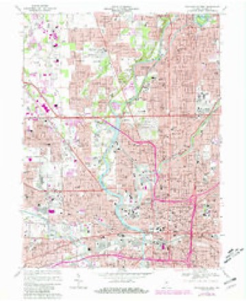
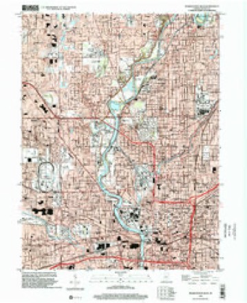
19 topographic sheets cover this place, the earliest surveyed in 1948 and the latest in 1998. It stands in Washington Township. It lies in ZIP code area 46220. It stands on Bailey Creek. The Survey maps it on the Indianapolis West quadrangle.
On record in Broad Ripple
Buildings and businesses the archive holds for this place. Each opens its own page, with the source record it came from.
On the National Register within a mile 2 records
The National Register names another town for these. They stand within one mile of this settlement's coordinate.
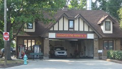 Broad Ripple Firehouse-Indianapolis Fire Department Station 32listed 2011 · 0.8 miles away
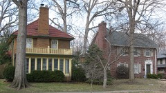 Forest Hills Historic Districtlisted 1983 · 0.8 miles away
Topographic sheets covering this place
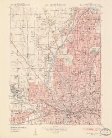
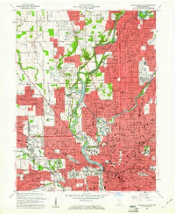
9 surveys from 19 printed sheetsMatched by testing this settlement's coordinate against the published boundary of every sheet in the United States Geological Survey's historical collection. Each opens the scanned sheet at the Survey.
- 1948 USGS Indianapolis West quadrangle1:24000, 2 printings
- 1953 USGS Indianapolis quadrangle1:250000, 4 printings
- 1956 USGS Indianapolis quadrangle1:250000
- 1957 USGS Indianapolis quadrangle1:250000, 2 printings
- 1959 USGS Indianapolis West quadrangle1:24000
- 1962 USGS Indianapolis quadrangle1:250000
- 1967 USGS Indianapolis West quadrangle1:24000, 5 printings
- 1986 USGS Indianapolis quadrangle1:100000, 2 printings
- 1998 USGS Indianapolis West quadrangle1:24000





In the county-history sources
15,135 words on this townshipHistory of Indianapolis and Marion County, Indiana, published 1884 names this settlement in its chapter on Washington Township. These are the passages that mention it, exactly as the scans read.
Hezekiah Smith, Sr., was born in Delaware, April 18, 1763. At the age of sixteen he entered the Revolutionary army, and was in nine battles. His eldest brother, Daniel, was killed in the Revolutionary war. His brother Simeon was also in the same war, and also in the war of 1812, and lived to enjoy the blessings for which he fought. The subject of this sketch married Mary Ann Rector, who was born in Virginia, Feb. 12, 1776. Her mother died when she was an infant, and she was raised by her uncle, Presley Neville, in Pittsburgh, Pa. The Rector family was large, and many of them emigrated to Ohio, where a number of their descendants now reside on Mad River, in Champaign and Clark Counties. Hezekiah Smith was a local preacher of the Methodist Episcopal Church ; by trade he was a wagon-maker, and worked at that business in the Bluelicks, Nicholas County, Ky. ; but subsequently he bought a farm on Indian Creek, and partially quitting his trade, followed farming. The following are the names of his children, viz. : Betty, Susan, Deborah, Daniel R., Peter, Hezekiah, Nancy, Simeon, Miles C , Carlton R., and Marcus L. The seven sons all reached manhood and became sober, industrious, and useful citizens. But two of the children are living, viz., Susan Chinn, in Colorado, and Marcus L. Smith, in Argos, Ind. In 1820, Mr. Smith sold his farm in Kentucky and moved his family to this township, and settled in the woods Oct. 27, 1820, about one half-mile east of where Broad Ripple now is, and on the west half of northeast quarter of section 6, township 16, range 4 east. At that time there were but two or three cabins between where he settled and the donation, as Indianapolis was then called. Mr. Smith and his son Peter had came out to where the family settled and made an improvement, and raised a crop of corn the spring before. The family lived in camp for six weeks after arrival here, when a cabin was built, into which they moved before winter.
Passage source: History of Indianapolis and Marion County, Indiana, published 1884.
Jacob Hushaw, who was of German descent, was born in Virginia. He came to this township from Ohio in 1821, and settled near where Broad Ripple now is. He was a carpenter by trade, and a good mechanic. He died on his old homestead about 1843.
Passage source: History of Indianapolis and Marion County, Indiana, published 1884.
Jacob Coil, Sr., was born in Hamilton County, Va., about 1790. He was of German descent. He emigrated to Fayette County, Ohio, where he lived several years, and from there came to this township with his family, consisting of wife and several children, in the year 1823, and settled on eighty acres now owned by James Bridges. In 1835 he moved to near Broad Ripple, and died there in the fall of 1837. By occupation he was a farmer. He was moral and industrious, and in business a persevering man. He took an active interest in all matters pertaining to the public good. He followed the burning of lime for several years during his residence in this township, obtaining the rock for the purpose out of the bed of White River. He burned many thousands of bushels of lime every year. Most of the lime used in the building of the old State-house was burned by him. He married Barbara Colip, and was the father of eight children, four of whom he raised to maturity. Two are living, viz., Casandra, the wife of Swartz Mustard, who lives in Broad Ripple, and Sabina, the wife of Lewis H. Rickard, who resides in Norton County, Kansas.
Passage source: History of Indianapolis and Marion County, Indiana, published 1884.
Machine-read from a century-old scan, so expect the errors a machine makes: misspelled names, dropped words, stray characters.
Read the whole chapter on Washington Township - it names this place 7 more 7 times.
Mines and quarries near this place
5 within 5 milesRegional context, not property-specific evidence. The federal mineral resources record lists 5 workings within 5 miles of Broad Ripple: 3 past producers, 2 producers. 2 still produce. What was taken out: Sand and Gravel, Construction, Stone, Crushed/Broken. Distance is straight-line from the map coordinates, so a quarry counted here may appear on a neighbouring settlement's page as well.
| Where | Site | Commodity | Status | Recorded |
|---|---|---|---|---|
| Indianapolis 521 Quarry | Stone, Crushed/Broken | Producer | ||
| Eighty-Sixth Street Sand | Sand and Gravel, Construction | Producer | ||
| Standard Materials Corp S&G Pit | Sand and Gravel, Construction | Past Producer | ||
| U. S. Aggregates, Inc. | Sand and Gravel, Construction | Past Producer | ||
| U. S. Allied Aggregates, Inc. | Sand and Gravel, Construction | Past Producer |
Nearest settlements
The eight closest, with where each one stands in the county. Distances are straight-line, computed from the Geographic Names Information System coordinates.
| Map | Place | Distance | Sheets |
|---|---|---|---|
| Dawnbury | 0.6 miles | 17 | |
| Shore Acres | 0.7 miles | 17 | |
| Wellington | 0.8 miles | 19 | |
| Creekwood | 1.0 miles | 19 | |
| Mallot Park (historical) | 1.2 miles | 17 | |
| Ravenswood | 1.5 miles | 17 | |
| Glendale Heights | 1.7 miles | 19 | |
| North Crows Nest | 1.7 miles | 19 |
Provenance
This settlement is recorded in the Geographic Names Information System as feature 452112. The sheet list is computed by point-in-boundary test against the United States Geological Survey's historical topographic inventory. Both are works of the United States government and carry no copyright under 17 U.S.C. 105.
Mines and quarries. USGS Mineral Resources Data System (MRDS) https://mrdata.usgs.gov/mrds/ A work of the United States government, no copyright under 17 U.S.C. 105.