 Block
Brooksburg, Indiana
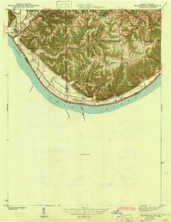
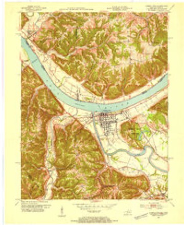
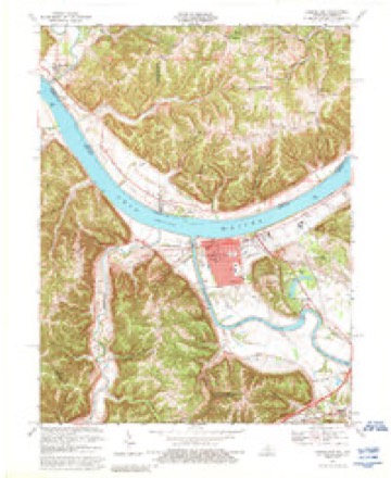
12 topographic sheets cover this place, the earliest surveyed in 1943 and the latest in 1990. It stands in Milton Township. It lies in ZIP code area 47250. It lies near Shirks Hollow. The Survey maps it on the Carrollton quadrangle.
Topographic sheets covering this place
7 surveys from 12 printed sheetsMatched by testing this settlement's coordinate against the published boundary of every sheet in the United States Geological Survey's historical collection. Each opens the scanned sheet at the Survey.
- 1943 USGS Brooksburg quadrangle1:24000
- 1953 USGS Carrollton quadrangle1:24000, 2 printings
- 1956 USGS Louisville quadrangle1:250000, 2 printings
- 1964 USGS Louisville quadrangle1:250000
- 1967 USGS Carrollton quadrangle1:24000, 4 printings
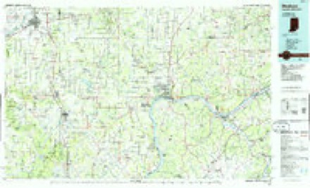
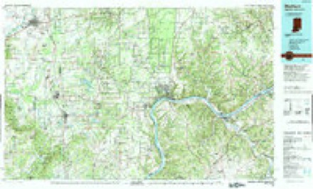
- 1986 USGS Madison quadrangle1:100000
- 1990 USGS Madison quadrangle1:100000
Mines and quarries near this place
1 within 5 milesRegional context, not property-specific evidence. The federal mineral resources record lists 1 working within 5 miles of Brooksburg: 1 producer. All of them still produce. What was taken out: Sand and Gravel, Construction. Distance is straight-line from the map coordinates, so a quarry counted here may appear on a neighbouring settlement's page as well.
| Where | Site | Commodity | Status | Recorded |
|---|---|---|---|---|
| Milton Plant | Sand and Gravel, Construction | Producer |
Storms near this place
7 since 2002Regional context, not property-specific evidence. The National Weather Service names Brooksburg in 7 storm reports between 2002 and 2024: 3 thunderstorm wind, 1 lightning, 1 hail, 1 flood. No death or injury is recorded in these reports. Each account below is quoted exactly as the forecast office filed it, from the NOAA Storm Events Database, and each date opens the federal record of that event.
| When | Event | Place named | Harm | What the report says |
|---|---|---|---|---|
| July 2015 | Thunderstorm Wind | Brooksburg | $50,000 | A broadcast media meteorologist relayed a report that several barns were destroyed by severe thunderstorm winds. |
| June 2002 | Lightning | Brooksburg | $50,000 | A lightning strike caused a fire that destroyed most of a restored log cabin. |
| March 2024 | Tornado (EF2) | Brooksburg | - | The National Weather Service in Louisville, KY in coordination with the National Weather Service in Wilmington, OH conducted a 2 day storm damage assessment survey. The survey found a 18.6 mile long EF-2 tornado with peak winds of 115 mph occurred on the afternoon of March 14, 2024. The tornado was on the ground for 26 minutes as it touched down 1 mile north of Hanover, IN, and lifted just east of Carrollton, KY. The tornado crossed the Ohio River three times as it started in Jefferson County, IN, crossed the Ohio River into Trimble County, KY, entered Carroll County, KY, crossed the Ohio River back into Jefferson County, IN, crossed into Switzerland County, IN, and crossed the Ohio River for the last time before entering Carroll County, KY. The tornado was 500 yards wide at its maximum.||After exiting Carroll County, KY, the tornado crossed the Ohio River for a second time, and increased significantly at the Route 56 Campground. The tornado snapped dozens of trees. The 400 yard wide twister knocked over several RV trailers, and lifting them in the air and wrapping two around trees. The team looked up owner's manuals to determine that actual weight of the various types of trailers. One trailer in particular was a 46-footer, and weighed about 14000 pounds, and was knocked over and moved 5 inches.||Numerous boat ports, had anchor supports pulled out of the ground, including several buried in a foot of concrete. Debris from the RV park was thrown onto Highway 56 and well beyond into the trees on the north side of the highway. Outbuildings and small barns were destroyed. Wind speeds at the RV Park were 115 mph, EF-2.||The tornado crossed in Switzerland county near Green Valley Road. |
| July 2023 | Thunderstorm Wind | Brooksburg | - | Trees were reported down in eastern Jefferson County near Brooksburg. |
| August 2022 | Thunderstorm Wind | Brooksburg | - | A couple of trees blew down, and some siding came off of a building. |
| March 2011 | Flood | Brooksburg | - | The Ohio River near Madison crested at 451.6 feet around 7 AM EST on March 13. Flood stage is 451 feet. Minor flooding occurs at this level, with lower parts of Milton, KY flooded, and water nearing Vaughn Street in Madison. |
| July 2007 | Hail | Brooksburg | - | no account filed |
Nearest settlements
The eight closest, with where each one stands in the county. Distances are straight-line, computed from the Geographic Names Information System coordinates.
Provenance
This settlement is recorded in the Geographic Names Information System as feature 449623. The sheet list is computed by point-in-boundary test against the United States Geological Survey's historical topographic inventory. Both are works of the United States government and carry no copyright under 17 U.S.C. 105.
Mines and quarries. USGS Mineral Resources Data System (MRDS) https://mrdata.usgs.gov/mrds/ A work of the United States government, no copyright under 17 U.S.C. 105.
Storms. NOAA National Centers for Environmental Information, Storm Events Database https://www.ncei.noaa.gov/stormevents/ A work of the United States government, no copyright under 17 U.S.C. 105. Narratives are quoted verbatim from the National Weather Service report and are not edited or summarised.