 Block
Cedarville, Indiana
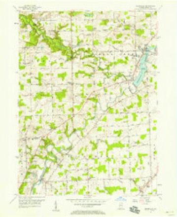
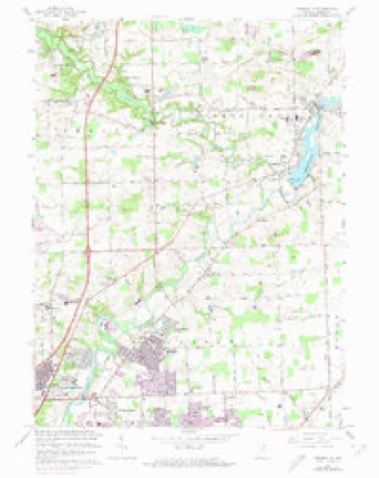
12 topographic sheets cover this place, the earliest surveyed in 1953 and the latest in 1994. It stands in Cedar Creek Township. It lies in ZIP code area 46765. The Survey maps it on the Cedarville quadrangle.
Topographic sheets covering this place
6 surveys from 12 printed sheetsMatched by testing this settlement's coordinate against the published boundary of every sheet in the United States Geological Survey's historical collection. Each opens the scanned sheet at the Survey.
- 1953 USGS Fort Wayne quadrangle1:250000, 4 printings
- 1956 USGS Cedarville quadrangle1:24000
- 1956 USGS Fort Wayne quadrangle1:250000, 2 printings
- 1963 USGS Cedarville quadrangle1:24000, 3 printings
- 1984 USGS Fort Wayne quadrangle1:100000
- 1994 USGS Fort Wayne quadrangle1:100000




In the county-history sources
8,294 words on this townshipHistory of Allen County, Indiana., published 1880 names this settlement in its chapter on Cedar Creek Township. These are the passages that mention it, exactly as the scans read.
St. Joseph River traverses the township from northeast to southwest. Cedar Creek flows through the western portion, joining St. Joseph River at a point near the village of Cedarville. There are also four small streams, or branches, flowing in a direction parallel with the course of Cedar Creek, and finding an out¬ let in the St. Joseph.
Passage source: History of Allen County, Indiana., published 1880.
The first religious meeting was held at the house of Jacob Notestine. in 1836, by Rev. Hickland, of the Methodist Protestant Church. In 1838, a class was organized under the auspices of this denomination, and received accessions from the Methodist Episcopal and United Brethren Churches. They held meetings at irregular intervals, in private houses, and at a later date, in the schoolhouse on Section 32 ; maintaining an organization until the members of the Methodist and United Brethren Churches withdrew to organize their respective denominations.
Passage source: History of Allen County, Indiana., published 1880.
United Brethren. - In February, 1861, a class of this denomination was organized at Hamilton, with fifty constituent members. Rev. Jonathan Thomas wiis their Pastor. Soon after the organization, they erected a church at Hamilton, in which they held services until 1875. The building was a frame, 36x48 feet, and cost 81,200. In 1875, it was sold to the Methodist Episcopal denomination, and, in the same year, a new edifice was erected at Cedarville, 30x40 feet. It was dedicated by Elder David Holmes in April, 1877. The following named minis¬ ters have officiated as Pastors of the Church : Revs. William Moffett, J. Lower, G. W. Stewart, G. W. Tuttle, Jonathan Thomas, -J. K. Alwood, E. Miller, M. Mothlen, J. W. Martin, D. B. Keller, G. W. Dinius, G. W. Redman. The present number of members is fifty ; Rev. J. W. Martin, present Pastor.
Passage source: History of Allen County, Indiana., published 1880.
Machine-read from a century-old scan, so expect the errors a machine makes: misspelled names, dropped words, stray characters.
Read the whole chapter on Cedar Creek Township - it names this place 10 more 10 times.
Mines and quarries near this place
1 within 5 milesRegional context, not property-specific evidence. The federal mineral resources record lists 1 working within 5 miles of Cedarville: 1 producer. All of them still produce. What was taken out: Sand and Gravel, Construction. Distance is straight-line from the map coordinates, so a quarry counted here may appear on a neighbouring settlement's page as well.
| Where | Site | Commodity | Status | Recorded |
|---|---|---|---|---|
| Brudi Pit #3 | Sand and Gravel, Construction | Producer |
Storms near this place
21 since 2007Regional context, not property-specific evidence. The National Weather Service names Cedarville in 21 storm reports between 2007 and 2026: 13 thunderstorm wind, 8 hail. No death or injury is recorded in these reports. Each account below is quoted exactly as the forecast office filed it, from the NOAA Storm Events Database, and each date opens the federal record of that event.
| When | Event | Place named | Harm | What the report says |
|---|---|---|---|---|
| July 2022 | Thunderstorm Wind | Cedarville | $3,000 | A trained spotter reported that a fence was blown down and a flag pole was bent to the ground. |
| April 2026 | Hail | Cedarville | $1,000 | Report on mPING of 1 inch hail. |
| March 2023 | Hail | Cedarville | $500 | A report on mPING indicated hail of 0.50 inch. |
| February 2026 | Hail | Cedarville | - | Reported as a tonnie sized hailstone (1.1 inches in diameter). |
| March 2025 | Thunderstorm Wind | Cedarville | - | Measured via handheld anemometer. |
| March 2022 | Thunderstorm Wind | Cedarville | - | The public reported a few three inch tree limbs broken as well as at least 1 power pole of unknown diameter. |
| July 2022 | Thunderstorm Wind | Cedarville | - | Damage to trees was reported on mPING. |
| June 2021 | Thunderstorm Wind | Cedarville | - | Large tree limbs down. |
| August 2021 | Thunderstorm Wind | Cedarville | - | Three inch tree limbs broken. Power poles broken. Report from MPing. |
| July 2020 | Thunderstorm Wind | Cedarville | - | Six to twelve inch diameter tree limbs downed at the Leo-Cedarville Park. Some of the limbs were rotted inside, others appeared healthy. |
| July 2020 | Thunderstorm Wind | Cedarville | - | A large tree and power lines down across Gerig Road. |
| July 2020 | Thunderstorm Wind | Cedarville | - | Fire department responded to report of power lines down. |
| July 2020 | Thunderstorm Wind | Cedarville | - | One to Two foot diameter tree downed on Schwartz Road. Several larger tree limbs also downed. |
| June 2020 | Thunderstorm Wind | Cedarville | - | Power poles broken. 3 inch tree limbs broken. Report from MPing. |
| June 2020 | Thunderstorm Wind | Cedarville | - | Via MPING, downed tree limbs and power lines were reported. |
| August 2007 | Thunderstorm Wind | Cedarville | - | A tree was blown down in the Leo-Cedarville area. |
| February 2026 | Hail | Cedarville | - | no account filed |
| February 2026 | Hail | Cedarville | - | no account filed |
| February 2026 | Hail | Cedarville | - | no account filed |
| May 2022 | Hail | Cedarville | - | no account filed |
| March 2022 | Hail | Cedarville | - | no account filed |
Nearest settlements
The eight closest, with where each one stands in the county. Distances are straight-line, computed from the Geographic Names Information System coordinates.
| Map | Place | Distance | Sheets |
|---|---|---|---|
| Leo-Cedarville | 0.7 miles | 12 | |
| Leo | 1.5 miles | 12 | |
| Grabill | 3.0 miles | 11 | |
| Cedar Shores | 3.1 miles | 12 | |
| Hursh | 4.0 miles | 11 | |
| Cedar Canyons | 4.1 miles | 12 | |
| Sunnybrook Acres | 4.2 miles | 12 | |
| Cuba | 4.6 miles | 11 |
Provenance
This settlement is recorded in the Geographic Names Information System as feature 432292. The sheet list is computed by point-in-boundary test against the United States Geological Survey's historical topographic inventory. Both are works of the United States government and carry no copyright under 17 U.S.C. 105.
Mines and quarries. USGS Mineral Resources Data System (MRDS) https://mrdata.usgs.gov/mrds/ A work of the United States government, no copyright under 17 U.S.C. 105.
Storms. NOAA National Centers for Environmental Information, Storm Events Database https://www.ncei.noaa.gov/stormevents/ A work of the United States government, no copyright under 17 U.S.C. 105. Narratives are quoted verbatim from the National Weather Service report and are not edited or summarised.