 Block
Cuba, Indiana
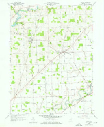
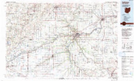
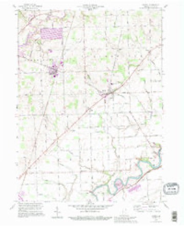
11 topographic sheets cover this place, the earliest surveyed in 1953 and the latest in 1992. It stands in Springfield Township. It lies in ZIP code area 46743. The Survey maps it on the Grabill quadrangle. It stands 781 feet above sea level.
Topographic sheets covering this place
5 surveys from 11 printed sheetsMatched by testing this settlement's coordinate against the published boundary of every sheet in the United States Geological Survey's historical collection. Each opens the scanned sheet at the Survey.
- 1953 USGS Fort Wayne quadrangle1:250000, 4 printings
- 1956 USGS Fort Wayne quadrangle1:250000, 2 printings
- 1958 USGS Grabill quadrangle1:24000, 3 printings
- 1986 USGS Defiance quadrangle1:100000
- 1992 USGS Grabill quadrangle1:24000


In the county-history sources
5,970 words on this townshipHistory of Allen County, Indiana., published 1880 names this settlement in its chapter on Springfield Township. These are the passages that mention it, exactly as the scans read.
Springfield is situated in the northeastern part of Allen County, and is bounded as flows: North by DeKalb County, east by Scipio Township, south by Maumee and Milan Townships, west by Cedar Creek Township. It has an area of 35.26 square miles. It was organized at the September term of the Board of County Commissioners, 1837, and comprised Township 32 north, of Range 14 east; and Township, 32 north, of Range 15 east, was attached thereto. In 1843, the latter township was organized as Scipio, thus reducing the boundaries of Springfield to their present limits.
Passage source: History of Allen County, Indiana., published 1880.
Jeremiah Whaley, a native of New York, visited the township in 1836, and entered a tract of land to whi h he removed in the succeeding year. He remained in the township until 1855, when he sold his farm, and went to reside in the State of Iowa. About a year later, he decided to return to his former home, but died during the journey.
Passage source: History of Allen County, Indiana., published 1880.
Machine-read from a century-old scan, so expect the errors a machine makes: misspelled names, dropped words, stray characters.
Read the whole chapter on Springfield Township - it names this place 3 more 3 times.
Mines and quarries near this place
1 within 5 milesRegional context, not property-specific evidence. The federal mineral resources record lists 1 working within 5 miles of Cuba: 1 producer. All of them still produce. What was taken out: Stone, Crushed/Broken. Distance is straight-line from the map coordinates, so a quarry counted here may appear on a neighbouring settlement's page as well.
| Where | Site | Commodity | Status | Recorded |
|---|---|---|---|---|
| Woodburn Stone Quarry & Plant | Stone, Crushed/Broken | Producer |
Storms near this place
2 since 2019Regional context, not property-specific evidence. The National Weather Service names Cuba in 2 storm reports between 2019 and 2021: 2 thunderstorm wind. No death or injury is recorded in these reports. Each account below is quoted exactly as the forecast office filed it, from the NOAA Storm Events Database, and each date opens the federal record of that event.
| When | Event | Place named | Harm | What the report says |
|---|---|---|---|---|
| June 2021 | Thunderstorm Wind | Cuba | - | Fire department reports powerlines down. |
| August 2019 | Thunderstorm Wind | Cuba | - | Emergency management officials reported a three foot diameter tree was blown down. |
Nearest settlements
The eight closest, with where each one stands in the county. Distances are straight-line, computed from the Geographic Names Information System coordinates.
| Map | Place | Distance | Sheets |
|---|---|---|---|
| Harlan | 1.2 miles | 11 | |
| Grabill | 2.3 miles | 11 | |
| Milan Center | 2.9 miles | 11 | |
| Bluecast | 4.3 miles | 11 | |
| Five Points | 4.3 miles | 11 | |
| Leo-Cedarville | 4.5 miles | 12 | |
| Cedarville | 4.6 miles | 12 | |
| Leo | 4.6 miles | 12 |
Elsewhere
Matched on this settlement's Geographic Names Information System number rather than its name, so it cannot be a different place of the same name in another state.
| Wikipedia article on Cuba | An encyclopaedic summary. Its text is share-alike, so it is linked here rather than copied. |
| Wikidata item Q5191931 | The structured record the population and elevation above come from. Public domain (CC0). |
Provenance
This settlement is recorded in the Geographic Names Information System as feature 433233. The sheet list is computed by point-in-boundary test against the United States Geological Survey's historical topographic inventory. Both are works of the United States government and carry no copyright under 17 U.S.C. 105.
Mines and quarries. USGS Mineral Resources Data System (MRDS) https://mrdata.usgs.gov/mrds/ A work of the United States government, no copyright under 17 U.S.C. 105.
Storms. NOAA National Centers for Environmental Information, Storm Events Database https://www.ncei.noaa.gov/stormevents/ A work of the United States government, no copyright under 17 U.S.C. 105. Narratives are quoted verbatim from the National Weather Service report and are not edited or summarised.