 Block
Celestine, Indiana
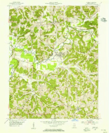
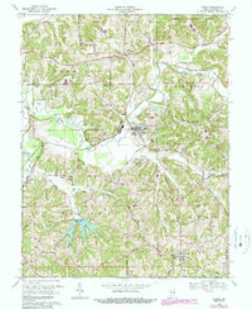
13 topographic sheets cover this place, the earliest surveyed in 1954 and the latest in 1994. It stands in Hall Township. It lies in ZIP code area 47521. The Survey maps it on the Dubois quadrangle. It stands 594 feet above sea level.
Topographic sheets covering this place
7 surveys from 13 printed sheetsMatched by testing this settlement's coordinate against the published boundary of every sheet in the United States Geological Survey's historical collection. Each opens the scanned sheet at the Survey.
- 1954 USGS Dubois quadrangle1:24000
- 1956 USGS Vincennes quadrangle1:250000, 4 printings
- 1957 USGS Vincennes quadrangle1:250000
- 1958 USGS Vincennes quadrangle1:250000, 2 printings
- 1969 USGS Dubois quadrangle1:24000, 3 printings
- 1986 USGS Jasper quadrangle1:100000
- 1994 USGS Jasper quadrangle1:100000



In the county-history sources
365 words on this townshipHistory of Dubois County from Its Primitive Days to 1910, published 1910 names this settlement in its chapter on Hall Township. These are the passages that mention it, exactly as the scans read.
Celestine. The town of Celestine is in the southeast quarter of section thirty-one, township one south, range three west, and it is the principal point in Hall township. Part of the land was bought of the United States, October 4, 1843, by Rev. Joseph Kundeck, its founder. He was also its only pastor from 1844 until 1853. The town was .surveyed and platted by Benjamin R. Kemp, county surveyor. The plat was acknowledged by Rev. Joseph Kundeck on the i6th day of November, 1843. The town is named in honor of Rt. Rev. Celestine Rene Lawrence De La Hailandiere, second bishop of the Vincennes diocese.
Passage source: History of Dubois County from Its Primitive Days to 1910, published 1910.
Machine-read from a century-old scan, so expect the errors a machine makes: misspelled names, dropped words, stray characters.
Mines and quarries near this place
2 within 5 milesRegional context, not property-specific evidence. The federal mineral resources record lists 2 workings within 5 miles of Celestine: 2 past producers. None of them still produces. What was taken out: Clay, Aluminum, Silica, Water, Free, Iron. Distance is straight-line from the map coordinates, so a quarry counted here may appear on a neighbouring settlement's page as well.
| Where | Site | Commodity | Status | Recorded |
|---|---|---|---|---|
| Coal I Underclays | Clay | Past Producer | ||
| Coal I Underclays | Aluminum, Silica, Water, Free, Iron | Past Producer |
Storms near this place
15 since 2001Regional context, not property-specific evidence. The National Weather Service names Celestine in 15 storm reports between 2001 and 2025: 11 thunderstorm wind, 3 hail, 1 flood. No death or injury is recorded in these reports. Each account below is quoted exactly as the forecast office filed it, from the NOAA Storm Events Database, and each date opens the federal record of that event.
| When | Event | Place named | Harm | What the report says |
|---|---|---|---|---|
| November 2005 | Thunderstorm Wind | Celestine | $50,000 | A National Weather Service survey team estimated 80 mph straight line winds destroyed a well built shed and a grain silo. |
| March 2020 | Thunderstorm Wind | Celestine | $5,000 | A public report on Facebook showed that a roof was torn off a barn. |
| March 2025 | Thunderstorm Wind | Celestine | - | A power line was down on Schnellville Road. |
| March 2025 | Thunderstorm Wind | Celestine | - | Trees and power lines were down on 500 East, south of State Road 164. |
| June 2025 | Thunderstorm Wind | Celestine | - | A tree was blown down, blocking one lane of the road. |
| December 2025 | Thunderstorm Wind | Celestine | - | A tree fell down. |
| May 2022 | Thunderstorm Wind | Celestine | - | A tree was blocking County Road 400 East, north of Schnellville Road. |
| June 2022 | Thunderstorm Wind | Celestine | - | There was a tree down. |
| February 2019 | Thunderstorm Wind | Celestine | - | A tree was reported down on State Road 164 west of Celestine. |
| June 2018 | Flood | Celestine | - | The emergency manager reported Santine Road being under water. |
| July 2016 | Thunderstorm Wind | Celestine | - | The Dubois County emergency manager reported large trees down at State Road 164 and Steinbottom Road. |
| June 2009 | Thunderstorm Wind | Celestine | - | A few trees were downed. |
| July 2004 | Hail | Celestine | - | Emergency management also estimated a 45 mph wind gust. |
| March 2012 | Hail | Celestine | - | no account filed |
| June 2001 | Hail | Celestine | - | no account filed |
Nearest settlements
The eight closest, with where each one stands in the county. Distances are straight-line, computed from the Geographic Names Information System coordinates.
| Map | Place | Distance | Sheets |
|---|---|---|---|
| Schnellville | 3.2 miles | 13 | |
| Ellsworth | 4.4 miles | 13 | |
| Dubois | 4.4 miles | 13 | |
| Saint Anthony | 5.5 miles | 13 | |
| Kyana | 5.5 miles | 13 | |
| Mentor | 5.7 miles | 13 | |
| Saint Marks | 5.8 miles | 13 | |
| Maltersville | 6.4 miles | 14 |
Elsewhere
Matched on this settlement's Geographic Names Information System number rather than its name, so it cannot be a different place of the same name in another state.
| Wikipedia article on Celestine | An encyclopaedic summary. Its text is share-alike, so it is linked here rather than copied. |
| Wikidata item Q5057930 | The structured record the population and elevation above come from. Public domain (CC0). |
Provenance
This settlement is recorded in the Geographic Names Information System as feature 432294. The sheet list is computed by point-in-boundary test against the United States Geological Survey's historical topographic inventory. Both are works of the United States government and carry no copyright under 17 U.S.C. 105.
Mines and quarries. USGS Mineral Resources Data System (MRDS) https://mrdata.usgs.gov/mrds/ A work of the United States government, no copyright under 17 U.S.C. 105.
Storms. NOAA National Centers for Environmental Information, Storm Events Database https://www.ncei.noaa.gov/stormevents/ A work of the United States government, no copyright under 17 U.S.C. 105. Narratives are quoted verbatim from the National Weather Service report and are not edited or summarised.