 Block
Ellsworth, Indiana
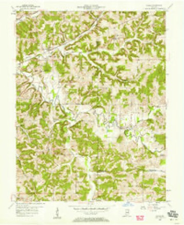
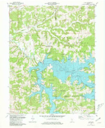
13 topographic sheets cover this place, the earliest surveyed in 1956 and the latest in 1994. It stands in Hall Township. It lies in ZIP code area 47521. It stands on Lick Fork. The Survey maps it on the Cuzco quadrangle.
Topographic sheets covering this place
7 surveys from 13 printed sheetsMatched by testing this settlement's coordinate against the published boundary of every sheet in the United States Geological Survey's historical collection. Each opens the scanned sheet at the Survey.
- 1956 USGS Vincennes quadrangle1:250000, 4 printings
- 1957 USGS Cuzco quadrangle1:24000, 2 printings
- 1957 USGS Vincennes quadrangle1:250000
- 1958 USGS Vincennes quadrangle1:250000, 2 printings
- 1980 USGS Cuzco quadrangle1:24000, 2 printings
- 1986 USGS Jasper quadrangle1:100000
- 1994 USGS Jasper quadrangle1:100000



In the county-history sources
365 words on this townshipHistory of Dubois County from Its Primitive Days to 1910, published 1910 names this settlement in its chapter on Hall Township. These are the passages that mention it, exactly as the scans read.
One of the finest springs in Dubois county may be found upon the farm of Thos. J. Nolan, near Ellsworth. It bursts from the outcrop of Kaskaskia limestone and goes tumbling and gushing down its rocky road until it reaches the ground, then divides and forms two full grown streams that empty into Lick Fork, which eventually reaches Patoka river. The spring discharges 60,000 gallons or nearlj^ 2,000 barrels of good, pure water dail3^ Measurements have shown these figures to represent its actual capacity. The temperature of the water is fifty-two degrees, Fahr.
Passage source: History of Dubois County from Its Primitive Days to 1910, published 1910.
Ellsworth. The little town of Ellsworth bears date of June i, 1885. on which da}- it was surveyed and platted, at the request of James M. Ellis, who held title to the land. A postoffice had previously been established, and Mr. Ellis was the postmaster and principal merchant. It is in part of the west half of the southwest quarter of section fourteen, township one south, range three west. The land was entered by Zachariah Nicholson on May 4, 1837, and October 12, 1848.
Passage source: History of Dubois County from Its Primitive Days to 1910, published 1910.
Machine-read from a century-old scan, so expect the errors a machine makes: misspelled names, dropped words, stray characters.
Fires near this place
1 since 2004Regional context, not property-specific evidence. The federal wildfire occurrence database lists 1 fire within 5 miles of Ellsworth in 2004, burning under an acre in total. None started naturally. None was recorded as arson. Distance is straight-line from the map coordinates, so a fire counted here may appear on a neighbouring settlement's page as well.
| Reported cause | Fires |
|---|---|
| Debris and open burning | 1 |
The most recent of them, most recent first, with the day each was reported and the service that recorded it.
| Date | Cause | Size | Reported by | Name on the report |
|---|---|---|---|---|
| 28 February 2004 | Debris and open burning | under an acre | Hoosier National Forest | TWO DOG |
Settlements close enough to share some of these fires:
Storms near this place
2 since 2018Regional context, not property-specific evidence. The National Weather Service names Ellsworth in 2 storm reports between 2018 and 2026: 2 thunderstorm wind. No death or injury is recorded in these reports. Each account below is quoted exactly as the forecast office filed it, from the NOAA Storm Events Database, and each date opens the federal record of that event.
| When | Event | Place named | Harm | What the report says |
|---|---|---|---|---|
| March 2026 | Thunderstorm Wind | Ellsworth | - | A tree was in the roadway at East Ellsworth and North 900 East. There was another large tree, 2 feet in diameter, blocking both lanes on the 7800 block of East State Road 164. |
| May 2018 | Thunderstorm Wind | Ellsworth | - | Trees were reported down along Cuzco Road in Dubois County, IN. |
Nearest settlements
The eight closest, with where each one stands in the county. Distances are straight-line, computed from the Geographic Names Information System coordinates.
| Map | Place | Distance | Sheets |
|---|---|---|---|
| Cuzco | 3.3 miles | 13 | |
| Celestine | 4.4 miles | 13 | |
| Dubois | 4.7 miles | 13 | |
| Crystal | 4.8 miles | 13 | |
| Hillham | 6.0 miles | 13 | |
| Dubois Crossroads | 6.2 miles | 13 | |
| Schnellville | 6.3 miles | 13 | |
| Kellerville | 7.1 miles | 13 |
Provenance
This settlement is recorded in the Geographic Names Information System as feature 450890. The sheet list is computed by point-in-boundary test against the United States Geological Survey's historical topographic inventory. Both are works of the United States government and carry no copyright under 17 U.S.C. 105.
Wildfire. Short, Karen C. 2022. Spatial wildfire occurrence data for the United States, 1992-2020 [FPA_FOD_20221014]. 6th Edition. Fort Collins, CO: Forest Service Research Data Archive. https://doi.org/10.2737/RDS-2013-0009.6 Collected with United States Government funding and usable without additional permissions or fees.
Storms. NOAA National Centers for Environmental Information, Storm Events Database https://www.ncei.noaa.gov/stormevents/ A work of the United States government, no copyright under 17 U.S.C. 105. Narratives are quoted verbatim from the National Weather Service report and are not edited or summarised.