 Block
Clifton, Indiana
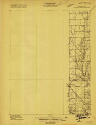
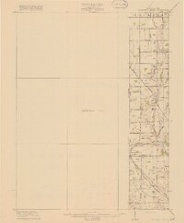
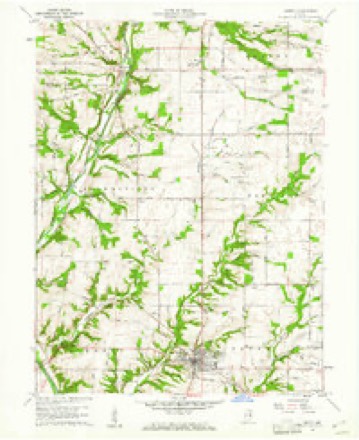
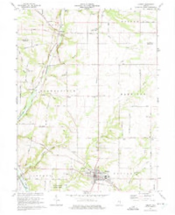
14 topographic sheets cover this place, the earliest surveyed in 1915 and the latest in 1986. It stands in Brownsville Township. It lies in ZIP code area 47353. It stands on Bear Branch. The Survey maps it on the Liberty quadrangle.
Topographic sheets covering this place
7 surveys from 14 printed sheetsMatched by testing this settlement's coordinate against the published boundary of every sheet in the United States Geological Survey's historical collection. Each opens the scanned sheet at the Survey.
- 1915 USGS College Corner quadrangle1:48000
- 1918 USGS College Corner quadrangle1:62500, 4 printings
- 1953 USGS Cincinnati quadrangle1:250000, 3 printings
- 1957 USGS Cincinnati quadrangle1:250000
- 1960 USGS Liberty quadrangle1:24000
- 1974 USGS Liberty quadrangle1:24000, 2 printings
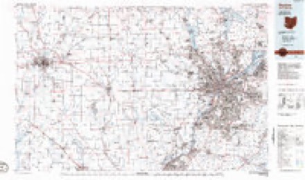
- 1986 USGS Dayton quadrangle1:100000, 2 printings


Mines and quarries near this place
2 within 5 milesRegional context, not property-specific evidence. The federal mineral resources record lists 2 workings within 5 miles of Clifton: 2 producers. All of them still produce. What was taken out: Sand and Gravel, Construction, Stone. Distance is straight-line from the map coordinates, so a quarry counted here may appear on a neighbouring settlement's page as well.
| Where | Site | Commodity | Status | Recorded |
|---|---|---|---|---|
| Union Co. Hwy. Dept | Stone | Producer | ||
| Union County Materials | Sand and Gravel, Construction | Producer |
Storms near this place
5 since 1999Regional context, not property-specific evidence. The National Weather Service names Clifton in 5 storm reports between 1999 and 2019: 3 thunderstorm wind, 1 flash flood, 1 tornado. No death or injury is recorded in these reports. Each account below is quoted exactly as the forecast office filed it, from the NOAA Storm Events Database, and each date opens the federal record of that event.
| When | Event | Place named | Harm | What the report says |
|---|---|---|---|---|
| June 2019 | Tornado (EF1) | Clifton | $35,000 | The tornado first touched down on the 1700 block of North U.S. Route 27, where a swirl was observed in a field just to the southwest of a well-constructed, 110 ft by 105 ft metal farm storage building. Several 4 X 4`s were snapped and the building was completely destroyed. Metal debris from this building was identified over 2 miles to the northeast. Wood debris from the barn was located from south to north in a semicircle approximately two hundred yards wide. In addition, there was a convergent path of wood and metal debris off to the northeast. Along this convergent path, a significant amount of debris was deposited in a tree line approximately a half mile to the northeast.||Additional damage was observed along the 1700 block of East Mitchell Road. An eyewitness saw the tornado a half mile to the southwest, and estimated the width as around 100 feet. He also observed large pieces of metal rotating in the tornado. At his property, an ornamental iron fence was bent down at a 45 degree angle due to a combination of winds associated with the tornado and debris from the location on North U.S. Route 27. The home also suffered some damage, including glass from a storm door blown in and broken glass from four windows. A circular item around three|feet in diameter and weighing two hundred pounds was lifted up, hit the house and then deposited about a couple hundred feet in a ditch behind the house. Numerous trees and large limbs across the property were also knocked down. A few of the trees reached diameters up to two feet.||Debris was evident in the field northeast of the East Mitchell Road residence. This debris was associated with the large metal building at the first location.||Additional damage was found further northeast at a residence on County Road 200 East. Several trees were downed, with one falling on the roof of a house and causing damage. This is the last known damage that occurred from this tornado. |
| February 1999 | Thunderstorm Wind | Clifton | $10,000 | Storms damaged a residence and a shed, and knocked down trees. |
| June 2016 | Thunderstorm Wind | Clifton | $7,000 | Six to seven electric poles in a row were snapped in half or tilted. |
| May 2015 | Thunderstorm Wind | Clifton | $2,000 | An outdoor barn and storage facility were damaged. |
| April 2018 | Flash Flood | Clifton | - | Yankeetown Bridge was closed due to high water. |
Nearest settlements
The eight closest, with where each one stands in the county. Distances are straight-line, computed from the Geographic Names Information System coordinates.
| Map | Place | Distance | Sheets |
|---|---|---|---|
| Hopeville | 1.1 miles | 14 | |
| Yankee Town | 1.6 miles | 14 | |
| Brownsville | 3.1 miles | 10 | |
| Philomath | 3.9 miles | 10 | |
| Liberty | 4.0 miles | 14 | |
| Kitchel | 5.0 miles | 13 | |
| Witts Station | 5.2 miles | 13 | |
| Five Points | 5.7 miles | 13 |
Provenance
This settlement is recorded in the Geographic Names Information System as feature 432653. The sheet list is computed by point-in-boundary test against the United States Geological Survey's historical topographic inventory. Both are works of the United States government and carry no copyright under 17 U.S.C. 105.
Mines and quarries. USGS Mineral Resources Data System (MRDS) https://mrdata.usgs.gov/mrds/ A work of the United States government, no copyright under 17 U.S.C. 105.
Storms. NOAA National Centers for Environmental Information, Storm Events Database https://www.ncei.noaa.gov/stormevents/ A work of the United States government, no copyright under 17 U.S.C. 105. Narratives are quoted verbatim from the National Weather Service report and are not edited or summarised.