 Block
Cofield Corner, Indiana
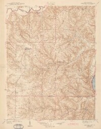
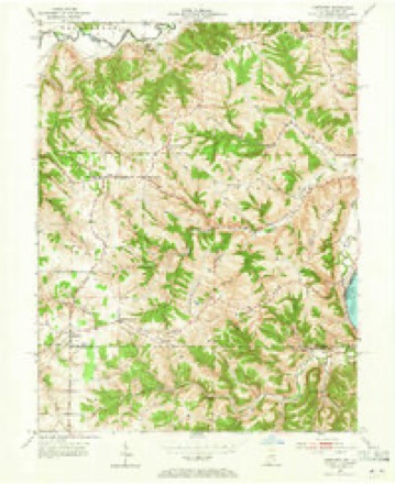
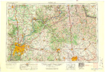
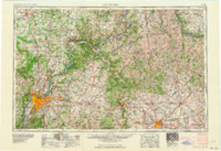
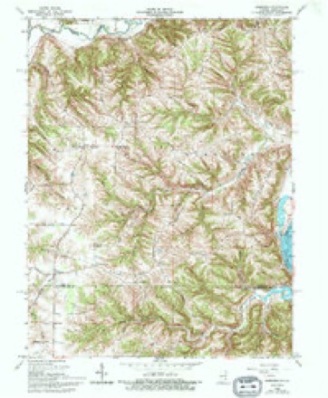
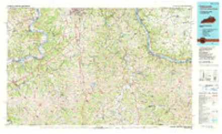
12 topographic sheets cover this place, the earliest surveyed in 1943 and the latest in 1986. It stands in Cass Township. It lies in ZIP code area 47040. The Survey maps it on the Aberdeen quadrangle. It stands 879 feet above sea level.
Topographic sheets covering this place
6 surveys from 12 printed sheetsMatched by testing this settlement's coordinate against the published boundary of every sheet in the United States Geological Survey's historical collection. Each opens the scanned sheet at the Survey.
- 1943 USGS Aberdeen quadrangle1:24000, 2 printings
- 1953 USGS Aberdeen quadrangle1:24000, 2 printings
- 1956 USGS Louisville quadrangle1:250000, 2 printings
- 1964 USGS Louisville quadrangle1:250000
- 1965 USGS Aberdeen quadrangle1:24000, 3 printings
- 1986 USGS Falmouth quadrangle1:100000, 2 printings
Storms near this place
5 since 2015Regional context, not property-specific evidence. The National Weather Service names Cofield Corner in 5 storm reports between 2015 and 2023: 4 thunderstorm wind, 1 tornado. No death or injury is recorded in these reports. Each account below is quoted exactly as the forecast office filed it, from the NOAA Storm Events Database, and each date opens the federal record of that event.
| When | Event | Place named | Harm | What the report says |
|---|---|---|---|---|
| March 2017 | Thunderstorm Wind | Cofield Corner | $40,000 | Three properties along Indiana State Route 56, a few miles west of the Ohio River, sustained damage, starting in the west near Stewart Ridge Road and running about a mile to the east. Several outbuildings and garages were significantly damaged, though homes suffered only minor roof and siding damage. Tree damage in this area was scattered but there were a few uprootings and a couple areas where trees were snapped. The damage was consistent with winds in the 70 to 80 mph range. |
| April 2020 | Tornado (EF0) | Cofield Corner | $20,000 | The tornado first touched down along the 7300 block of Salem Ridge Road and tracked 5.25 miles to the east, before lifting near Rising Sun. Damage to roofs, siding, power poles and trees occurred, with damage becoming more diffuse and sparse as the storm headed east. |
| March 2017 | Thunderstorm Wind | Cofield Corner | $10,000 | Numerous trees were downed across the county. |
| July 2023 | Thunderstorm Wind | Cofield Corner | $3,000 | A few trees were downed along White Road. |
| July 2015 | Thunderstorm Wind | Cofield Corner | $1,000 | Two trees were downed onto State Route 262. |
Nearest settlements
The eight closest, with where each one stands in the county. Distances are straight-line, computed from the Geographic Names Information System coordinates.
| Map | Place | Distance | Sheets |
|---|---|---|---|
| Hartford | 2.8 miles | 12 | |
| Downey Corner | 2.9 miles | 8 | |
| Bascom Corner | 3.1 miles | 12 | |
| Blue | 3.1 miles | 8 | |
| Milton | 3.4 miles | 8 | |
| Aberdeen | 3.6 miles | 12 | |
| Rising Sun | 5.6 miles | 12 | |
| Norths Landing | 5.7 miles | 12 |
Elsewhere
Matched on this settlement's Geographic Names Information System number rather than its name, so it cannot be a different place of the same name in another state.
| Wikidata item Q27988920 | The structured record the population and elevation above come from. Public domain (CC0). |
Provenance
This settlement is recorded in the Geographic Names Information System as feature 432741. The sheet list is computed by point-in-boundary test against the United States Geological Survey's historical topographic inventory. Both are works of the United States government and carry no copyright under 17 U.S.C. 105.
Storms. NOAA National Centers for Environmental Information, Storm Events Database https://www.ncei.noaa.gov/stormevents/ A work of the United States government, no copyright under 17 U.S.C. 105. Narratives are quoted verbatim from the National Weather Service report and are not edited or summarised.