 Block
Dogwood, Indiana
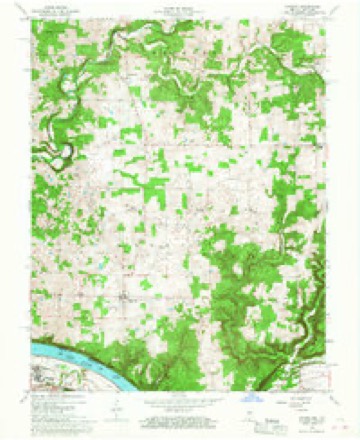
20 topographic sheets cover this place, the earliest surveyed in 1931 and the latest in 1994. It stands in Webster Township. It lies in ZIP code area 47135. It stands on South Fork Buck Creek. The Survey maps it on the Laconia quadrangle. It stands 676 feet above sea level.
Topographic sheets covering this place
10 surveys from 20 printed sheetsMatched by testing this settlement's coordinate against the published boundary of every sheet in the United States Geological Survey's historical collection. Each opens the scanned sheet at the Survey.
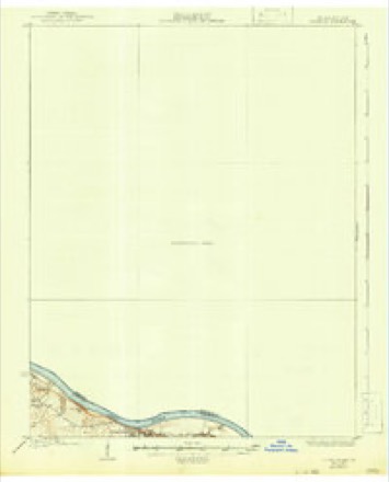
- 1931 USGS Corydon quadrangle1:62500, 4 printings
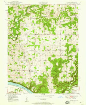
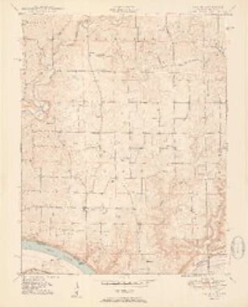
- 1948 USGS Laconia quadrangle1:24000
- 1950 USGS Corydon quadrangle1:62500
- 1950 USGS Laconia quadrangle1:24000, 2 printings
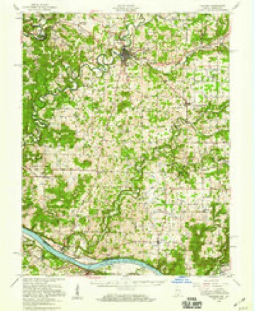
- 1956 USGS Vincennes quadrangle1:250000, 4 printings
- 1957 USGS Vincennes quadrangle1:250000
- 1958 USGS Vincennes quadrangle1:250000, 2 printings
- 1966 USGS Laconia quadrangle1:24000, 3 printings
- 1986 USGS Jasper quadrangle1:100000
- 1994 USGS Jasper quadrangle1:100000



Storms near this place
7 since 2000Regional context, not property-specific evidence. The National Weather Service names Dogwood in 7 storm reports between 2000 and 2024: 5 thunderstorm wind, 1 tornado, 1 flash flood. No death or injury is recorded in these reports. Each account below is quoted exactly as the forecast office filed it, from the NOAA Storm Events Database, and each date opens the federal record of that event.
| When | Event | Place named | Harm | What the report says |
|---|---|---|---|---|
| December 2018 | Tornado (EF1) | Dogwood | $20,000 | A National Weather Service damage survey team determined an intermittent skipping tornado varying in width, size and speed had a maximum wind speed of 100 mph along with a max width of 140 yards.||The tornado initially touched down at 7231 IN-337. At this location, a heavy metal chain fence weighing several hundred pounds was picked up and thrown 30 yards into the back of the house causing significant damage to the house. A chicken house weighing hundreds of pounds was rolled over and moved several feet. A purple Martin house was bent over 60 degrees facing east. Shingles and yard decorations were thrown in various directions east of the house along with driveway gravel thrown in every direction. A swing set was thrown from the back of the house to the front. Throughout the property there were twisted and uprooted trees.||Just before crossing the highway, the tornado increased from 75 yards to 140 yards in width and picked up hundreds of cornstalks tossing them in various directions across the road up to 300 yards away. Across the street at 7768 IN-337 there was significant cedar tree damage along with a 30 by 40 foot barn that was destroyed. The tornado twisted and snapped several cedar trees before going across the farmers field. The tornado narrowed and went to about 50 yards in width.||At 4368 Rogers Campground Road there were several trees twisted and snapped. One single-wide mobile home had siding panels blown out in several spots. An older, well-built barn with sturdy cedar poles sustained significant side panel damage. The metal sheeting was thrown in a northwesterly to northeasterly direction. One 2x4 wood pole was embedded in the ground. The tornado was very narrow along Rogers Campground Road, likely no more than 50 yards wide. |
| April 2024 | Thunderstorm Wind | Dogwood | - | There was a report of shingles blown off of something. |
| March 2023 | Flash Flood | Dogwood | - | Flash Flooding occurred along Union Chapel Road. |
| June 2019 | Thunderstorm Wind | Dogwood | - | Trees blew down along Lake Road and Highway 337. |
| September 2018 | Thunderstorm Wind | Dogwood | - | A tree fell down across Lake Road. |
| June 2010 | Thunderstorm Wind | Dogwood | - | One tree was blown down and a power line was down in the southern part of Harrison county. |
| September 2000 | Thunderstorm Wind | Dogwood | - | no account filed |
Nearest settlements
The eight closest, with where each one stands in the county. Distances are straight-line, computed from the Geographic Names Information System coordinates.
| Map | Place | Distance | Sheets |
|---|---|---|---|
| Rehoboth | 3.6 miles | 20 | |
| Central | 3.9 miles | 21 | |
| New Middletown | 4.4 miles | 21 | |
| Laconia | 5.1 miles | 20 | |
| Elizabeth | 5.9 miles | 20 | |
| Seven Springs | 6.2 miles | 19 | |
| Glidas | 6.3 miles | 21 | |
| Buena Vista | 6.4 miles | 20 |
Elsewhere
Matched on this settlement's Geographic Names Information System number rather than its name, so it cannot be a different place of the same name in another state.
| Wikipedia article on Dogwood | An encyclopaedic summary. Its text is share-alike, so it is linked here rather than copied. |
| Wikidata item Q5288502 | The structured record the population and elevation above come from. Public domain (CC0). |
Provenance
This settlement is recorded in the Geographic Names Information System as feature 433609. The sheet list is computed by point-in-boundary test against the United States Geological Survey's historical topographic inventory. Both are works of the United States government and carry no copyright under 17 U.S.C. 105.
Storms. NOAA National Centers for Environmental Information, Storm Events Database https://www.ncei.noaa.gov/stormevents/ A work of the United States government, no copyright under 17 U.S.C. 105. Narratives are quoted verbatim from the National Weather Service report and are not edited or summarised.