 Block
Eagletown, Indiana
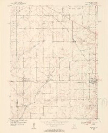
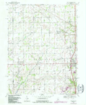
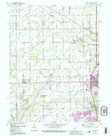
12 topographic sheets cover this place, the earliest surveyed in 1953 and the latest in 1992. It stands in Westfield Washington Township. It lies in ZIP code area 46074. The Survey maps it on the Westfield quadrangle. It stands 902 feet above sea level.
Topographic sheets covering this place
7 surveys from 12 printed sheetsMatched by testing this settlement's coordinate against the published boundary of every sheet in the United States Geological Survey's historical collection. Each opens the scanned sheet at the Survey.
- 1953 USGS Danville quadrangle1:250000, 3 printings
- 1953 USGS Westfield quadrangle1:24000, 2 printings
- 1955 USGS Danville quadrangle1:250000
- 1956 USGS Danville quadrangle1:250000
- 1969 USGS Westfield quadrangle1:24000, 2 printings
- 1984 USGS Lafayette quadrangle1:100000, 2 printings
- 1992 USGS Westfield quadrangle1:24000




Storms near this place
15 since 2008Regional context, not property-specific evidence. The National Weather Service names Eagletown in 15 storm reports between 2008 and 2025: 7 hail, 6 thunderstorm wind, 2 lightning. No death or injury is recorded in these reports. Each account below is quoted exactly as the forecast office filed it, from the NOAA Storm Events Database, and each date opens the federal record of that event.
| When | Event | Place named | Harm | What the report says |
|---|---|---|---|---|
| April 2020 | Thunderstorm Wind | Eagletown | $15,000 | Several power lines downed due to thunderstorm wind gusts near 171st St and State Road 32. Other reports of tree limbs snapped received in the same general area. |
| February 2008 | Lightning | Eagletown | $10,000 | Lightning struck a home in Hamilton County and left a charred area in the center of the living room floor. Firefighters discovered the fire had burned in a cavity located between the first and second levels of the home, producing a large area of charred building material. |
| May 2019 | Thunderstorm Wind | Eagletown | $5,000 | A 12-inch diameter, live branch was downed at 156th Street and Ditch Road due to damaging thunderstorm wind gusts. Numerous similar sized trees were down in the area. |
| May 2019 | Thunderstorm Wind | Eagletown | $1,500 | A large tree split in two near the base along New Haven Drive in Westfield due to damaging thunderstorm wind gusts. There may have been another tree next to it that blew over. |
| May 2019 | Thunderstorm Wind | Eagletown | $1,000 | A construction trailer was rolled over at 146th Street and Towne Road due to damaging thunderstorm wind gusts. |
| May 2019 | Thunderstorm Wind | Eagletown | $500 | A small tree was snapped at the trunk on Bridgeport Drive in Westfield due to strong thunderstorm wind gusts. |
| June 2008 | Lightning | Eagletown | $500 | Homeowners of a residence on Montgomery Drive heard thunder, the lights went out, and their living room curtains were ignited. They were able to extinguish the fire using a garden hose from the backyard. Damage was limited to a curtain and a small area of carpeting. |
| May 2019 | Thunderstorm Wind | Eagletown | $250 | A roughly 4-inch diameter tree branch was broken due to strong thunderstorm wind gusts. |
| July 2023 | Hail | Eagletown | - | At the intersection of Ditch Road and Indiana Route 32 hail increased from pea-sized to quarter-sized in heavy rain and wind gusts estimated up to 57 mph. Hail was also reported to be as large as 1.75 inches 1 mile southwest of Westfield. |
| March 2021 | Hail | Eagletown | - | Relayed via mPing. |
| March 2011 | Hail | Eagletown | - | Quarter sized hail was reported at the intersection of Highway 32 and Spring Mill Road. |
| April 2025 | Hail | Eagletown | - | no account filed |
| March 2021 | Hail | Eagletown | - | no account filed |
| April 2020 | Hail | Eagletown | - | no account filed |
| May 2015 | Hail | Eagletown | - | no account filed |
Nearest settlements
The eight closest, with where each one stands in the county. Distances are straight-line, computed from the Geographic Names Information System coordinates.
| Map | Place | Distance | Sheets |
|---|---|---|---|
| Pleasant View (historical) | 1.6 miles | 12 | |
| Jolietville | 2.0 miles | 12 | |
| Lamong | 3.0 miles | 12 | |
| Kingsborough | 3.4 miles | 17 | |
| Hortonville | 3.5 miles | 12 | |
| Westfield | 3.5 miles | 12 | |
| Saddle Creek | 3.7 miles | 17 | |
| Austin Oaks | 5.4 miles | 17 |
Elsewhere
Matched on this settlement's Geographic Names Information System number rather than its name, so it cannot be a different place of the same name in another state.
| Wikipedia article on Eagletown | An encyclopaedic summary. Its text is share-alike, so it is linked here rather than copied. |
| Wikidata item Q5325401 | The structured record the population and elevation above come from. Public domain (CC0). |
Provenance
This settlement is recorded in the Geographic Names Information System as feature 433857. The sheet list is computed by point-in-boundary test against the United States Geological Survey's historical topographic inventory. Both are works of the United States government and carry no copyright under 17 U.S.C. 105.
Storms. NOAA National Centers for Environmental Information, Storm Events Database https://www.ncei.noaa.gov/stormevents/ A work of the United States government, no copyright under 17 U.S.C. 105. Narratives are quoted verbatim from the National Weather Service report and are not edited or summarised.