 Block
Elberfeld, Indiana
20 topographic sheets cover this place, the earliest surveyed in 1902 and the latest in 1986. It stands in Greer Township. It lies in ZIP code area 47613. The Survey maps it on the Elberfeld quadrangle. 644 people lived here at the 2020 count. It stands 453 feet above sea level.
Population over time
2 figuresElberfeld grew from 625 to 644 between 2010 and 2020. These are the recorded population figures Wikidata holds for this place, reached through the Geographic Names Information System number this page is keyed on rather than by name, so they belong to this place and not to another of the same name. Most are census counts, but not all are: an early figure may be a founding or settlement estimate, and an estimate published within five years of a census is left out. The change column is computed, and is left blank where more than 20 years separate a figure from the one before it, because a gap that long is not a change between two counts.
| Year | People | Change |
|---|---|---|
| 2010 | 625 | |
| 2020 | 644 | +19 (+3%) |
Topographic sheets covering this place
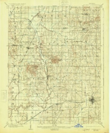
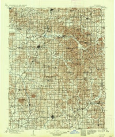
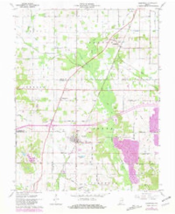
7 surveys from 20 printed sheetsMatched by testing this settlement's coordinate against the published boundary of every sheet in the United States Geological Survey's historical collection. Each opens the scanned sheet at the Survey.
- 1902 USGS Boonville quadrangle1:62500, 4 printings
- 1902 USGS Ditney quadrangle1:125000, 3 printings
- 1956 USGS Vincennes quadrangle1:250000, 4 printings
- 1957 USGS Vincennes quadrangle1:250000
- 1958 USGS Vincennes quadrangle1:250000, 2 printings
- 1961 USGS Elberfeld quadrangle1:24000, 4 printings
- 1986 USGS Princeton quadrangle1:100000, 2 printings




In the county-history sources
92 words on this townshipWarrick and Its Prominent People : a History of Warrick County, Indiana, from the Time of Its Organization and Settlement, with Biographical Sketches of Some of Its Prominent People of the Past and Present, published 1881 has no passage naming this settlement, which was common for smaller places. Its township is covered in full.
The chapter on Greer Township covers the township.
Read the chapter on Greer Township - 92 words.
Storms near this place
10 since 2004Regional context, not property-specific evidence. The National Weather Service names Elberfeld in 10 storm reports between 2004 and 2024: 3 thunderstorm wind, 3 tornado, 2 hail, 1 flood. No death or injury is recorded in these reports. Each account below is quoted exactly as the forecast office filed it, from the NOAA Storm Events Database, and each date opens the federal record of that event.
| When | Event | Place named | Harm | What the report says |
|---|---|---|---|---|
| March 2008 | Flood | Elberfeld | $200,000 | Major flooding occurred after 7 to 10 inches of rain fell in 36 hours. Many roads were closed, including one major road. The county exhausted its supply of road closed signs. Sand bags were distributed to homeowners and business owners threatened by flooding. A mudslide on Rockport Road exposed a gas line. Floodwaters rushed over the top of a bridge on a seconday road just north of Chandler. A railroad track along U.S. Highway 62 was flooded. An SUV was washed off a secondary road into a ditch. Roadways and culverts were washed out. |
| April 2024 | Tornado (EF1) | Elberfeld | $75,000 | An EF-1 tornado progressed into northwestern Warrick County, IN, after having begun in northeast Vanderburgh County during the early morning hours of April 2nd. Damage to several trees in tree lines between Elberfeld Rd and Seven Hills Rd was observed. The tornado continued south-southeastward south of Elberfeld, shifting more eastward at Seven Hills Rd. A barn was destroyed on Seven Hills Rd with tree damage observed further east. The tornado lifted near Pigeon Creek. Estimated peak winds for this tornado and for the Warrick County portion of it, were 105 mph. |
| May 2011 | Thunderstorm Wind | Elberfeld | $50,000 | Several large trees were uprooted, and dozens of large tree limbs were down throughout town. Some shingles were blown off the fire station. A large tree fell on a garage. |
| April 2015 | Tornado (EF1) | Elberfeld | $30,000 | This tornado continued from Vanderburgh County. The majority of the damage with this tornado occurred in Vanderburgh County. Most of the damage path in Warrick County was through rural areas. A few homes lost shingles and gutters. Dozens of trees were uprooted or snapped. The average path width was 325 yards. Peak winds were estimated near 110 mph. |
| April 2024 | Thunderstorm Wind | Elberfeld | $25,000 | Two semis were blown off the road near the intersection of I-69 and I-64. |
| April 2024 | Tornado (EF1) | Elberfeld | $5,000 | An EF-1 tornado continued into Warrick County from Vanderburgh County during the early morning hours on April 2nd. The tornado continues tracking southeastward, producing snapped tree trunks at Bethe Lane where the tornado merged into another tornado track. Estimated peak winds for the Warrick County portion of the tornado were 105 mph. |
| September 2022 | Flash Flood | Elberfeld | - | Water completely covered the intersection of Highways 57 and 68. |
| April 2006 | Hail | Elberfeld | - | no account filed |
| June 2006 | Hail | Elberfeld | - | no account filed |
| May 2004 | Thunderstorm Wind | Elberfeld | - | no account filed |
Nearest settlements
The eight closest, with where each one stands in the county. Distances are straight-line, computed from the Geographic Names Information System coordinates.
| Map | Place | Distance | Sheets |
|---|---|---|---|
| Wheatonville | 2.0 miles | 20 | |
| Rosebud | 3.1 miles | 20 | |
| Stanley | 5.0 miles | 21 | |
| Millersburg | 5.0 miles | 20 | |
| Fisherville | 5.2 miles | 20 | |
| Jarretts | 5.5 miles | 19 | |
| Saint John | 5.6 miles | 20 | |
| Baugh City | 8.4 miles | 20 |
Elsewhere
Matched on this settlement's Geographic Names Information System number rather than its name, so it cannot be a different place of the same name in another state.
| Wikipedia article on Elberfeld | An encyclopaedic summary. Its text is share-alike, so it is linked here rather than copied. |
| Wikidata item Q2312564 | The structured record the population and elevation above come from. Public domain (CC0). |
Provenance
This settlement is recorded in the Geographic Names Information System as feature 434059. The sheet list is computed by point-in-boundary test against the United States Geological Survey's historical topographic inventory. Both are works of the United States government and carry no copyright under 17 U.S.C. 105.
Storms. NOAA National Centers for Environmental Information, Storm Events Database https://www.ncei.noaa.gov/stormevents/ A work of the United States government, no copyright under 17 U.S.C. 105. Narratives are quoted verbatim from the National Weather Service report and are not edited or summarised.