 Block
Stanley, Indiana
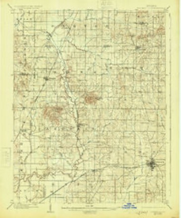
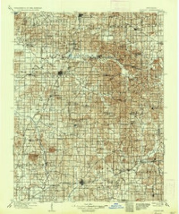
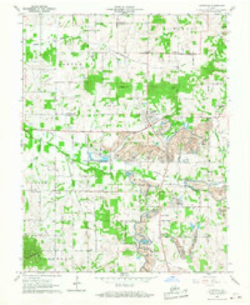
21 topographic sheets cover this place, the earliest surveyed in 1902 and the latest in 1986. It stands in Hart Township. It lies in ZIP code area 47619. It stands on Little Creek. The Survey maps it on the Lynnville quadrangle.
Topographic sheets covering this place
7 surveys from 21 printed sheetsMatched by testing this settlement's coordinate against the published boundary of every sheet in the United States Geological Survey's historical collection. Each opens the scanned sheet at the Survey.
- 1902 USGS Boonville quadrangle1:62500, 4 printings
- 1902 USGS Ditney quadrangle1:125000, 3 printings
- 1956 USGS Vincennes quadrangle1:250000, 4 printings
- 1957 USGS Vincennes quadrangle1:250000
- 1958 USGS Vincennes quadrangle1:250000, 2 printings
- 1960 USGS Lynnville quadrangle1:24000, 5 printings
- 1986 USGS Princeton quadrangle1:100000, 2 printings




In the county-history sources
165 words on this townshipWarrick and Its Prominent People : a History of Warrick County, Indiana, from the Time of Its Organization and Settlement, with Biographical Sketches of Some of Its Prominent People of the Past and Present, published 1881 has no passage naming this settlement, which was common for smaller places. Its township is covered in full.
The chapter on Hart Township covers the township.
Read the chapter on Hart Township - 165 words.
Storms near this place
1 since 2024Regional context, not property-specific evidence. The National Weather Service names Stanley in 1 storm report in 2024: 1 tornado. No death or injury is recorded in these reports. Each account below is quoted exactly as the forecast office filed it, from the NOAA Storm Events Database, and each date opens the federal record of that event.
| When | Event | Place named | Harm | What the report says |
|---|---|---|---|---|
| April 2024 | Tornado (EF1) | Stanley | $100,000 | An EF-1 tornado formed in northern Warrick County, IN, during the early morning hours of April 2nd. The tornado did damage to part of a roof on Turpin Hill Rd along with snapping many trees near the Turpin Hill Rd railroad crossing. The tornado shifted southeastward, regaining an easterly trajectory upon reaching Old Kelly Rd. On Folsomville Rd, a large barn was destroyed and significant shingle damage occurred at a home. The tornado dissipated further east at Austill Rd. Overall, dozens of trees were snapped or uprooted and a few other homes observed minor damage. Estimated peak winds were 100 mph. |
Nearest settlements
The eight closest, with where each one stands in the county. Distances are straight-line, computed from the Geographic Names Information System coordinates.
| Map | Place | Distance | Sheets |
|---|---|---|---|
| Jarretts | 3.0 miles | 19 | |
| Graham Valley | 3.6 miles | 21 | |
| Rosebud | 3.7 miles | 20 | |
| Turpin Hill | 3.8 miles | 21 | |
| Lynnville | 3.8 miles | 21 | |
| Greenbrier | 4.8 miles | 19 | |
| Elberfeld | 5.0 miles | 20 | |
| Millersburg | 5.2 miles | 20 |
Provenance
This settlement is recorded in the Geographic Names Information System as feature 444060. The sheet list is computed by point-in-boundary test against the United States Geological Survey's historical topographic inventory. Both are works of the United States government and carry no copyright under 17 U.S.C. 105.
Storms. NOAA National Centers for Environmental Information, Storm Events Database https://www.ncei.noaa.gov/stormevents/ A work of the United States government, no copyright under 17 U.S.C. 105. Narratives are quoted verbatim from the National Weather Service report and are not edited or summarised.