 Block
Eureka, Indiana
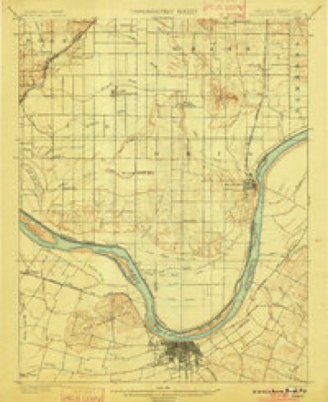
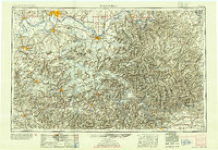
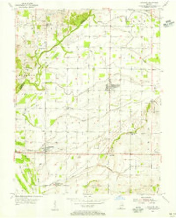
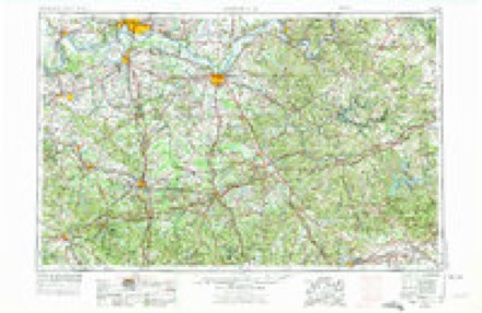
16 topographic sheets cover this place, the earliest surveyed in 1901 and the latest in 1991. It stands in Luce Township. It lies in ZIP code area 47635. The Survey maps it on the Richland City quadrangle.
Topographic sheets covering this place
8 surveys from 16 printed sheetsMatched by testing this settlement's coordinate against the published boundary of every sheet in the United States Geological Survey's historical collection. Each opens the scanned sheet at the Survey.
- 1901 USGS Owensboro quadrangle1:62500, 5 printings
- 1954 USGS Evansville quadrangle1:250000
- 1954 USGS Richland quadrangle1:24000
- 1957 USGS Evansville quadrangle1:250000, 3 printings
- 1961 USGS Evansville quadrangle1:250000, 2 printings
- 1964 USGS Richland City quadrangle1:24000, 2 printings
- 1986 USGS Evansville quadrangle1:100000
- 1991 USGS Evansville quadrangle1:100000
Storms near this place
6 since 1994Regional context, not property-specific evidence. The National Weather Service names Eureka in 6 storm reports between 1994 and 2015: 3 thunderstorm wind, 2 tornado, 1 funnel cloud. No death or injury is recorded in these reports. Each account below is quoted exactly as the forecast office filed it, from the NOAA Storm Events Database, and each date opens the federal record of that event.
| When | Event | Place named | Harm | What the report says |
|---|---|---|---|---|
| June 2011 | Thunderstorm Wind | Eureka | $100,000 | A heat burst occurred in the wake of a line of thunderstorms. About two miles east of Hatfield on Route 66, a large fertilizer auger leg was blown down off a fertilizer storage building. The building sustained minor structural damage to a section of the roof, as well as some limited loss of shingles. Five empty fertilizer wagons were blown up to 100 feet. Several tree limbs were blown down. Peak winds were estimated near 90 mph. The damage area was only about one-quarter mile long and one-quarter mile wide. A heat burst is defined as a localized, sudden increase in surface temperature associated with a thunderstorm, shower, or mesoscale convective system. This heat burst occurred approximately an hour or less following an intense area of thunderstorms that moved through the area. Two witnesses outside during the heat burst experienced temperatures which they believed to be around 100 degrees. The extreme temperatures were said to have only lasted seconds before quickly falling. Heat bursts almost invariably form on the trailing edge of thunderstorm systems. Heat bursts are extremely rare, and this one was especially rare because most heat bursts occur at night. About three miles southeast of Eureka, a trained spotter observed debris in the air above a bending tree line to the south. The wind was accompanied by a roaring sound. This was likely the same heat burst or closely associated with the one near Hatfield. |
| August 2015 | Thunderstorm Wind | Eureka | $5,000 | Two large trees were blown down across South County Road 800 West. |
| November 2013 | Funnel Cloud | Eureka | - | A trained spotter reported a funnel cloud accompanied by a roaring sound. |
| June 2009 | Tornado (EF0) | Eureka | - | This weak tornado continued from Daviess County, Kentucky across the Ohio River into Spencer County. The tornado remained over agricultural river bottomland, causing damage to corn crops and small tree limbs. Peak winds were estimated near 65 mph on this portion of the track. |
| September 2006 | Thunderstorm Wind | Eureka | - | Emergency management personnel estimated winds gusted to 60 MPH at French Island, located in the Ohio River. |
| April 1994 | Tornado (F0) | Eureka | - | A tugboat operator, on the Ohio River, witnessed a small tornado in southwest Spencer County south of Eureka and west of Enterprise. The tornado caused tree damage only on the shore of the Ohio River. |
Nearest settlements
The eight closest, with where each one stands in the county. Distances are straight-line, computed from the Geographic Names Information System coordinates.
| Map | Place | Distance | Sheets |
|---|---|---|---|
| Hatfield | 1.6 miles | 16 | |
| Sand Ridge | 2.9 miles | 16 | |
| Enterprise | 3.2 miles | 19 | |
| Pyeattville | 4.7 miles | 17 | |
| Richland City | 5.1 miles | 16 | |
| Patronville | 5.7 miles | 18 | |
| Spencer County Farm | 5.8 miles | 18 | |
| Reo | 5.8 miles | 17 |
Provenance
This settlement is recorded in the Geographic Names Information System as feature 434247. The sheet list is computed by point-in-boundary test against the United States Geological Survey's historical topographic inventory. Both are works of the United States government and carry no copyright under 17 U.S.C. 105.
Storms. NOAA National Centers for Environmental Information, Storm Events Database https://www.ncei.noaa.gov/stormevents/ A work of the United States government, no copyright under 17 U.S.C. 105. Narratives are quoted verbatim from the National Weather Service report and are not edited or summarised.